MyTopo
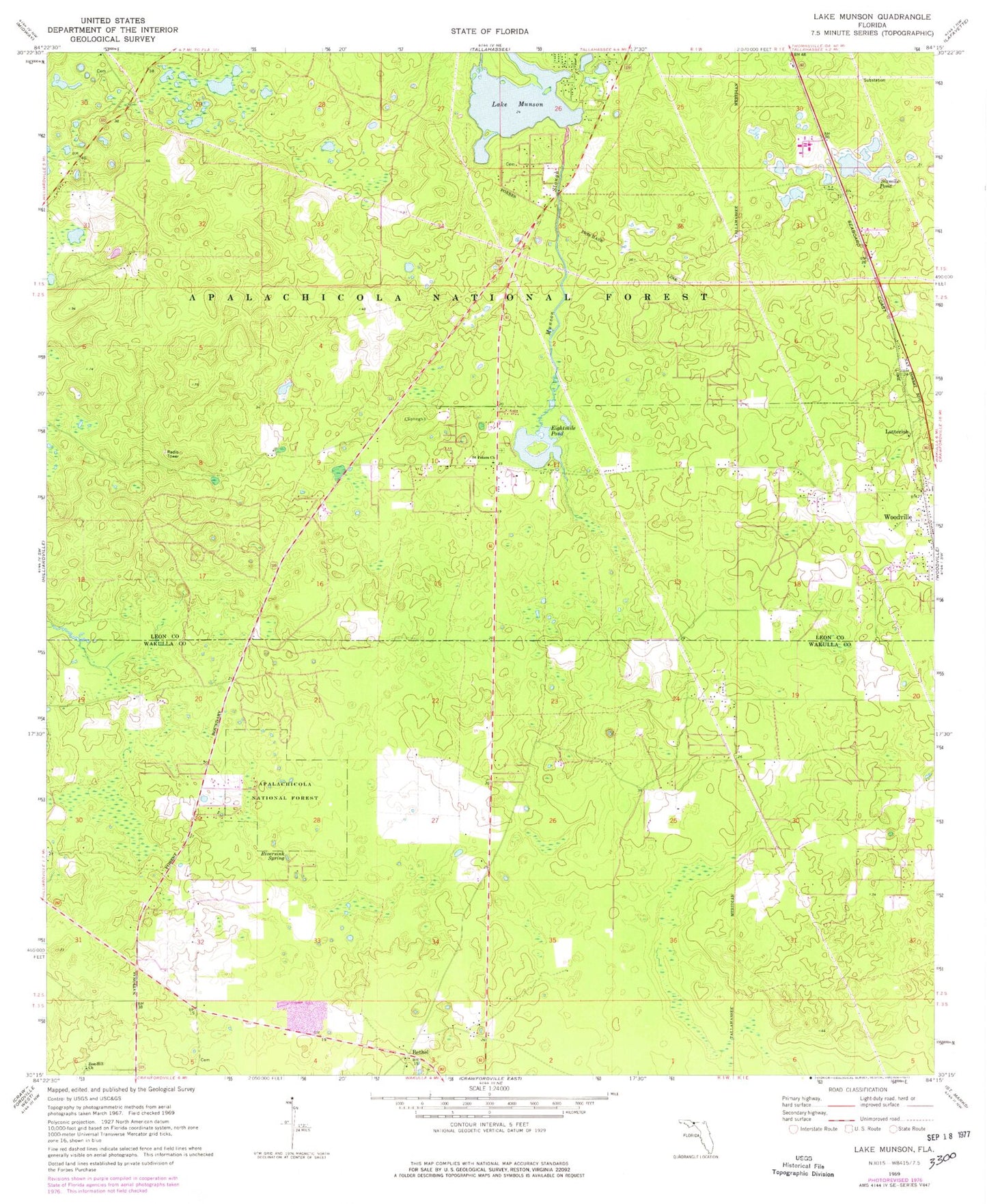
Classic USGS Lake Munson Florida 7.5'x7.5' Topo Map
Couldn't load pickup availability
Historical USGS topographic quad map of Lake Munson in the state of Florida. Map scale may vary for some years, but is generally around 1:24,000. Print size is approximately 24" x 27"
This quadrangle is in the following counties: Leon, Wakulla.
The map contains contour lines, roads, rivers, towns, and lakes. Printed on high-quality waterproof paper with UV fade-resistant inks, and shipped rolled.
Contains the following named places: Bethel, Blue Sink, Eightmile Pond, Fisher Creek, Harvey Cemetery, Haywood Cates Baptist Church, Lake Bradford Baptist Church, Lake Munson, Leon Sinks Geological Area, Lutterloh, Mount Olive Church, Munson Slough, New Hope Church, Northern Hills Church of God, River Sink Volunteer Fire Department Station 11, Riversink Spring, Saint Peters Church, Sixmile Pond, Sutton Cemetery, Woodville Census Designated Place, Woodville Volunteer Fire Department Station 13, Zion Hill Church, ZIP Code: 32305