MyTopo
Classic USGS Lake Nacogdoches North Texas 7.5'x7.5' Topo Map
Couldn't load pickup availability
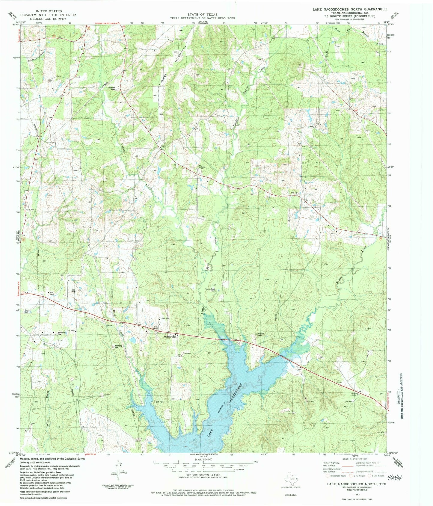
Historical USGS topographic quad map of Lake Nacogdoches North in the state of Texas. Map scale may vary for some years, but is generally around 1:24,000. Print size is approximately 24" x 27"
This quadrangle is in the following counties: Nacogdoches.
The map contains contour lines, roads, rivers, towns, and lakes. Printed on high-quality waterproof paper with UV fade-resistant inks, and shipped rolled.
Contains the following named places: Brewer Cemetery, Bruton - Sanders Cemetery, Caney Creek, Chapel B, Cushing-Douglass Division, Grayland Church Number 1, Haney Chapel, Isaiah Church, Little Bayou Loco, Looney Family Cemetery, Nat, Red Flat Church, Salem Church, Scott Temple, Winter Hill, Winter Hill School