MyTopo
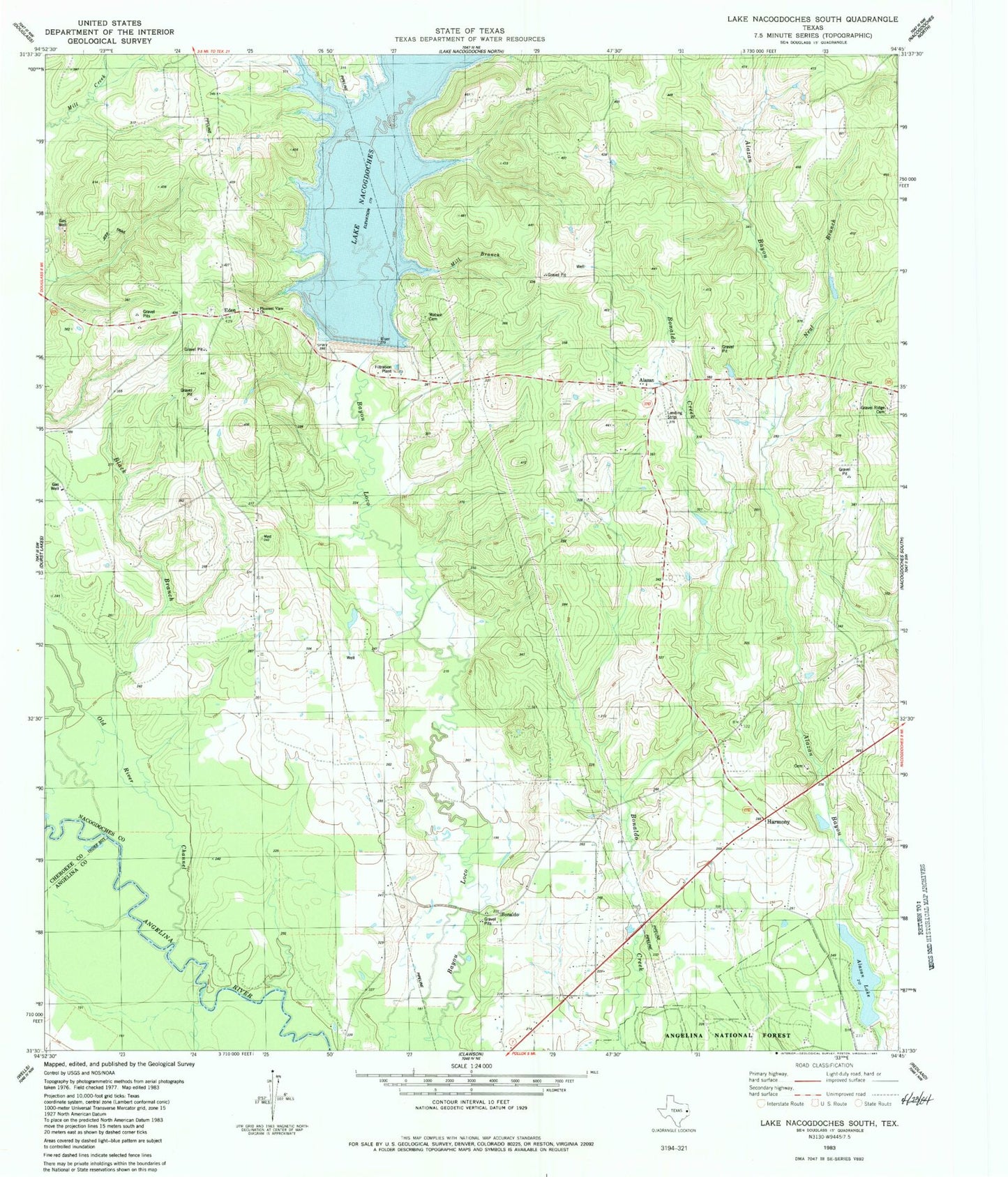
Classic USGS Lake Nacogdoches South Texas 7.5'x7.5' Topo Map
Couldn't load pickup availability
Historical USGS topographic quad map of Lake Nacogdoches South in the state of Texas. Map scale may vary for some years, but is generally around 1:24,000. Print size is approximately 24" x 27"
This quadrangle is in the following counties: Angelina, Cherokee, Nacogdoches.
The map contains contour lines, roads, rivers, towns, and lakes. Printed on high-quality waterproof paper with UV fade-resistant inks, and shipped rolled.
Contains the following named places: Alazan, Alazan Church, Alazan Dam, Alazan Lake, Alazan School, Black Branch, Bonaldo, Bonaldo Church, Dan Branch, Eden, Eden Cemetery, Eden School, Gravel Ridge Cemetery, Gravel Ridge Church, Harmony, Harmony School, Lake Nacogdoches, Lake Nacogdoches Area Volunteer Fire Department Station 1, Loco Dam, Mill Branch, Neal Branch, Old River Channel, Pleasant Hill School, Pleasant View Church, Tank Johnson Dam, Tank Johnson Lake, Watson Cemetery, Yellow Bank Creek