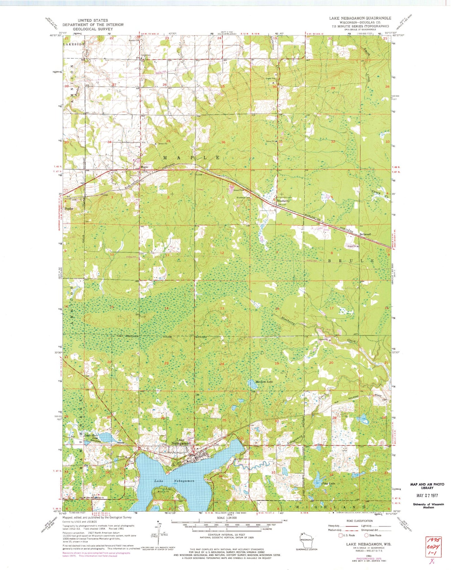
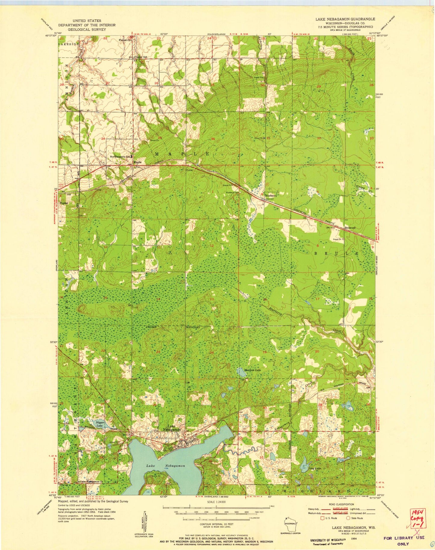
MyTopo
Classic USGS Lake Nebagamon Wisconsin 7.5'x7.5' Topo Map
Couldn't load pickup availability
Historical USGS topographic quad map of Lake Nebagamon in the state of Wisconsin. Map scale may vary for some years, but is generally around 1:24,000. Print size is approximately 24" x 27"
This quadrangle is in the following counties: Douglas.
The map contains contour lines, roads, rivers, towns, and lakes. Printed on high-quality waterproof paper with UV fade-resistant inks, and shipped rolled.
Contains the following named places: Bellwood, Blueberry, Blueberry Creek, Corner School, Finnish Church, Lake Nebagamon, Lake Nebagamon Church, Lake Nebagamon Police Department, Lake Nebagamon Post Office, Lake Nebagamon Volunteer Fire Department, Little Steele Lake, Lydon Lake, Maple, Maple Fire Department, Maple Post Office, Minnow Lake, Northwestern High School, Pine Lake, Saint Anns Cemetery, Town of Maple, Village of Lake Nebagamon