MyTopo
Classic USGS Lake of the Falls Wisconsin 7.5'x7.5' Topo Map
Couldn't load pickup availability
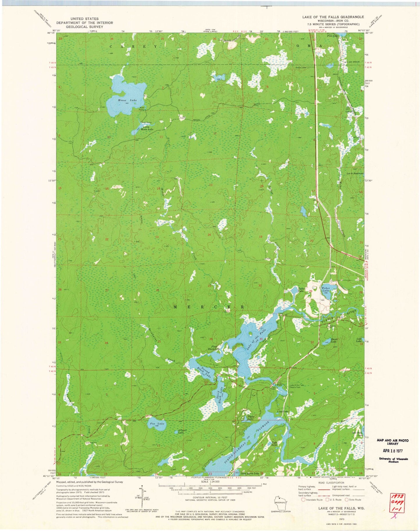
Historical USGS topographic quad map of Lake of the Falls in the state of Wisconsin. Typical map scale is 1:24,000, but may vary for certain years, if available. Print size: 24" x 27"
This quadrangle is in the following counties: Iron.
The map contains contour lines, roads, rivers, towns, and lakes. Printed on high-quality waterproof paper with UV fade-resistant inks, and shipped rolled.
Contains the following named places: Altman Lake, Davis Lake, Dead Horse Lake, Dollar Creek, Dollar Lake, Drinkwine Creek, Lake of the Falls, First Black Lake, Fox Lake, Kyle Lake, Lake of the Falls County Park, Lipp Lake, Little Moose Lake, Little Turtle River, Lost Lake, Moose Creek, Moose Lake, Popko Lake, Second Black Lake, Third Black Lake, Weber Creek, Weber Lake, Carter, Town of Mercer, Lake of the Falls Dam, Lake of the Falls 139, Moose Lake State Natural Area


