MyTopo
Classic USGS Lake Ozonia New York 7.5'x7.5' Topo Map
Couldn't load pickup availability
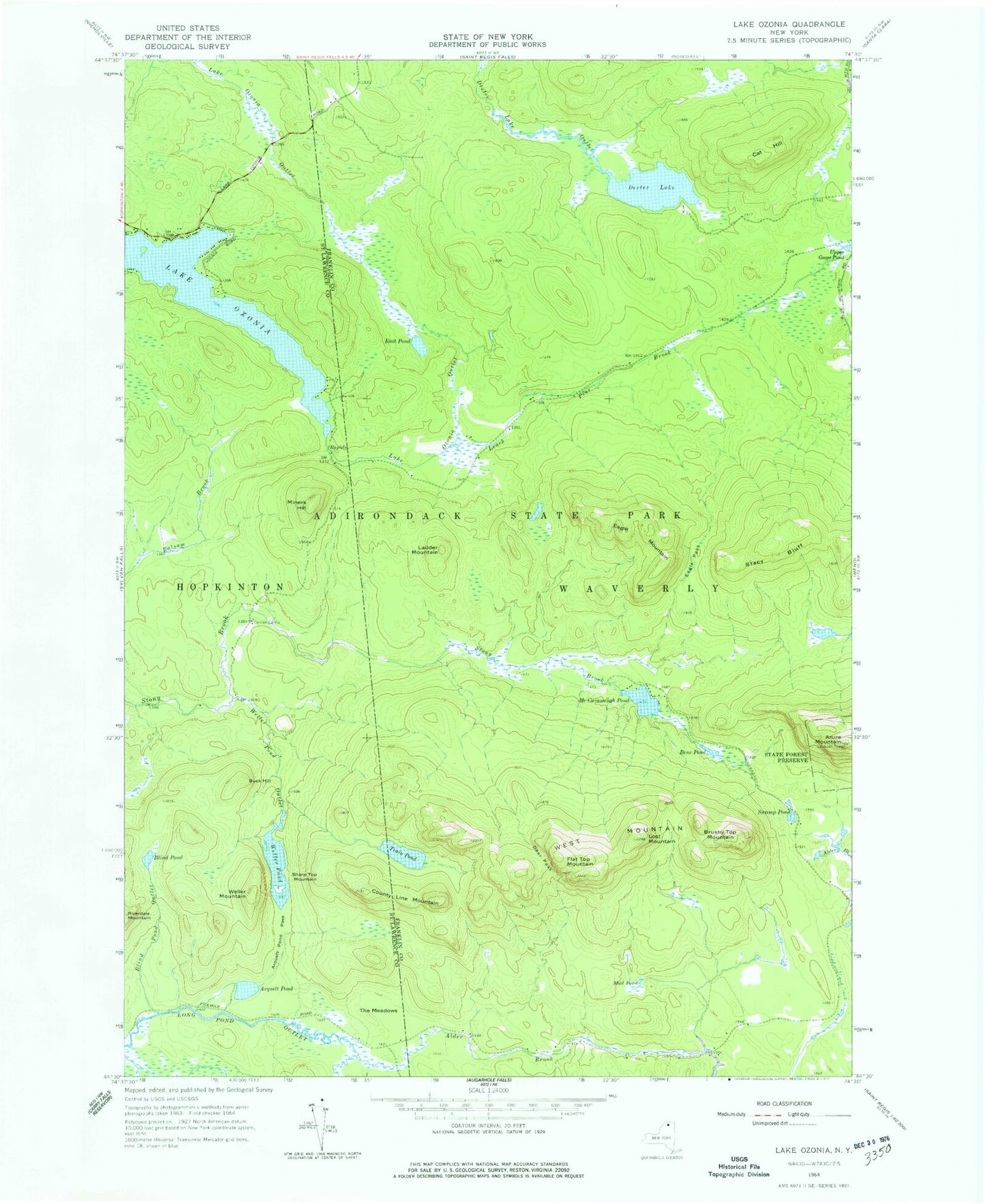
Historical USGS topographic quad map of Lake Ozonia in the state of New York. Typical map scale is 1:24,000, but may vary for certain years, if available. Print size: 24" x 27"
This quadrangle is in the following counties: Franklin, St. Lawrence.
The map contains contour lines, roads, rivers, towns, and lakes. Printed on high-quality waterproof paper with UV fade-resistant inks, and shipped rolled.
Contains the following named places: Azure Mountain, Bens Pond, Brushy Top Mountain, Buck Hill, Cat Hill, Deer Pass, Dexter Lake, Eagle Mountain, Eagle Pass, East Pond, Flat Top Mountain, Ladder Mountain, Leach Pine Brook, Lost Mountain, McCavanaugh Pond, Miners Hill, Mud Pond, Sharp Top Mountain, Stacy Bluff, Swamp Pond, Upper Goose Pond, West Mountain, Alder Brook, Arquett Pond, Arquett Pond Pass, Blind Pond, Blind Pond Outlet, Center Camp, County Line Mountain, Lake Ozonia, Riverdale Mountain, The Meadows, Train Pond, Weller Mountain, Weller Pond, Weller Pond Outlet, Town of Waverly


