MyTopo
Classic USGS Lake Philippa Washington 7.5'x7.5' Topo Map
Couldn't load pickup availability
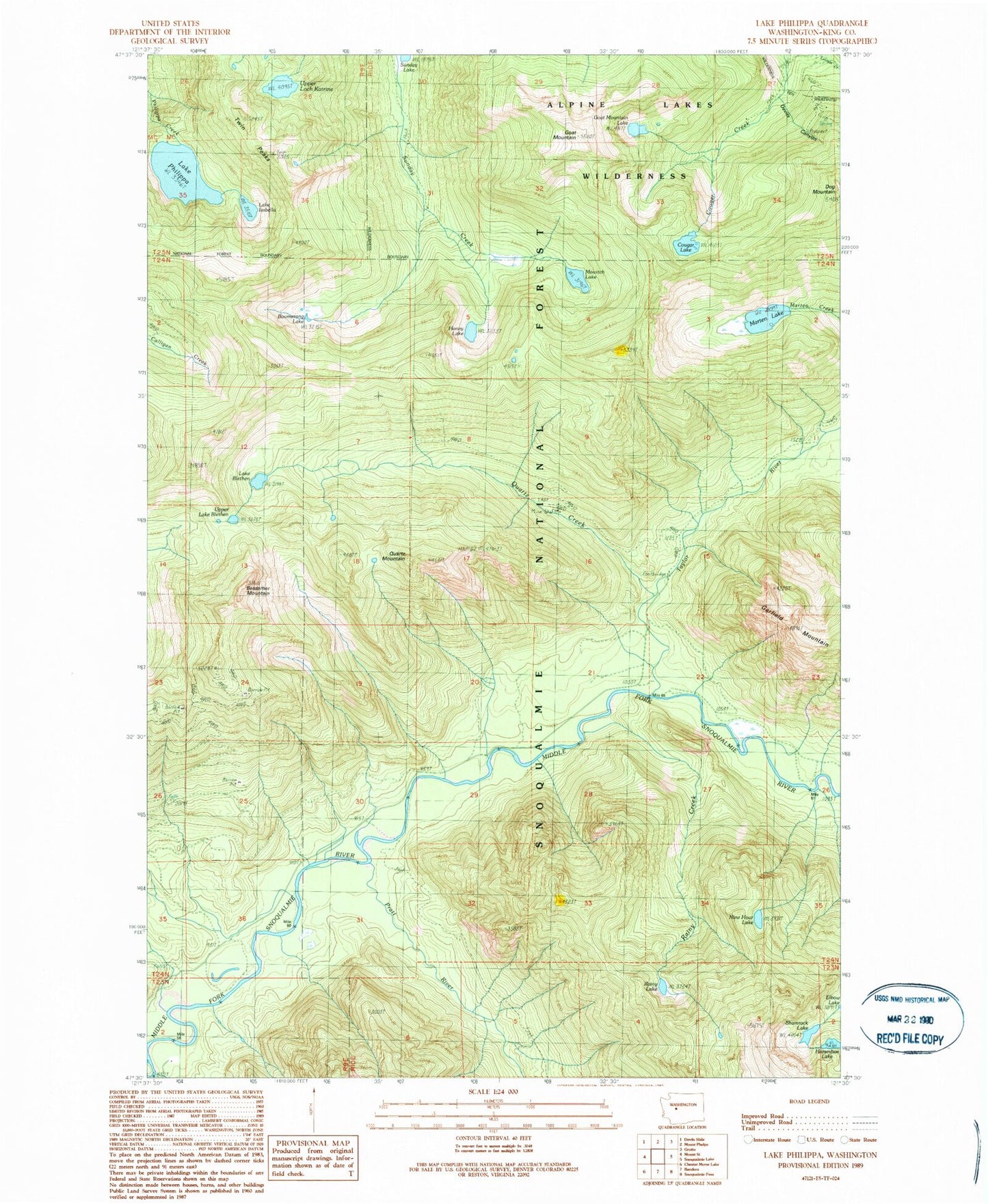
Historical USGS topographic quad map of Lake Philippa in the state of Washington. Typical map scale is 1:24,000, but may vary for certain years, if available. Print size: 24" x 27"
This quadrangle is in the following counties: King.
The map contains contour lines, roads, rivers, towns, and lakes. Printed on high-quality waterproof paper with UV fade-resistant inks, and shipped rolled.
Contains the following named places: Bessemer Mountain, Lake Blethen, Boomerang Lake, Camp Brown Guard Station, Cougar Lake, Devils Canyon, Dog Mountain, Elbow Lake, Goat Mountain, Goat Mountain Lake, Honey Lake, Horseshoe Lake, Lake Isabella, Marten Lake, Mowitch Lake, Nine Hour Lake, Lake Philippa, Pratt River, Quartz Creek, Quartz Mountain, Rainy Creek, Rainy Lake, Shamrock Lake, Taylor River, Taylor River Forest Camp, Twin Peaks, Upper Lake Blethen, Upper Loch Katrine, Nordrum Lookout, Nordrum (historical), Snoqualmie Valley Division