MyTopo
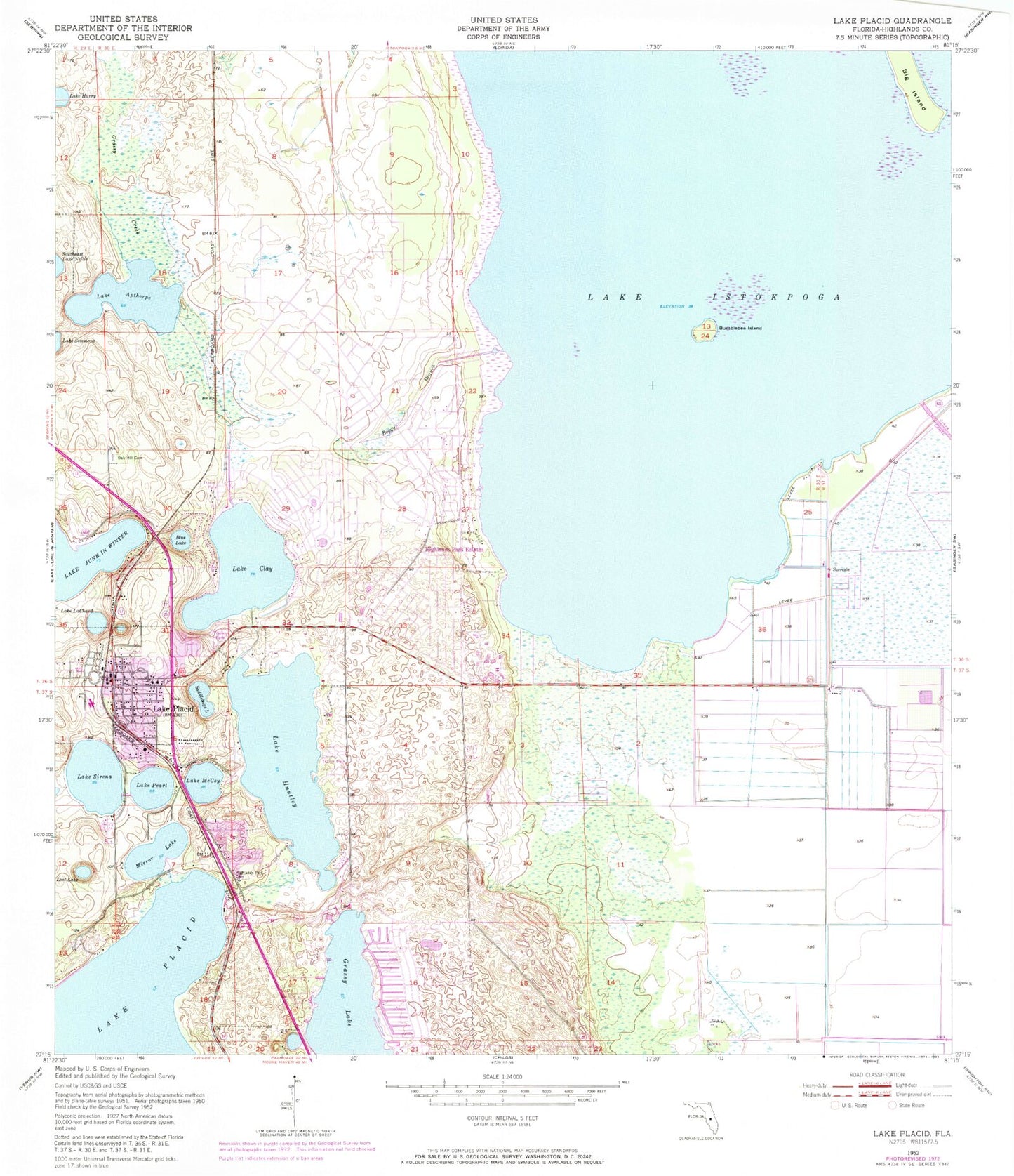
Classic USGS Lake Placid Florida 7.5'x7.5' Topo Map
Couldn't load pickup availability
Historical USGS topographic quad map of Lake Placid in the state of Florida. Map scale may vary for some years, but is generally around 1:24,000. Print size is approximately 24" x 27"
This quadrangle is in the following counties: Highlands.
The map contains contour lines, roads, rivers, towns, and lakes. Printed on high-quality waterproof paper with UV fade-resistant inks, and shipped rolled.
Contains the following named places: American Heritage Private School of Highlands County, Bethel Baptist Church, Big Island, Blue Lake, Boggy Branch, Bumblebee Island, Church of Christ, Church of God of Placid Temple, Church of the Nazarene, Citrus Plaza, Compton Plaza, Crawfords Trailer Park, Faith Baptist Church, Florida Highway Patrol Station, Florida Hospital Lake Placid, Florida Hospital Lake Placid Heliport, Grassy Lake, Hickory Grove Trailer Park, Highland Parks Volunteer Fire Department Station 33, Highlands County, Highlands County Emergency Medical Services Lake Placid, Highlands County Emergency Medical Services Lake Placid Tomoka, Highlands Park Estates, Interlake Academy, Lake Apthorp, Lake Clay, Lake Gardens Mobile Home Park, Lake Harry, Lake Huntley, Lake Istokpoga, Lake LaChard, Lake McCoy, Lake Pearl, Lake Placid, Lake Placid Elementary School, Lake Placid High School, Lake Placid Middle School, Lake Placid Police Department, Lake Placid Post Office, Lake Placid Seventh Day Adventist Church, Lake Placid Shopping Center, Lake Placid Volunteer Fire Department, Lake Sirena, Lakeside Village Mobile Home Park, Lost Lake, Memorial United Methodist Church, Mirror Lake, New Grace Temple Church of God by Faith, New Life Assembly Church, Oak Hill Cemetery, Paradise Mobile Village, Saddlebags Lake, Shiloh Missionary Baptist Church, Sun N Lake Volunteer Fire Department Station 41, Sunvale, Sylvan Shores, Sylvan Shores Census Designated Place, Town of Lake Placid, Tropical Harbor Estates Mobile Home Park


