MyTopo
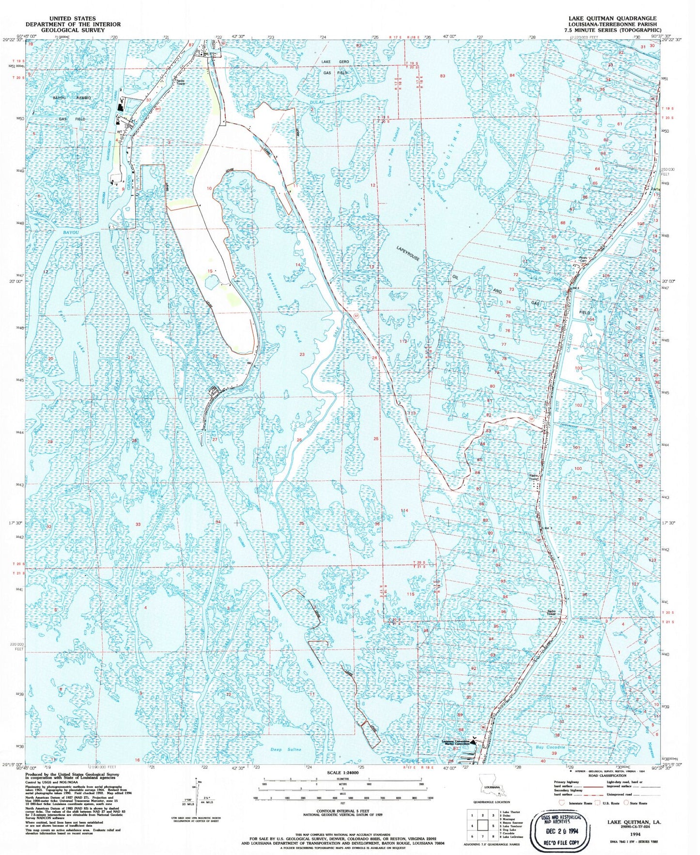
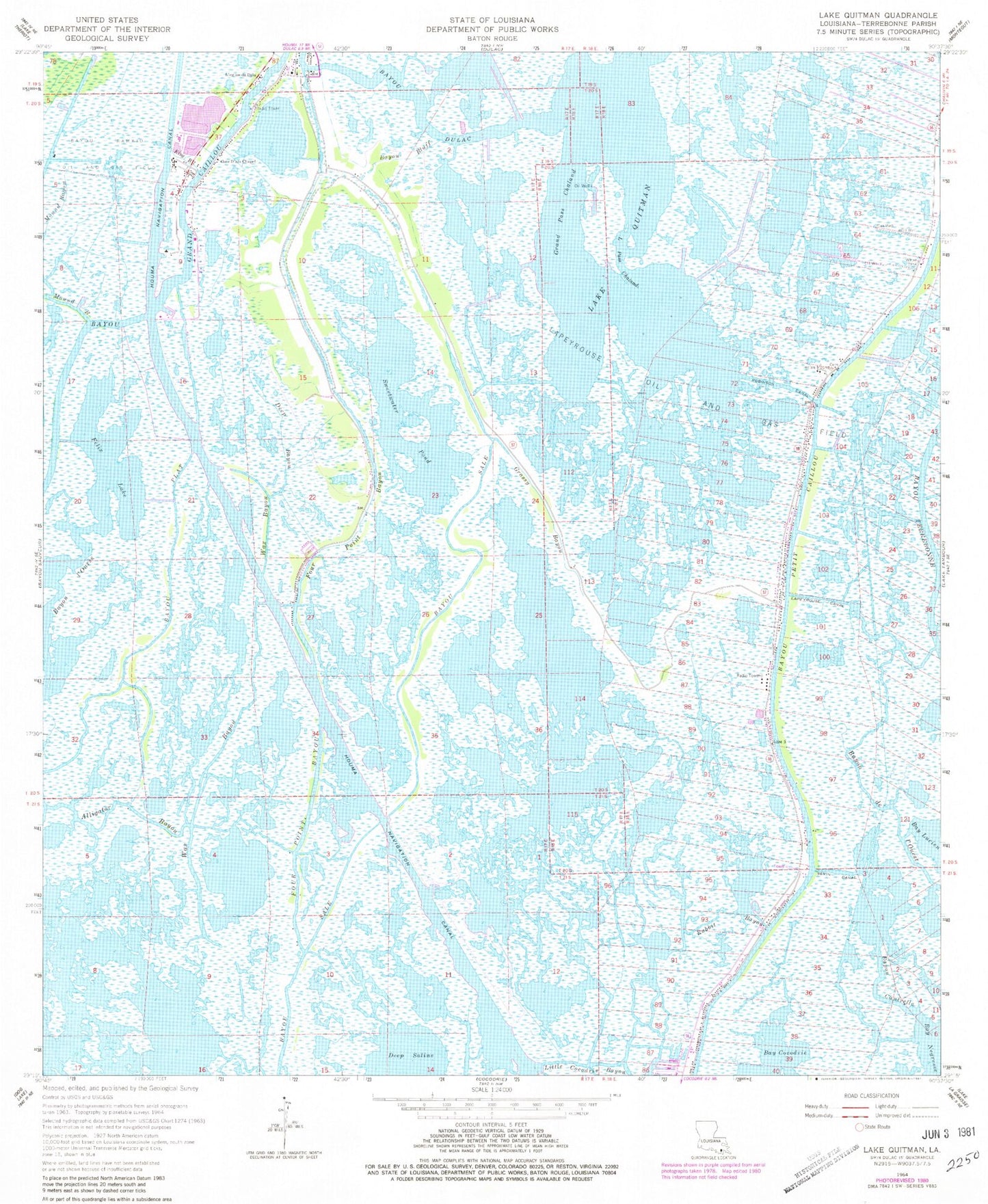
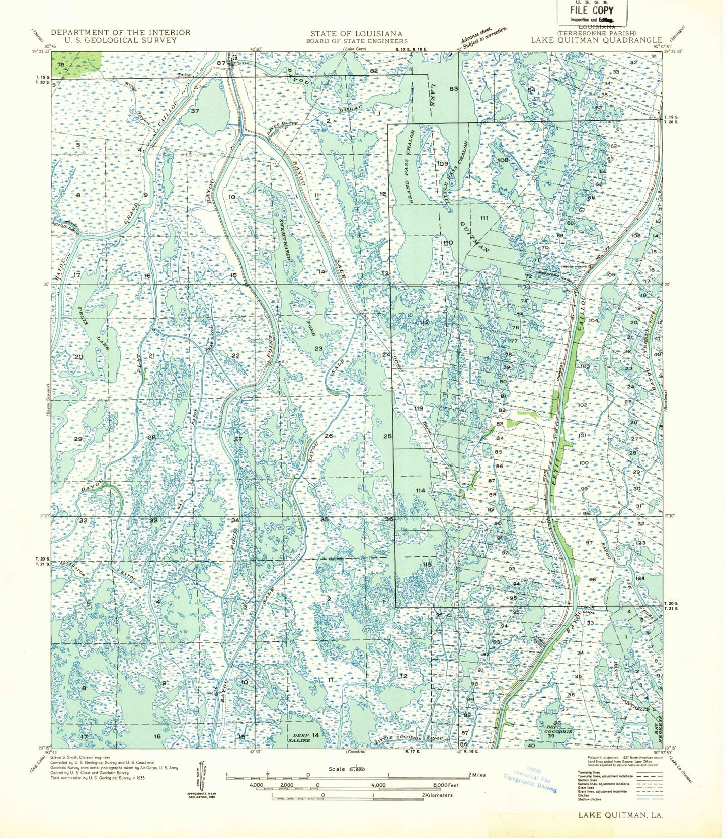
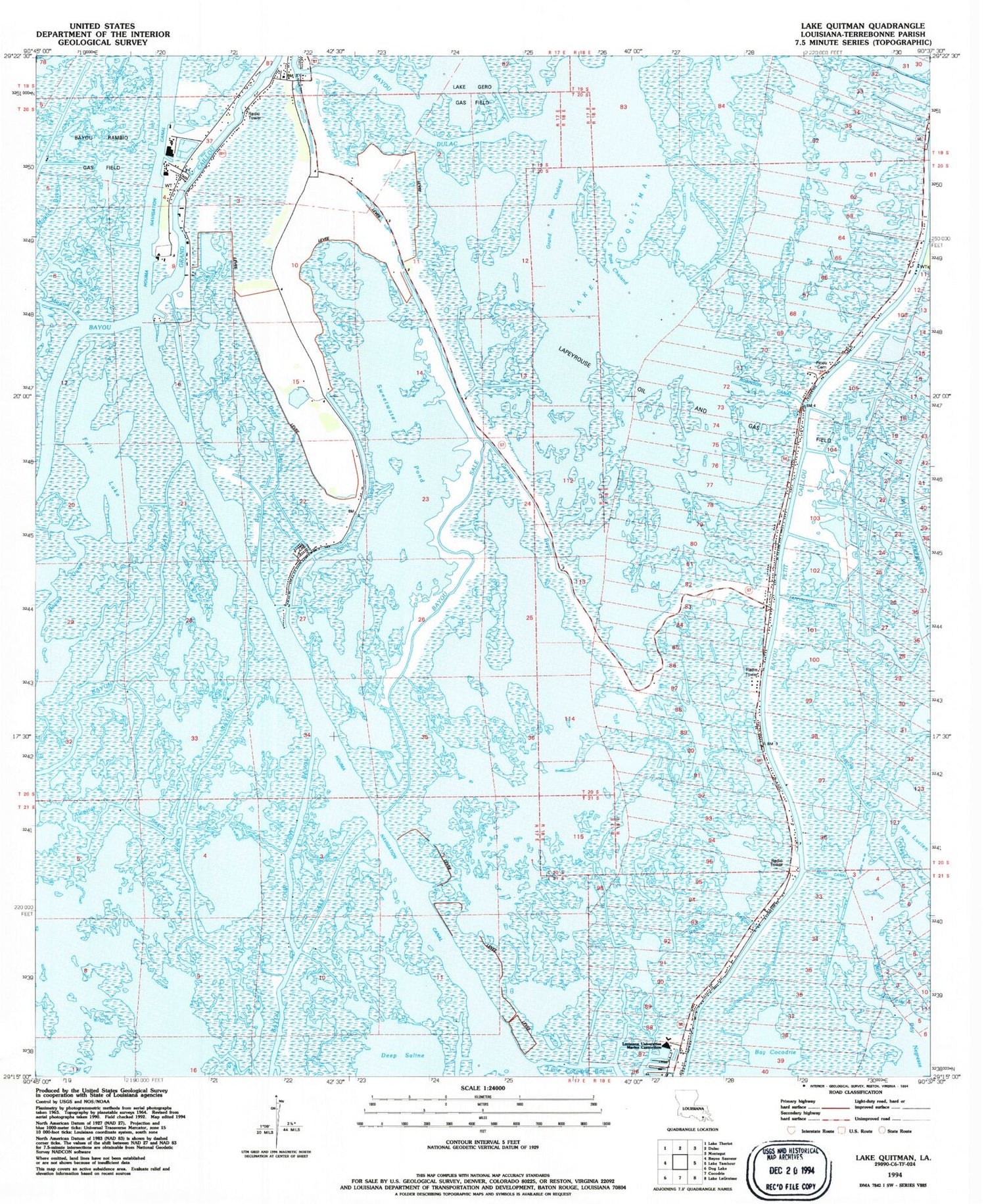
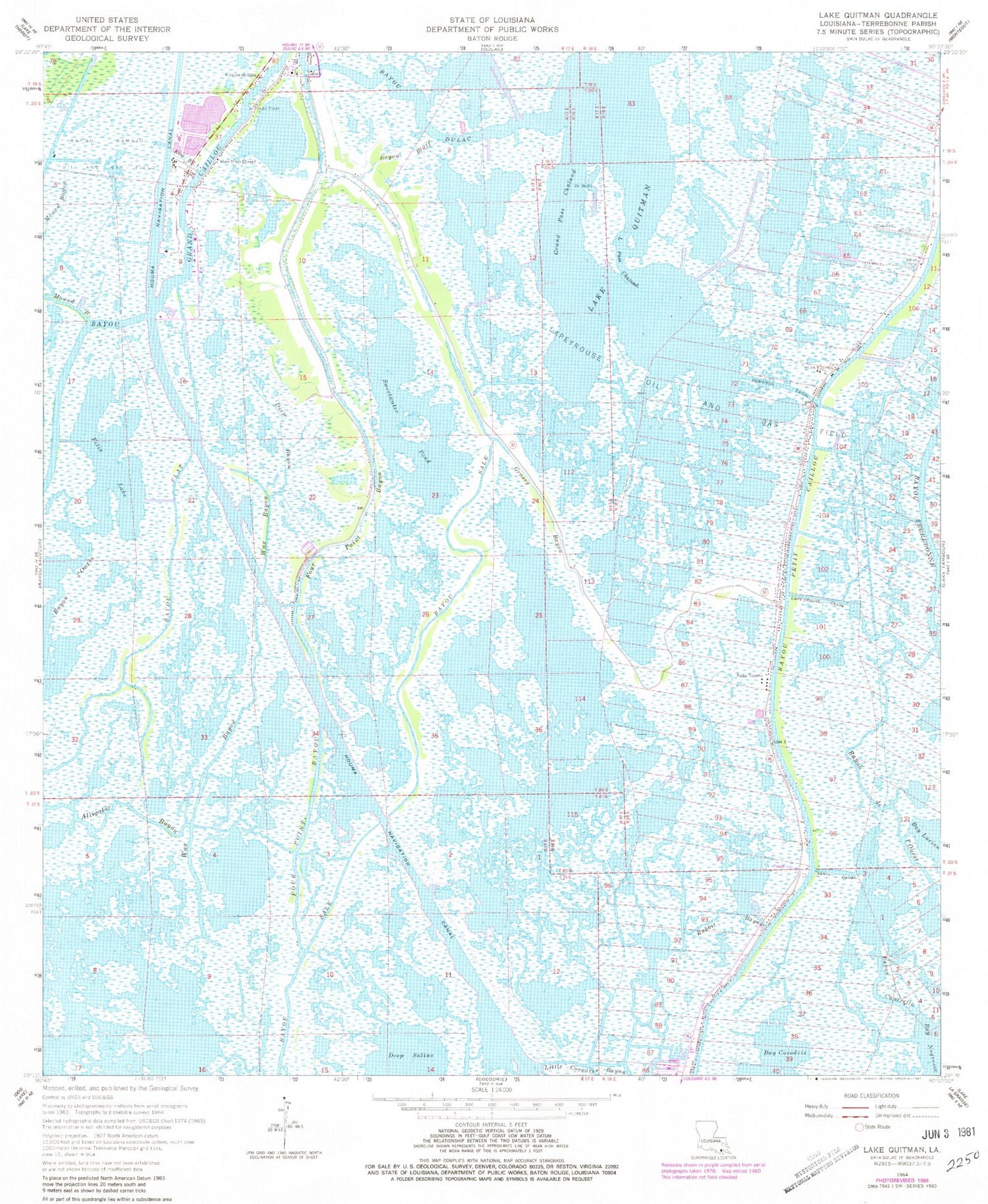
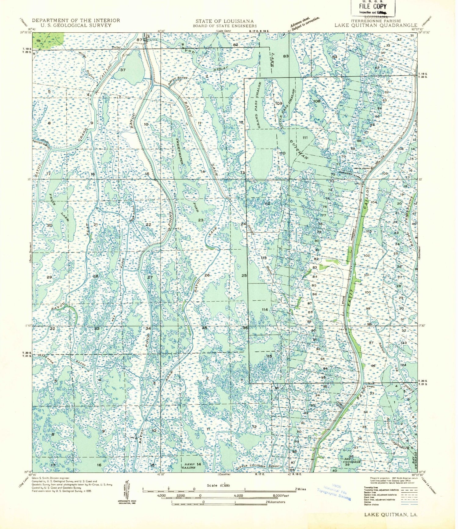
Classic USGS Lake Quitman Louisiana 7.5'x7.5' Topo Map
Couldn't load pickup availability
Historical USGS topographic quad map of Lake Quitman in the state of Louisiana. Map scale may vary for some years, but is generally around 1:24,000. Print size is approximately 24" x 27"
This quadrangle is in the following counties: Terrebonne.
The map contains contour lines, roads, rivers, towns, and lakes. Printed on high-quality waterproof paper with UV fade-resistant inks, and shipped rolled.
Contains the following named places: Alligator Bayou, Bayou Bluff, Bayou Cantrelle, Bayou Dulac, Bayou l'Ourse, Bayou Petit Caillou, Bayou Plat, Clanton Chapel United Methodist Church, Cure D'Ars Chapel, Deep Saline, Deep Saline Gas Field, Dulac Bridge, Dulac Imco Services Dock Heliport, Dulac School, Felix Lake, Four Point Bayou, Grand Caillou Volunteer Fire Department, Grand Pass Chaland, Grassy Bayou, Houma Terrebonne Heliport, King Bayou, Lake Quitman, Lapeyrouse Canal, Lapeyrouse Oil and Gas Field, L'eglise de Deju, Little Caillou Volunteer Fire Department Station 4 Lower Station, Little Pass Chaland, Picou Cemetery, Rabbit Bayou, Robinson Canal, Sevin Canal, Sweetwater Pond, Union Dulac Heliport, Wax Bayou, ZIP Code: 70353
