MyTopo
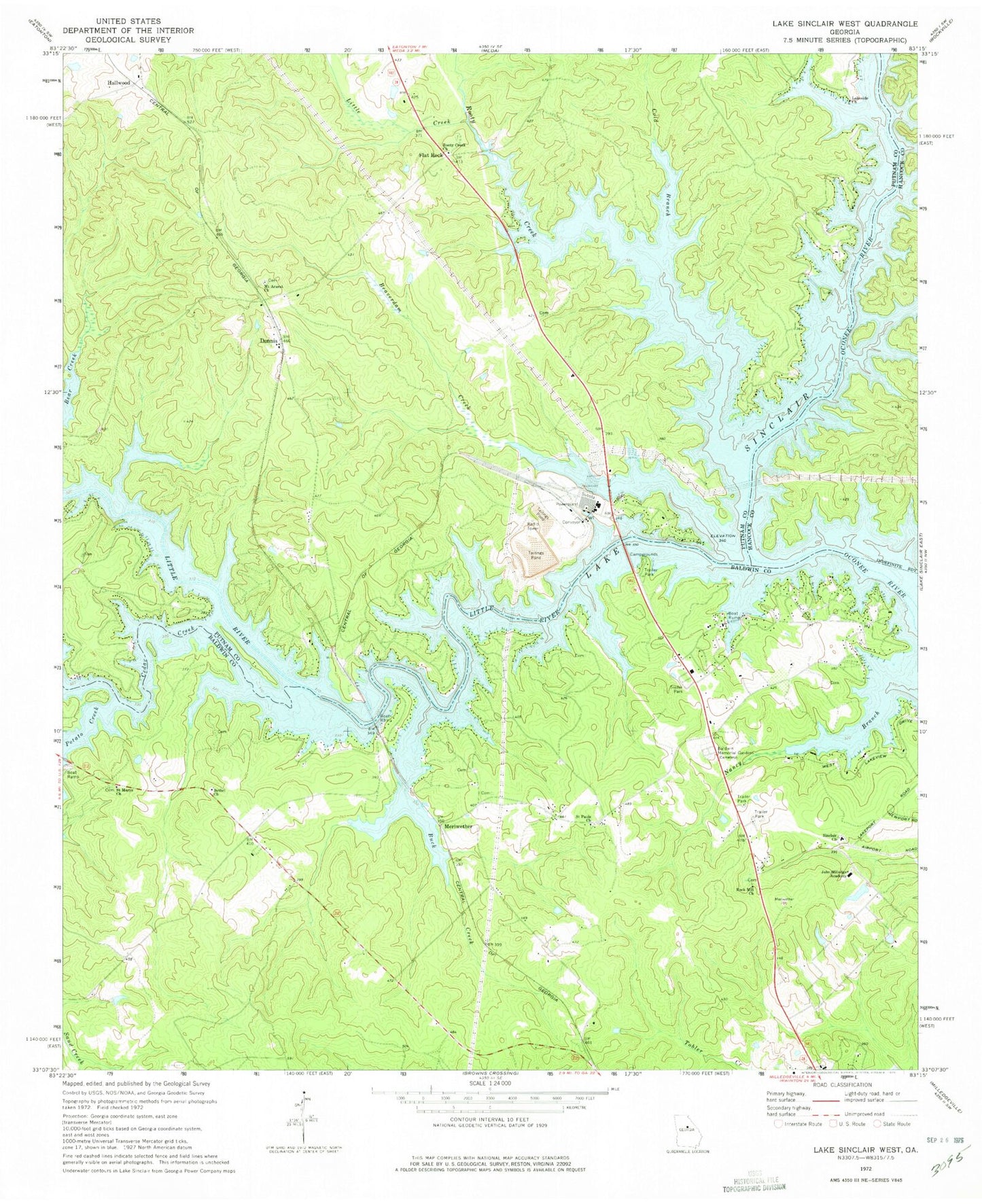
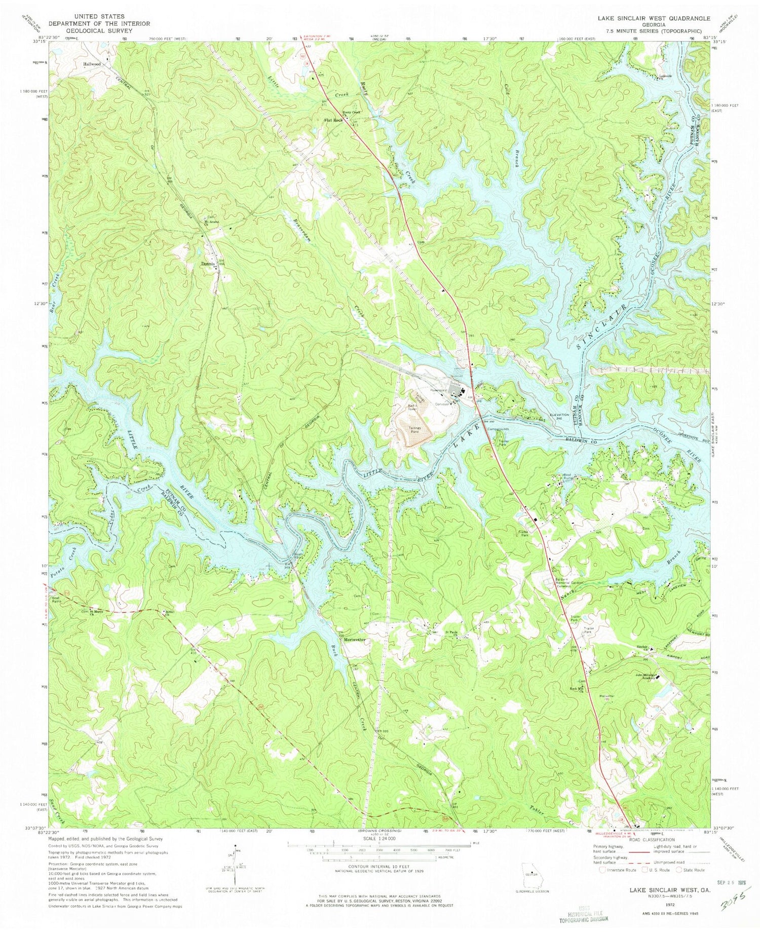
Classic USGS Lake Sinclair West Georgia 7.5'x7.5' Topo Map
Couldn't load pickup availability
Historical USGS topographic quad map of Lake Sinclair West in the state of Georgia. Typical map scale is 1:24,000, but may vary for certain years, if available. Print size: 24" x 27"
This quadrangle is in the following counties: Baldwin, Hancock, Putnam.
The map contains contour lines, roads, rivers, towns, and lakes. Printed on high-quality waterproof paper with UV fade-resistant inks, and shipped rolled.
Contains the following named places: Cedar Creek, Baldwin Memorial Gardens, Beaverdam Creek, Bethel Church, Buck Creek, Cold Branch, John Milledge Academy Christian School, Lakeside Church, Little Creek, Mount Ararat Church, Rock Mill Church, Rooty Creek Church, Saint Marys Church, Saint Pauls Church, Sinclair Church, Meriwether, Potato Creek, Rooty Creek, Flat Rock, John Milledge Academy Dam, John Milledge Academy Lake, Fellowship Church, Howe Cemetery, Dennis Grove School (historical), Harllee Branch Power Plant, Humbers Old Ferry (historical), Mount Ararat School (historical), Nona, Dennis, Hallwood, Little River, Jackson Family Cemetery, Baldwin County Fire and Rescue Department Station 7, Baldwin County Fire and Rescue Department Station 6, Putnam County Fire Rescue Department Station 4, Putnam County Fire Department Station 2, Deerfield Landing


