MyTopo
Classic USGS Lake Talquin Florida 7.5'x7.5' Topo Map
Couldn't load pickup availability
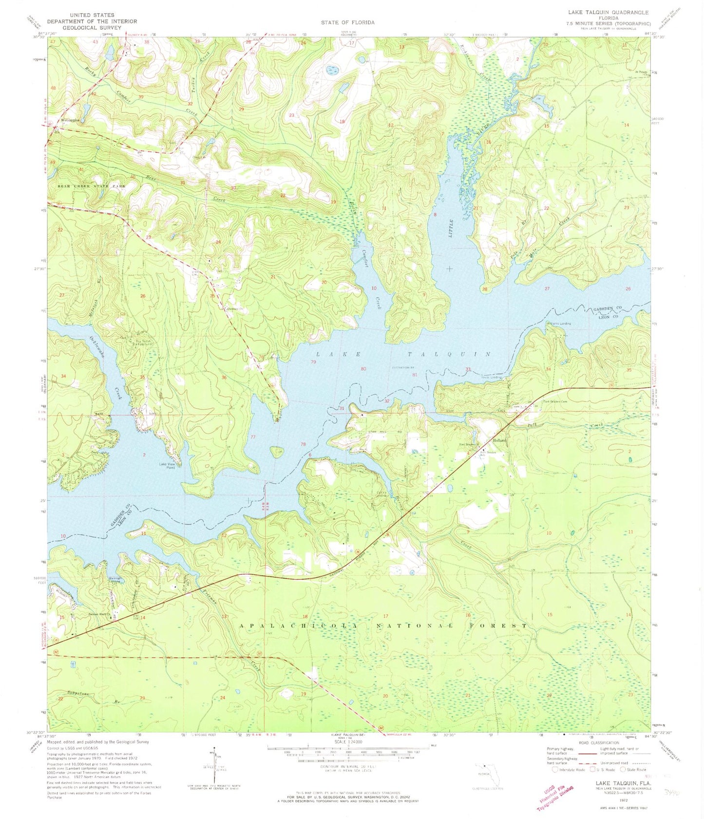
Historical USGS topographic quad map of Lake Talquin in the state of Florida. Typical map scale is 1:24,000, but may vary for certain years, if available. Print size: 24" x 27"
This quadrangle is in the following counties: Gadsden, Leon.
The map contains contour lines, roads, rivers, towns, and lakes. Printed on high-quality waterproof paper with UV fade-resistant inks, and shipped rolled.
Contains the following named places: Bear Creek, Bear Creek State Park, Collins Landing, Ebenezer Church, Fort Braden Cemetery, Fort Braden Church, Fort Braden School, Freeman Creek, Harvey Creek, Holland, Jackson Bluff Church, Lake View Point, Little River, McIntosh Branch, Mule Creek, Ocklawaha Creek, Pole Branch, Polk Creek, Richlander Creek, Rocky Comfort Creek, Lake Talquin, Turkey Creek, Vause Landing, Wainright Landing, Wetumpka, Williams Landing, J T Budd Pond, Wallwood Boy Scout Camp Reserve, Johnsons Landing, Smith Landing, Grays Number Two Landing, Boozers Landing, Browns Landing, Rawlings Landing, Saint Francis of Assisi Episcopal Church, Fort Braden, Davis Boat Landing, Joe Budd Wildlife Management Area, Miller Camp, Camp Star, Vinzant, Ebenezer, Harveys Landing, Drakes Landing, Tallahassee City Fire Department Station 14, Lake Talquin Volunteer Fire Department and Emergency Medical Services, Wetumpka Volunteer Fire Department Cooks Landing Station 2, Fort Braden Census Designated Place


