MyTopo
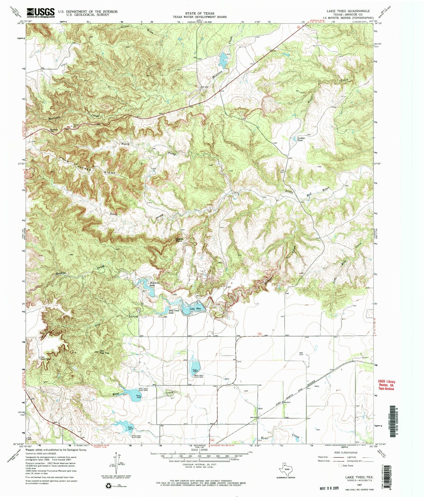
Classic USGS Lake Theo Texas 7.5'x7.5' Topo Map
Couldn't load pickup availability
Historical USGS topographic quad map of Lake Theo in the state of Texas. Typical map scale is 1:24,000, but may vary for certain years, if available. Print size: 24" x 27"
This quadrangle is in the following counties: Briscoe.
The map contains contour lines, roads, rivers, towns, and lakes. Printed on high-quality waterproof paper with UV fade-resistant inks, and shipped rolled.
Contains the following named places: Dry Creek, Dry Creek Lake, Eagles Point, Hawkins Lake, Holmes Creek, John Haynes Ridge, Ladder Tank, North Prong Little Red River, Old Flat Top, Lake Theo, South Prong Little Red River, Lake Theo Dam, Hawkins Lake Dam, Soil Conservation Service Site 3 Dam, Soil Conservation Service Site 3 Reservoir, Soil Conservation Service Site 1 Dam, Soil Conservation Service Site 1 Reservoir, Soil Conservation Service Site 2 Dam, Soil Conservation Service Site 2 Reservoir, Luther Lake Dam, Luther Lake, Collier Tank Dam, Collier Tank, Quitaque Division, Gyp Springs, Caprock Canyons State Park, Caprock Canyons State Park and Trailway, Natural Bridge