MyTopo
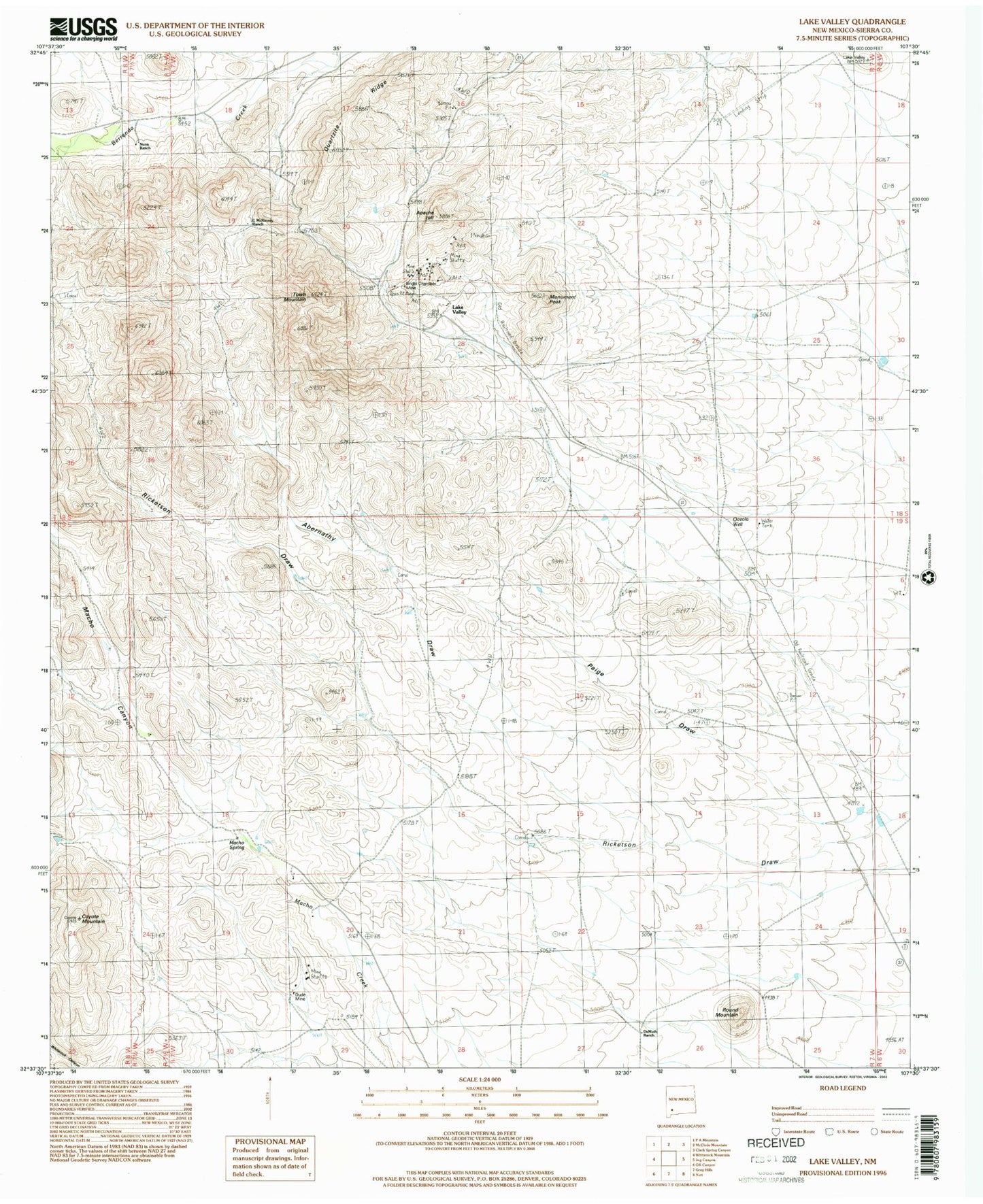
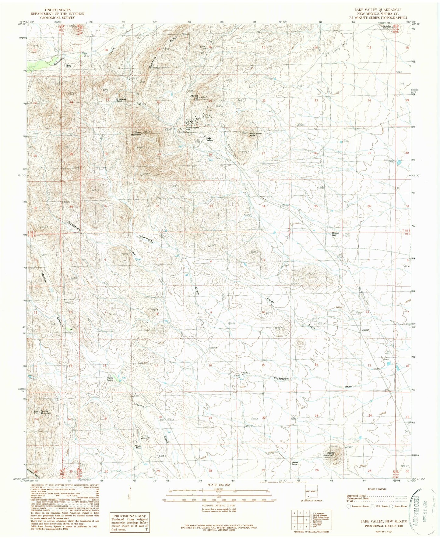
Classic USGS Lake Valley New Mexico 7.5'x7.5' Topo Map
Couldn't load pickup availability
Historical USGS topographic quad map of Lake Valley in the state of New Mexico. Map scale may vary for some years, but is generally around 1:24,000. Print size is approximately 24" x 27"
This quadrangle is in the following counties: Sierra.
The map contains contour lines, roads, rivers, towns, and lakes. Printed on high-quality waterproof paper with UV fade-resistant inks, and shipped rolled.
Contains the following named places: Abernathy Draw, Apache Hill, Booth, Bridal Chamber Mine, C McKinney Ranch, Coyote Mountain, De Muth Ranch, Dude Mine, Franks Ranch, Good Luck, Lake Valley, Lake Valley Cemetery, Lake Valley Mines Company, Lake Valley Post Office, Macho Spring, Monument Peak, Nunn Ranch, Oceola Well, Old Dude, Paige Draw, Phillips Ranch, Quartzite Ridge, Round Mountain, Sherman Well, Sierra Apache, Sierra Bella, Sierra Grande Mine, Town Mountain, Victory