MyTopo
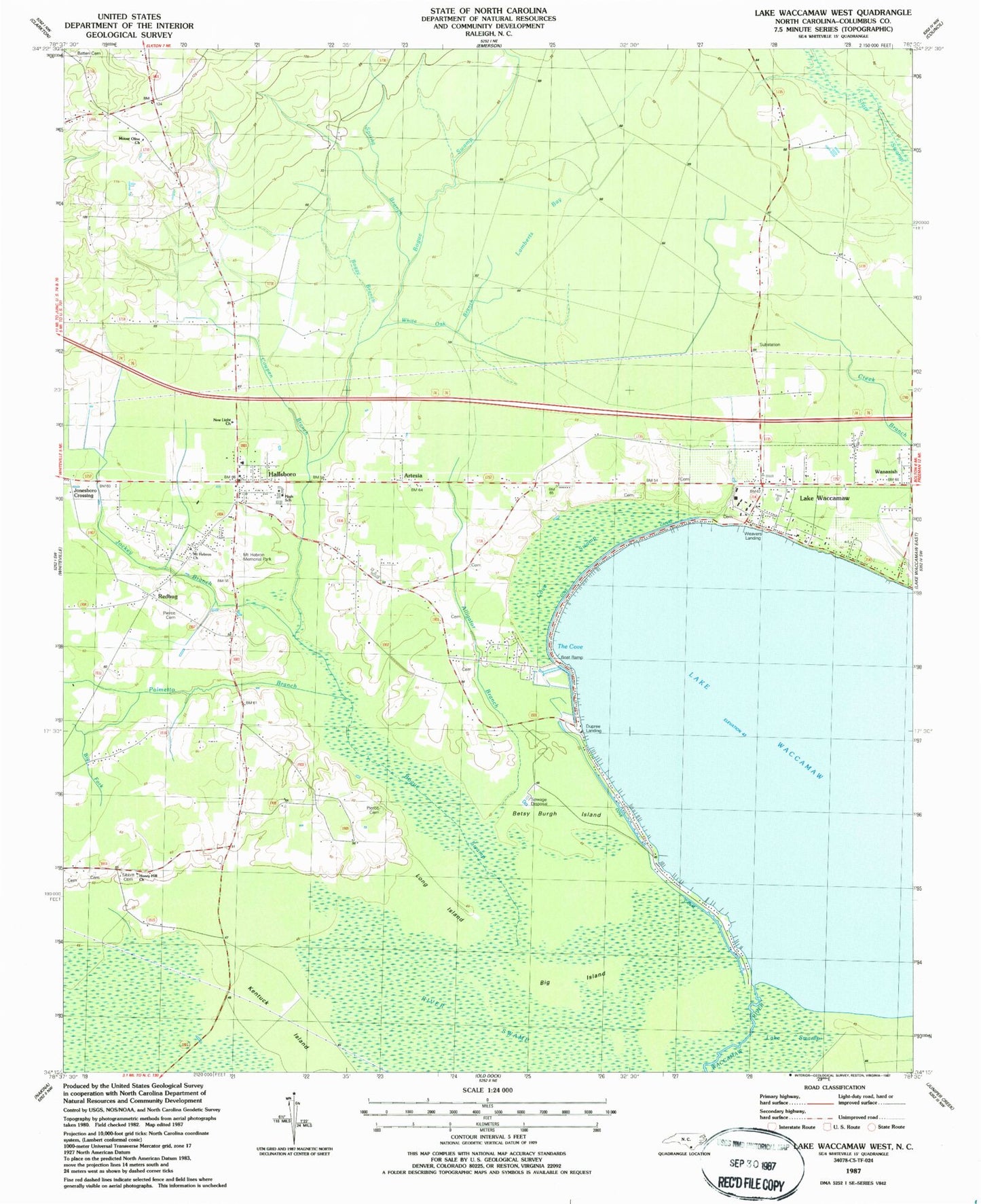
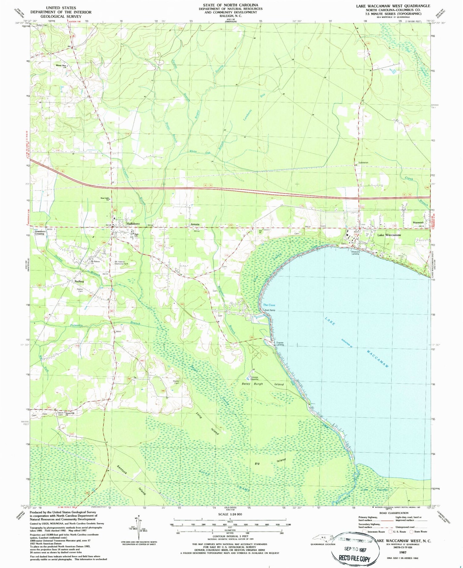
Classic USGS Lake Waccamaw West North Carolina 7.5'x7.5' Topo Map
Couldn't load pickup availability
Historical USGS topographic quad map of Lake Waccamaw West in the state of North Carolina. Map scale may vary for some years, but is generally around 1:24,000. Print size is approximately 24" x 27"
This quadrangle is in the following counties: Columbus.
The map contains contour lines, roads, rivers, towns, and lakes. Printed on high-quality waterproof paper with UV fade-resistant inks, and shipped rolled.
Contains the following named places: Alligator Branch, Artesia, Artesia School, Batten Cemetery, Betsy Burgh Island, Big Fork, Big Island, Boggy Branch, Bogue Swamp, Boys Home Junior High School, Country Side Mobile Home Park, Cove Canal, Cove Swamp, Cowpen Branch, Cypress Pond, Dupree Landing, First Baptist Church of Lake Waccamaw, Hallsboro, Hallsboro Census Designated Place, Hallsboro Elementary School, Hallsboro High School, Hallsboro Post Office, Hallsboro Volunteer Fire Department Station 16, Honey Hill Church, Jockey Branch, Jonesboro Crossing, Kentuck Island, Lake Waccamaw, Lake Waccamaw Fire Department and Rescue Squad Station 27, Lake Waccamaw Fire Station 9, Lake Waccamaw Police Department, Lake Waccamaw Post Office, Lake Waccamaw Wastewater Treatment Plant, Lamberts Bay, Long Island, Mount Hebron Church, Mount Hebron Memorial Park, Mount Olive Church, New Light Church, Palmetto Branch, Pierce Cemetery, Redbug, Saint Paul Church, Sibbitt Cemetery, Slab Run, Slap Swamp, Spring Branch, The Cove, Town of Lake Waccamaw, Township of Bogue, Township of Waccamaw, Wananish, Weavers Landing, White Oak Branch, ZIP Codes: 28442, 28450


