MyTopo
Classic USGS Lake Weohyakapka NE Florida 7.5'x7.5' Topo Map
Regular price
$16.95
Regular price
Sale price
$16.95
Unit price
per
Couldn't load pickup availability
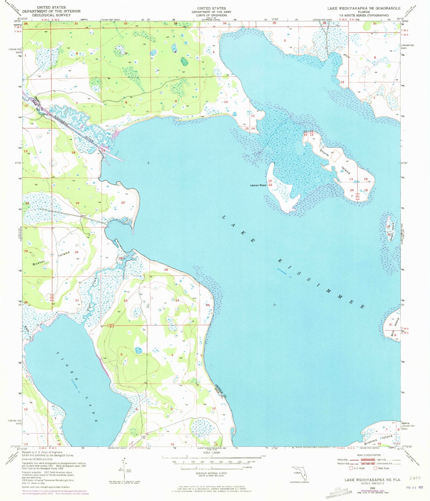
Historical USGS topographic quad map of Lake Weohyakapka NE in the state of Florida. Map scale may vary for some years, but is generally around 1:24,000. Print size is approximately 24" x 27"
This quadrangle is in the following counties: Osceola, Polk.
The map contains contour lines, roads, rivers, towns, and lakes. Printed on high-quality waterproof paper with UV fade-resistant inks, and shipped rolled.
Contains the following named places: Buster Island, Lake Kissimmee, Lemon Point, Rabbit Island, Rosalie Creek, Sturm Island, Thomas Landing Mobile Home Park, Tiger Lake, Tiger Lake Airport