MyTopo
Classic USGS Lake Woodruff Florida 7.5'x7.5' Topo Map
Couldn't load pickup availability
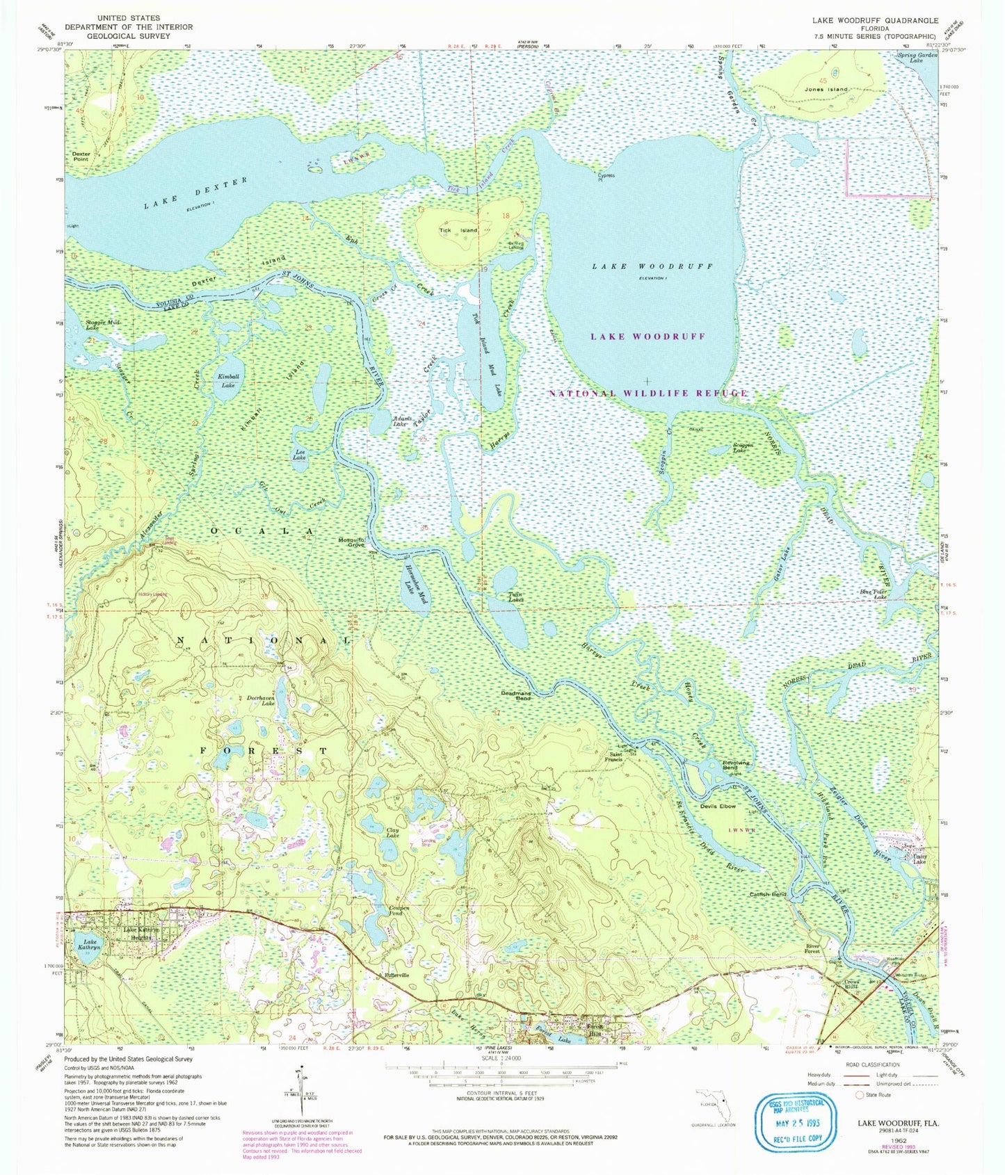
Historical USGS topographic quad map of Lake Woodruff in the state of Florida. Typical map scale is 1:24,000, but may vary for certain years, if available. Print size: 24" x 27"
This quadrangle is in the following counties: Lake, Volusia.
The map contains contour lines, roads, rivers, towns, and lakes. Printed on high-quality waterproof paper with UV fade-resistant inks, and shipped rolled.
Contains the following named places: Tick Island Creek, Cypress Branch, Alexander Springs Creek, Adams Lake, Bennett Landing, Blue Peter Lake, Catfish Bend, Clay Lake, Cowpen Pond, Cross Creek, Crows Bluff, Cypress Point, Daisy Lake, Deadmans Bend, Deerhaven Lake, Devils Elbow, Dexter Island, Dexter Point, Lake Dexter, Eph Creek, Forest Hills, Forest Lake, Fullerville, Gator Lake, Get Out Creek, Harrys Creek, Lake Heron, Highland Park Run, Honey Creek, Horseshoe Mud Lake, Jones Island, Lake Kathryn, Kimball Island, Kimball Lake, Lake Kathryn Heights, Lake Woodruff National Wildlife Refuge, Lee Lake, Mosquito Grove, Norris Dead River, Revolving Bend, River Forest, Saint Francis, Saint Francis Dead River, Scoggin Creek, Scoggin Lake, Spring Garden Creek, Stagger Creek, Taylor Creek, Tick Island, Tick Island Mud Lake, Twin Lakes, Whitehair Bridge, Lake Woodruff, Zeigler Dead River, Domingo Fernandez Grant, Central Baptist Church Youth Camp, Deerhaven Campgrounds, Shell Landing, Hickory Landing, Lake Woodruff Wilderness Refuge, River Forest Recreaton Site, Alexander Springs Wilderness, Antonio Huertas Grant, Hermitage Point, Deep Woods Ranch Airport, Lake Kathryn, Lake Woodruff Wilderness, Lake Kathryn Census Designated Place, Lake Mack-Forest Hills Census Designated Place, North Shell Fish Camp Marina, Pier 44 Marina


