MyTopo
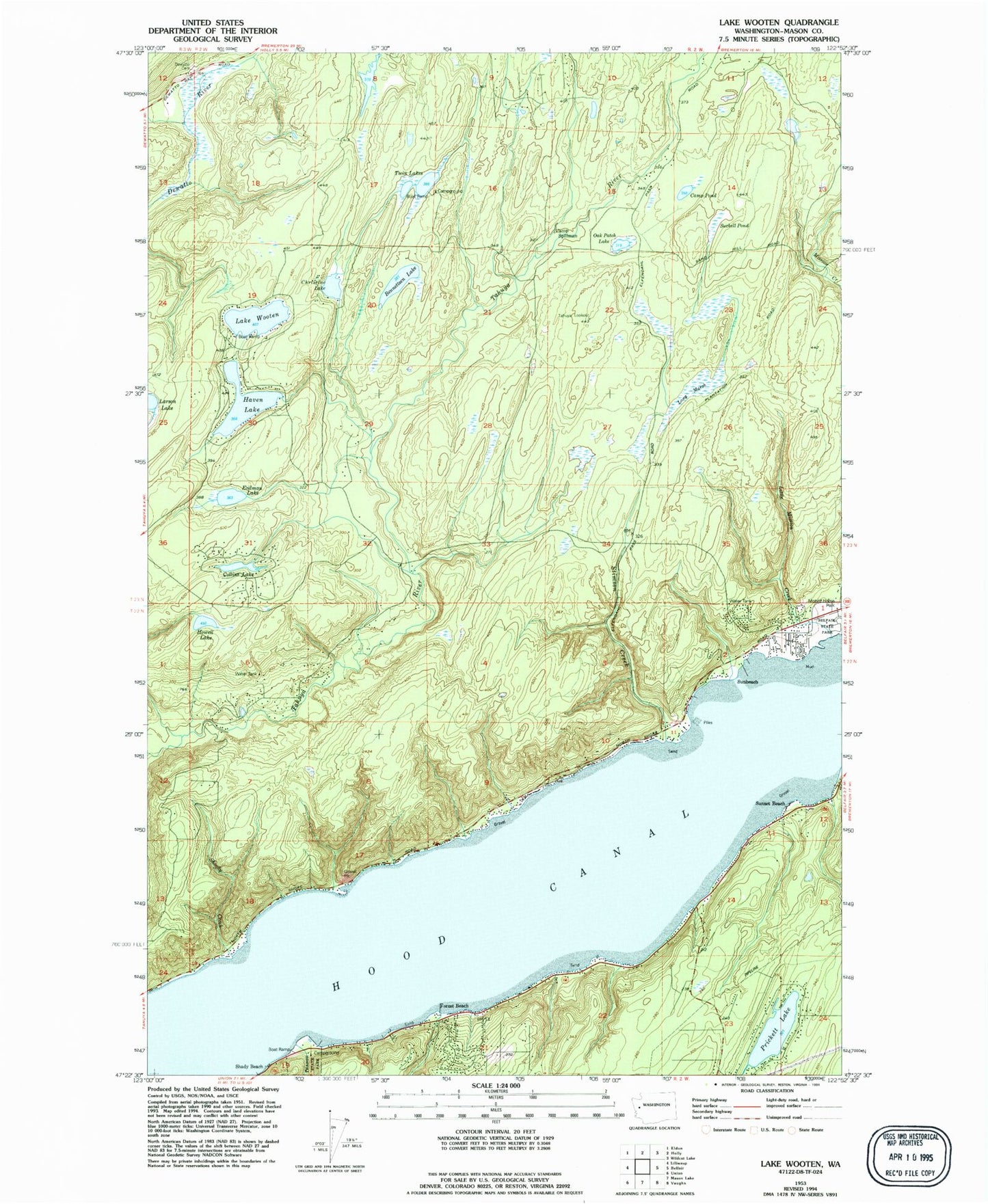
Classic USGS Lake Wooten Washington 7.5'x7.5' Topo Map
Couldn't load pickup availability
Historical USGS topographic quad map of Lake Wooten in the state of Washington. Typical map scale is 1:24,000, but may vary for certain years, if available. Print size: 24" x 27"
This quadrangle is in the following counties: Mason.
The map contains contour lines, roads, rivers, towns, and lakes. Printed on high-quality waterproof paper with UV fade-resistant inks, and shipped rolled.
Contains the following named places: Belfair State Park, Camp Pond, Camp Spillman, Collins Lake, Dewatto Cemetery, Erdman Lake, Forest Beach, Haven Lake, Howell Lake, Little Mission Creek, Long Marsh, Oak Patch Lake, Prickett Lake, Shoofly Creek, Stimson Creek, Suckell Pond, Sunbeach, Sunset Beach, Tahuya Lookout, Twin Lakes, Lake Wooten, Christine Lake, Christine Lake Dam, Bennettsen Lake Dam, Bennettsen Lake, Tahuya Division (historical), Belfair-Tahuya Division, North Mason Regional Fire Authority Station 27, North Mason Regional Fire Authority Station 25, North Mason Regional Fire Authority Station 22, North Mason Regional Fire Authority Station 23