MyTopo
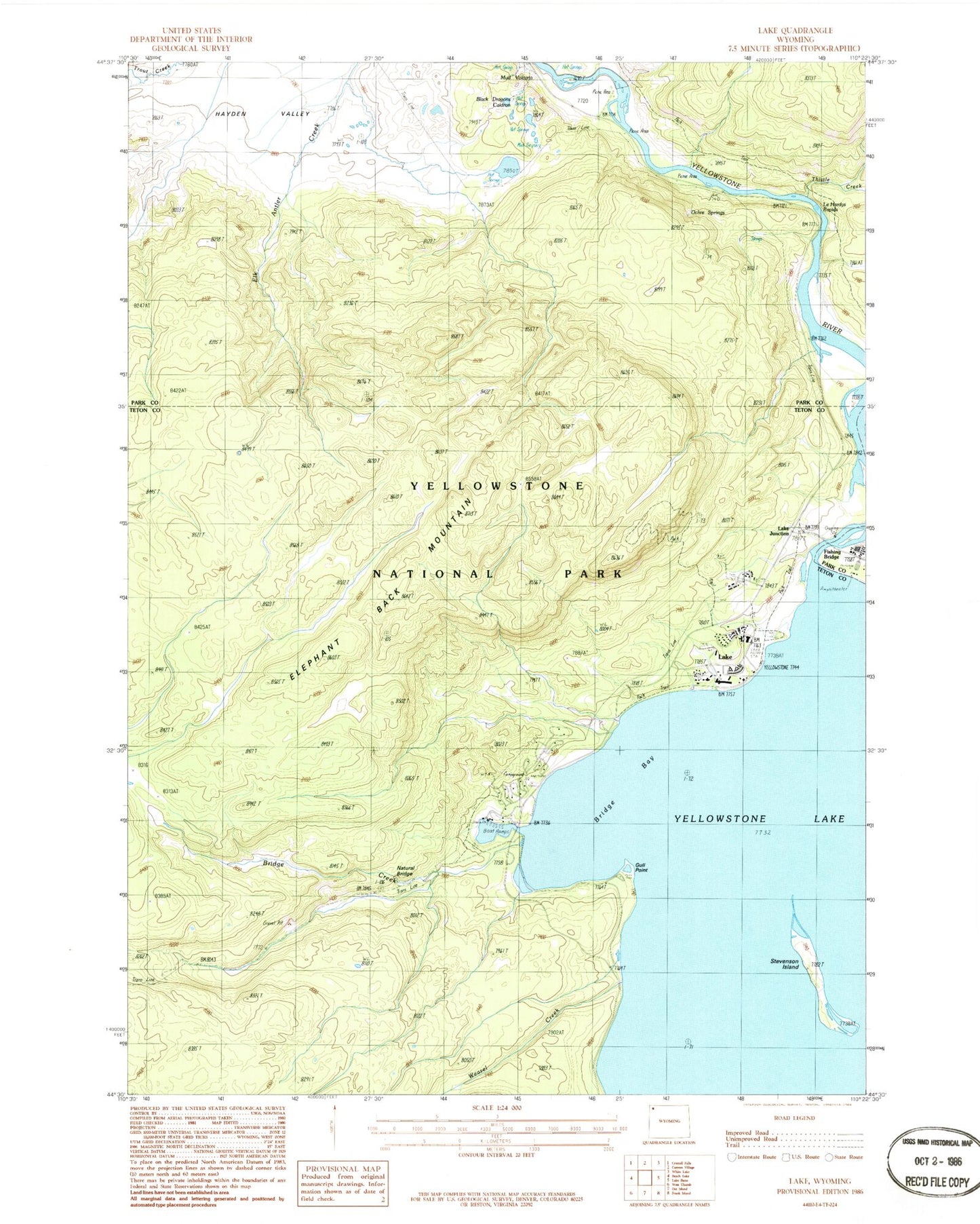
Classic USGS Lake Wyoming 7.5'x7.5' Topo Map
Couldn't load pickup availability
Historical USGS topographic quad map of Lake in the state of Wyoming. Map scale may vary for some years, but is generally around 1:24,000. Print size is approximately 24" x 27"
This quadrangle is in the following counties: Park, Teton.
The map contains contour lines, roads, rivers, towns, and lakes. Printed on high-quality waterproof paper with UV fade-resistant inks, and shipped rolled.
Contains the following named places: Black Dragons Caldron, Bridge Bay, Bridge Creek, Elephant Back Loop Trail, Elephant Back Mountain, Gull Point, Lake, Lake Hotel, Lake Junction, Lake Lodge, Lake Outlet Post Office, Lake Ranger Station, LeHardys Rapids, Mud Geyser, Mud Volcano, Nez Perce Ford, Obsidian Pool, Ochre Springs, Stevenson Island, Thistle Creek, Weasel Creek, Yellowstone National Park Fire Department Lake Station, Yellowstone Natural Bridge


