MyTopo
Classic USGS Lakeside Nebraska 7.5'x7.5' Topo Map
Couldn't load pickup availability
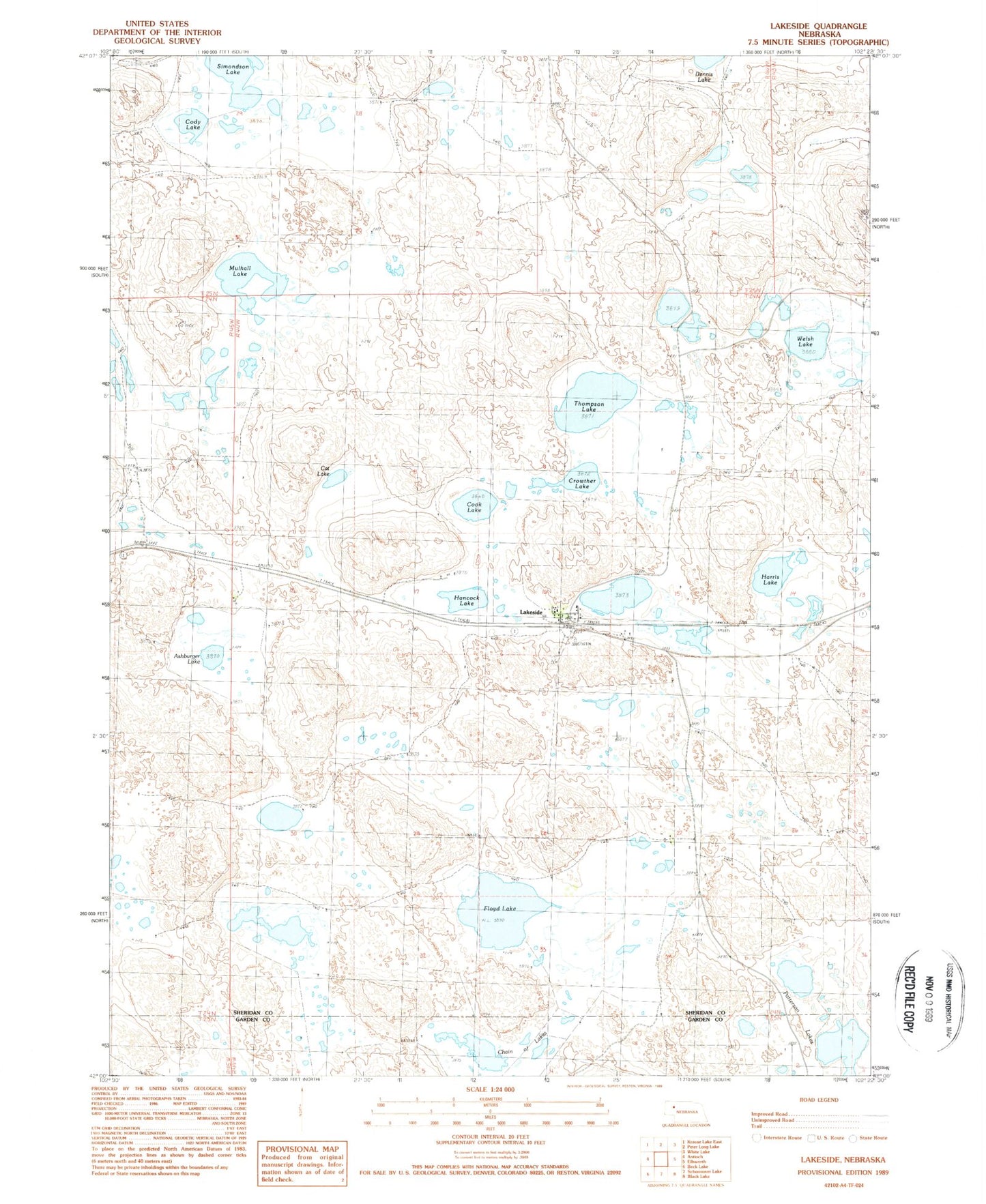
Historical USGS topographic quad map of Lakeside in the state of Nebraska. Map scale may vary for some years, but is generally around 1:24,000. Print size is approximately 24" x 27"
This quadrangle is in the following counties: Garden, Sheridan.
The map contains contour lines, roads, rivers, towns, and lakes. Printed on high-quality waterproof paper with UV fade-resistant inks, and shipped rolled.
Contains the following named places: Ashburger Lake, Cat Lake, Chain of Lakes, Cody Lake, Cook Lake, Crowther Lake, Floyd Lake, Hancock Lake, Harris Lake, Heart of the Hills Rural Fire Department, Lakeside, Lakeside Post Office, Lakeside Public School, McFall Lake, Mulhall Lake, Patterson Lakes, Simondson Lake, Strong Lake, Thompson Lake, Welsh Lake, ZIP Code: 69351