MyTopo
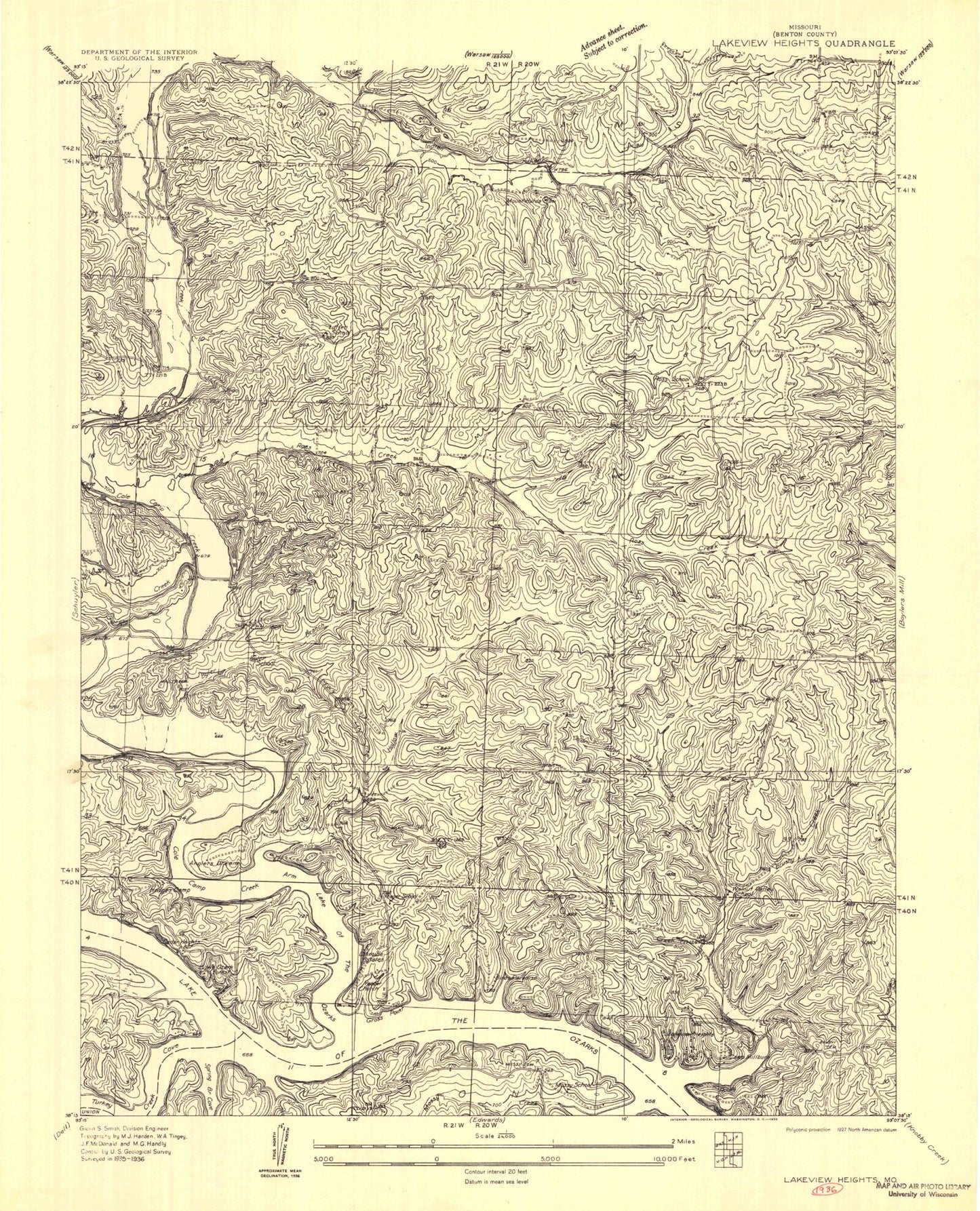
Classic USGS Lakeview Heights Missouri 7.5'x7.5' Topo Map
Couldn't load pickup availability
Historical USGS topographic quad map of Lakeview Heights in the state of Missouri. Map scale may vary for some years, but is generally around 1:24,000. Print size is approximately 24" x 27"
This quadrangle is in the following counties: Benton.
The map contains contour lines, roads, rivers, towns, and lakes. Printed on high-quality waterproof paper with UV fade-resistant inks, and shipped rolled.
Contains the following named places: Boone Branch, Brickley Hollow, Brushy Cemetery, Brushy Chapel, Brushy Creek, Byler Branch, Byler School, Camp Oakledge, Chehaski Cemetery, Cole Camp Creek, Cole Camp Creek Arm, Dillon Spring, Docs Retreat Reservoir, Doctor A J Long Dam, Duran Creek, Edmonson, Edmonson Baptist Cemetery, Edmonson Church, Edmonson School, Failer Cemetery, Flat Rock Creek, Gross Point, Hilda, Junges Lake, Kyle Lake Dam, Lakeview Heights, Lakeview Heights Fire Protection District Headquarters, Lakeview Heights Fire Protection District Station 2, Lakeview Heights Fire Protection District Station 3, Leeder Bluff, Lutjen School, Mossy Cemetery, Mossy Creek, Mossy School, Mount Hulda, Mount Hulda Church, Mount Hulda Lutheran Cemetery, Mount Hulda School, Noel Cemetery, Number 100 Lake, Number 4 Dam, Osage Valley Fire Protection District Station 1 Headquarters, Ozark Tabernacle, Peebles Lake Dam, Ross Creek, Ross School, Sam Allen Hollow, Schaeffer Cemetery, Spring Branch, Spring Branch Cove, Stelling-Junge Lake Dam, Township of Cole, Turkey Creek, Turkey Creek Cove, Walnut Valley School, Wray Lake Dam, Yeager Church, Yeager School, Yeager Union Cemetery


