MyTopo
Classic USGS Lakeview Oregon 7.5'x7.5' Topo Map
Couldn't load pickup availability
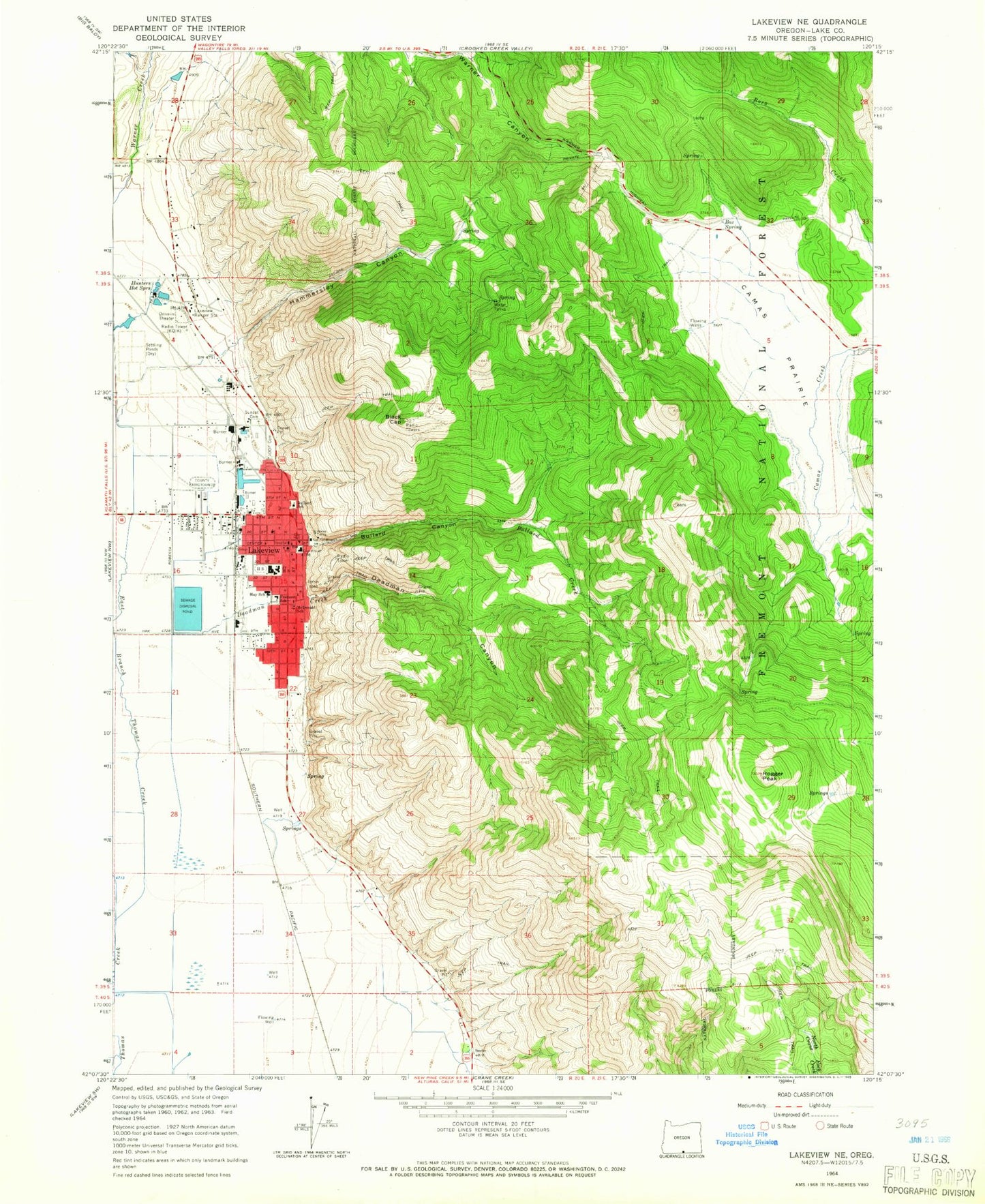
Historical USGS topographic quad map of Lakeview in the state of Oregon. Map scale may vary for some years, but is generally around 1:24,000. Print size is approximately 24" x 27"
This quadrangle is in the following counties: Lake.
The map contains contour lines, roads, rivers, towns, and lakes. Printed on high-quality waterproof paper with UV fade-resistant inks, and shipped rolled.
Contains the following named places: Big Spring, Black Cap, Box Spring, Bullard Canyon, Bullard School, Bureau of Land Management Lakeview District Office, Camas Prairie, Daly Middle School, Deadman Canyon, Deadman Creek, Department of Motor Vehicles Lakeview, Dukes Canyon Creek, Fremont - Hay Elementary School, Fremont Winema National Forest Fire Center, Fremont Winema National Forest Headquarters, Fremont-Winema National Forest Headquarters, Hammersley Canyon, Hammersley Creek, Hammersley Creek Reservoir, Hay School, Hunters Hot Springs, Independent Order of Odd Fellows Cemetery, KQIK-AM, Lake County Courthouse and Circuit Court, Lake County Fairgrounds, Lake County Fairgrounds Arena, Lake County Museum, Lake County Public Health Office, Lake County Public Library Lakeview Main Library, Lake County Search and Rescue, Lake County Sheriff's Department, Lake District Hospital, Lake District Hospital Heliport, Lakeview, Lakeview Fire Department, Lakeview Interagency Fire Center, Lakeview Police Department, Lakeview Post Office, Lakeview Ranger Station, Lakeview Senior High School, Lakeview Town Hall, Lakeview Wildlife Administrative Site, McDonald City Park, McDonald School, Roaring Spring, Rogger Peak, Schminck Memorial Museum, Ski Lodge Spring, Sunset Cemetery, Swimming Pool City Park, Town of Lakeview, Town of Lakeview Emergency Medical Services, Town of Lakeview Public Works Department Shop / Office, Town of Lakeview Sewage Treatment System, Vernon Ranch, Warner Canyon Ski Area


