MyTopo
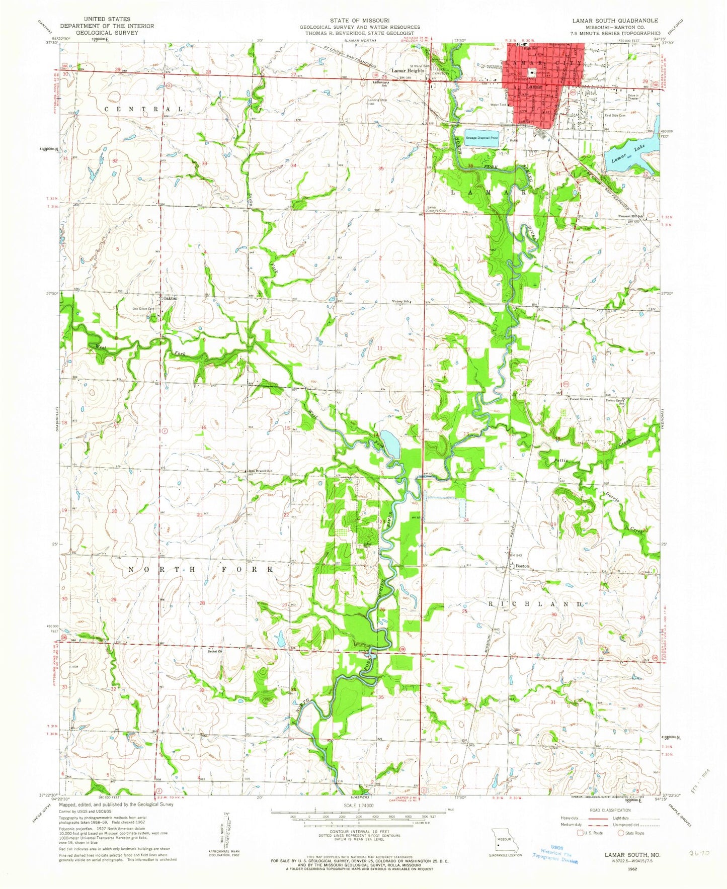
Classic USGS Lamar South Missouri 7.5'x7.5' Topo Map
Couldn't load pickup availability
Historical USGS topographic quad map of Lamar South in the state of Missouri. Map scale may vary for some years, but is generally around 1:24,000. Print size is approximately 24" x 27"
This quadrangle is in the following counties: Barton.
The map contains contour lines, roads, rivers, towns, and lakes. Printed on high-quality waterproof paper with UV fade-resistant inks, and shipped rolled.
Contains the following named places: Barco Drive-In, Barton County Sheriff's Office, Berryhill Lake Dam, Bethel Church, Blue Star School, Boston, Boston School, City of Lamar, City of Lamar Heights, Dicks Fork, Diggs Lake Dam, Dorris Creek, East Elementary School, East Side Cemetery, Esrom, Esrom Post Office, Forest Grove Church, Forest Grove School, Killey Cemetery, Lake Cemetery, Lamar, Lamar City Lake, Lamar Country Club, Lamar Fire Department, Lamar Heights, Lamar Lake, Lamar Lake Dam, Lamar Middle School, Lamar Municipal Airport, Lamar Police Department, Lamar Post Office, Lawless Lake, Ledbetter School, Memory Gardens Cemetery, Number 699 Dam, Number 703 Dam, Oak Grove Cemetery, Oakton, Oakton School, Pettis Creek, Pleasant Hill School, Richards Lake Dam, Rocky Mound School, Rose Branch School, Saint Mary Cemetery, Tidballs Dam, Tidballs Lake, Township of City, Township of Northfork, Twin Oaks Airport, Victory School, West Fork River


