MyTopo
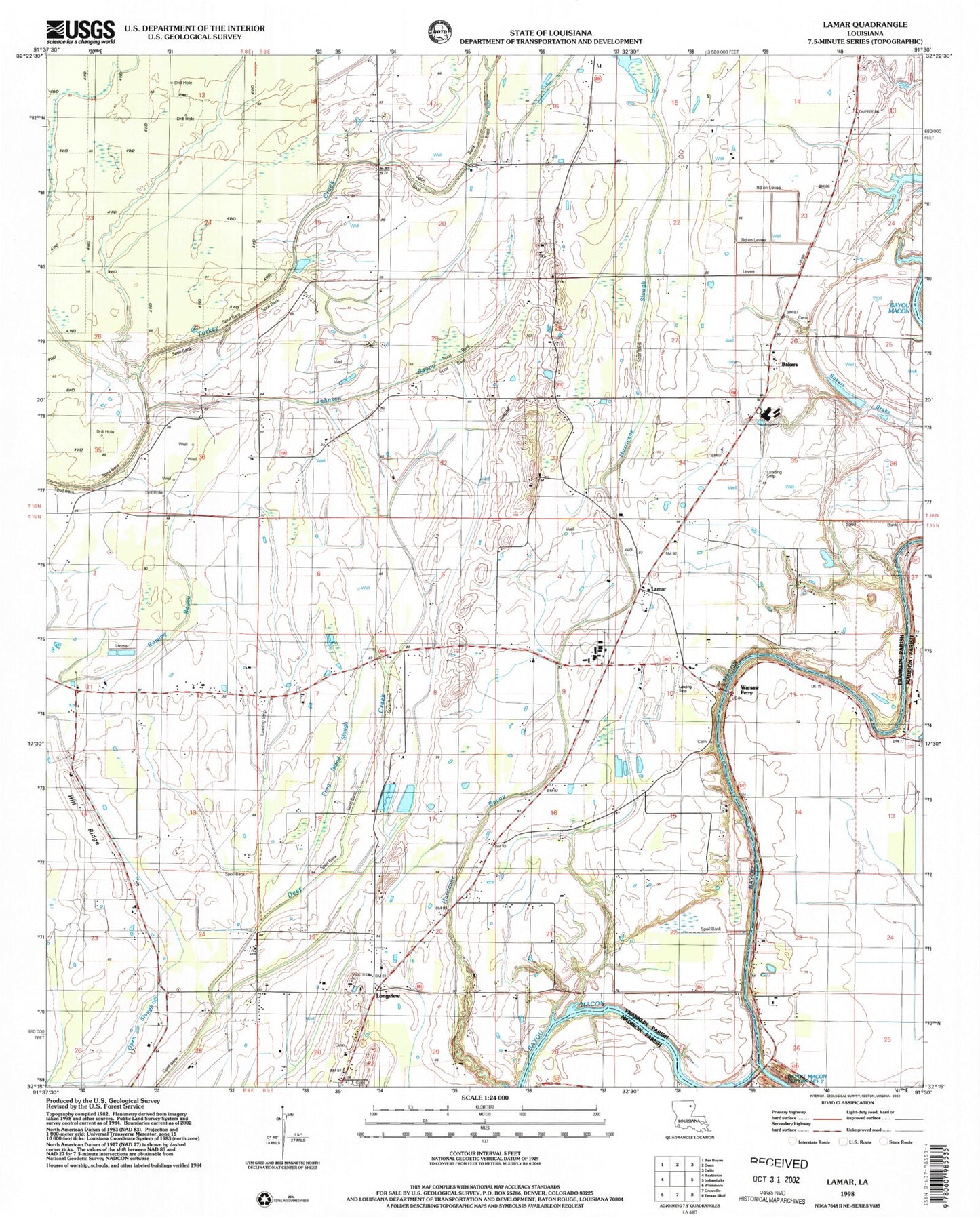
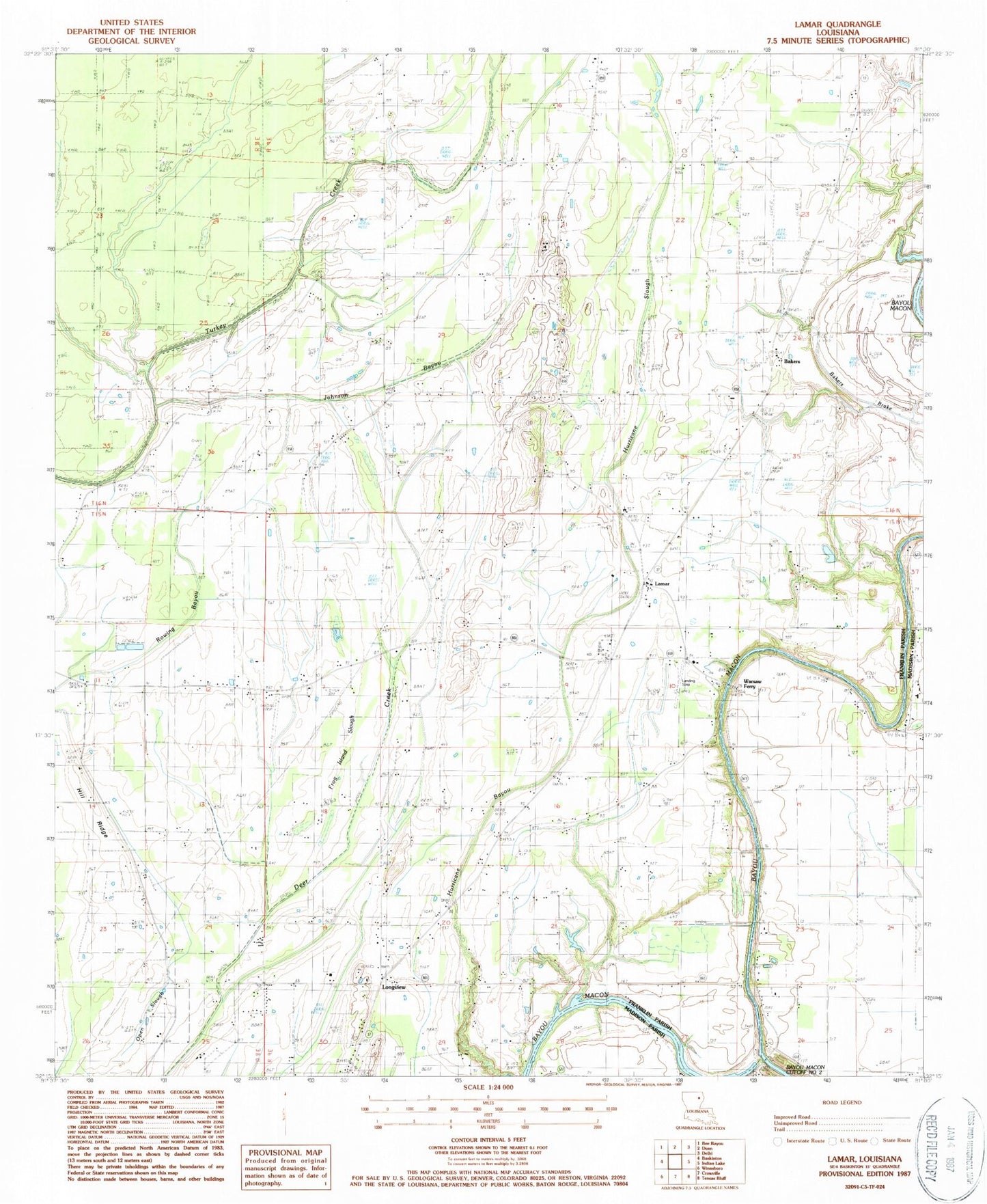
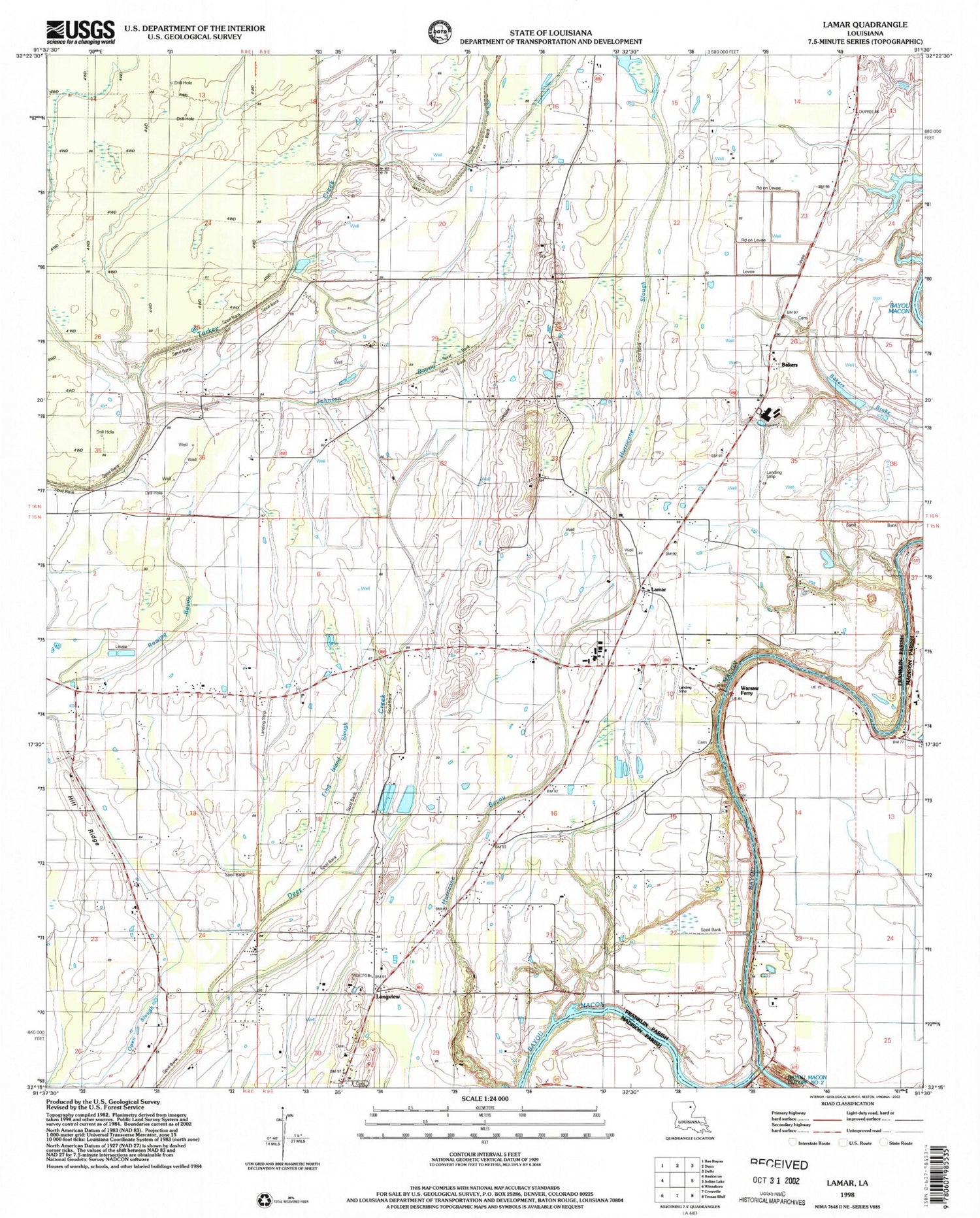
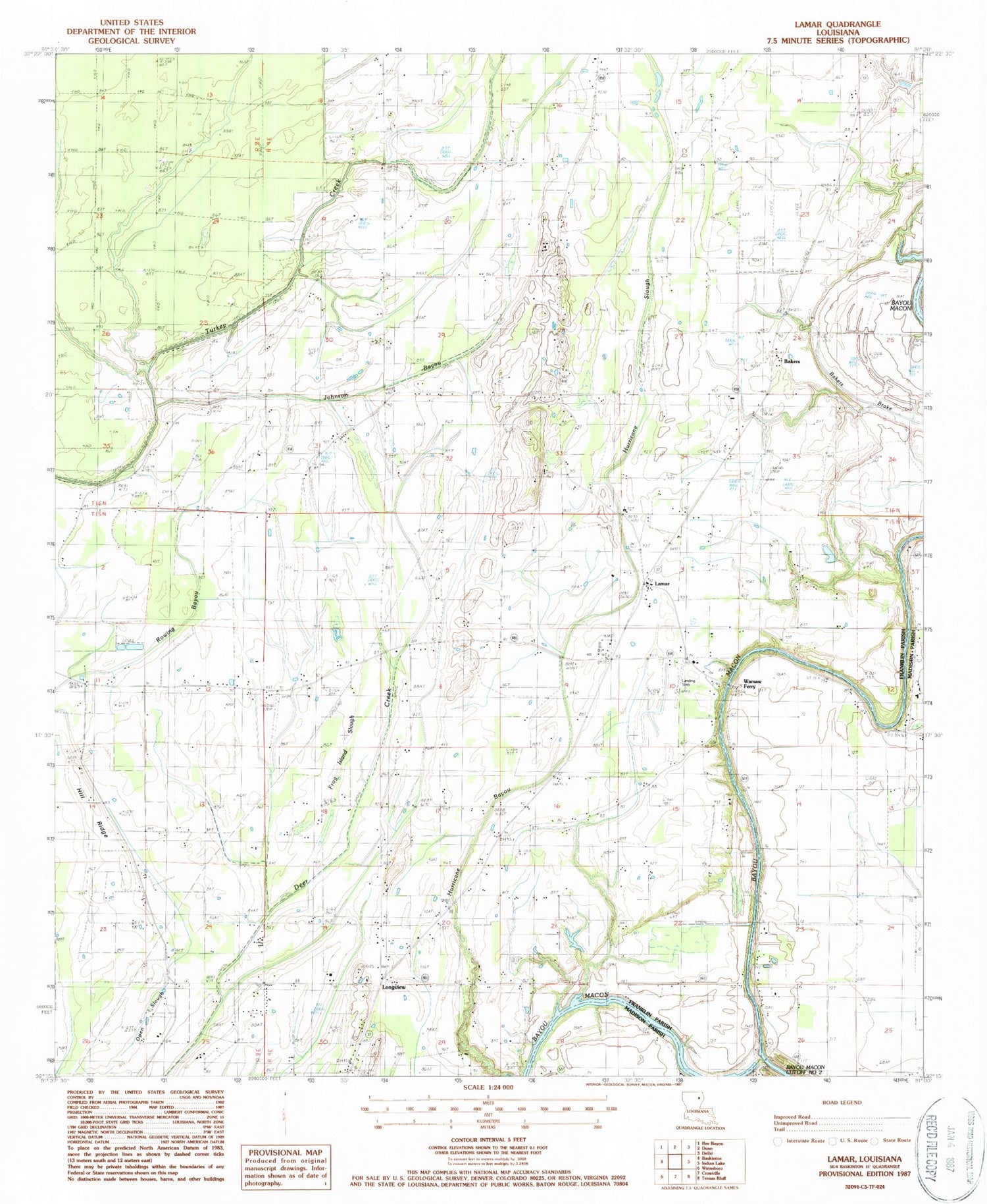
Classic USGS Lamar Louisiana 7.5'x7.5' Topo Map
Couldn't load pickup availability
Historical USGS topographic quad map of Lamar in the state of Louisiana. Typical map scale is 1:24,000, but may vary for certain years, if available. Print size: 24" x 27"
This quadrangle is in the following counties: Franklin, Madison.
The map contains contour lines, roads, rivers, towns, and lakes. Printed on high-quality waterproof paper with UV fade-resistant inks, and shipped rolled.
Contains the following named places: Bakers Brake, Andrews School, Bellview Church, Central High School, Friendship Church, Frog Island Slough, Hill Ridge Church, Hurricane Slough, Johnson Bayou, Lamar Church, Lamar Oil, Martin Slough, Mount Pleasant Church, North Central Church, Pleasant Green Church, Waverly Church, Waverly School, Hill Ridge, Warsaw Ferry, Bakers, Indian Landing, Longview, Sunrise Landing, Warsaw Landing, Friendship Cemetery, Lamar Oil Field, Ward Four, Ward Five, Lamar, Warsaw Baptist Church, Masonic Cemetery, Parish Governing Authority District 4, Oligrow Airport


