MyTopo
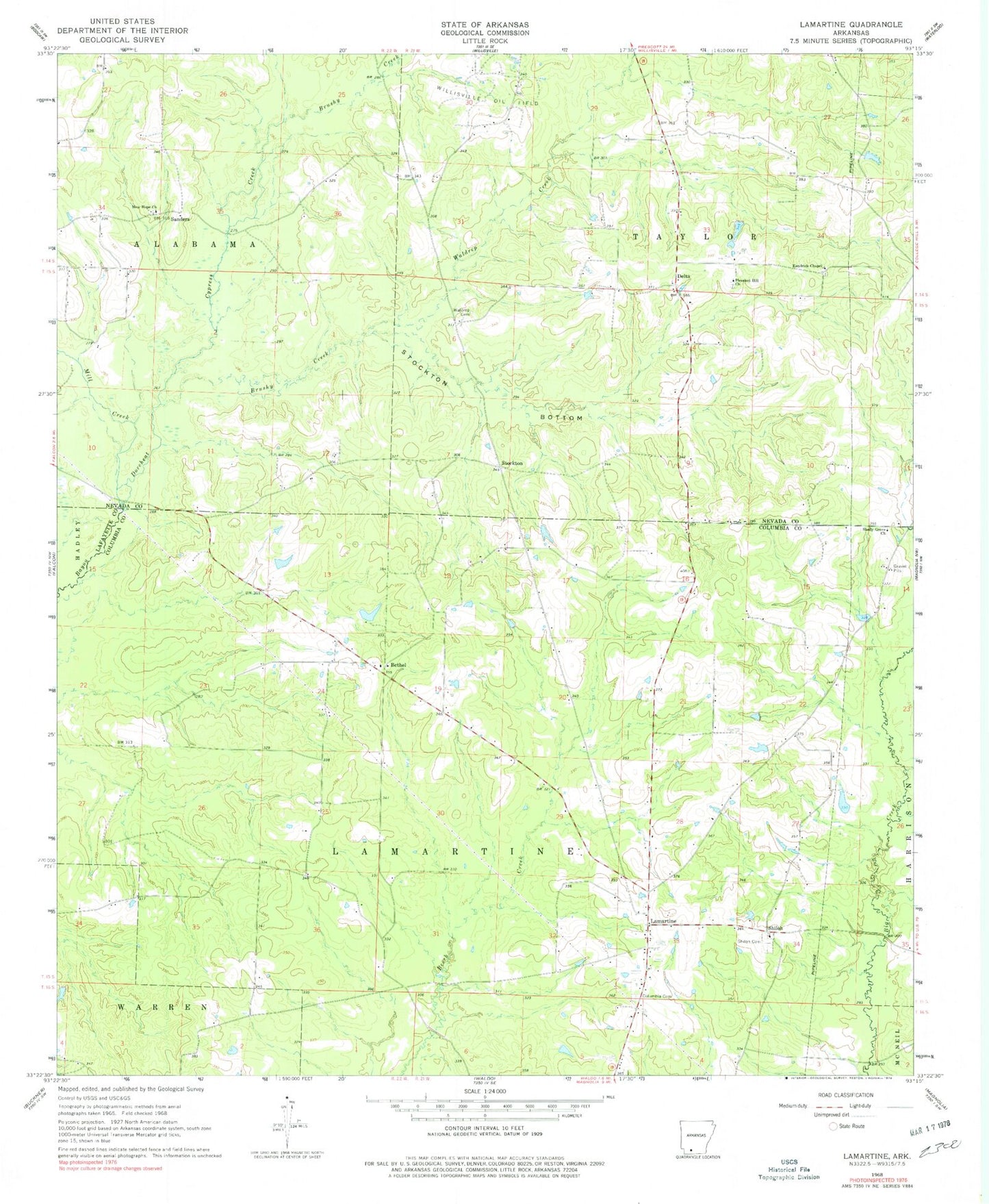
Classic USGS Lamartine Arkansas 7.5'x7.5' Topo Map
Couldn't load pickup availability
Historical USGS topographic quad map of Lamartine in the state of Arkansas. Map scale may vary for some years, but is generally around 1:24,000. Print size is approximately 24" x 27"
This quadrangle is in the following counties: Columbia, Lafayette, Nevada.
The map contains contour lines, roads, rivers, towns, and lakes. Printed on high-quality waterproof paper with UV fade-resistant inks, and shipped rolled.
Contains the following named places: Beech Creek, Bethel, Bethel Church, Bright, Brushy Creek, Columbia Cemetery, Coopers School, Cypress Creek, Delta, Forest Grove School, Hickory Hill Church, Kendrick Chapel, Kendrick Chapel Cemetery, KZHE-FM (Stamps), Lamartine, Mill Creek, New Hope Church, New Hope Church Cemetery, Nichols School, Pleasant Hill Church, Pleasant Hill Church Cemetery, Pleasant Hill School, Rocky Mound School, Sanders, Shady Grove Church, Shiloh, Shiloh Cemetery, Shiloh Church, Stockton, Stockton Bottom, Township of Lamartine, Township of Waldo, Union Chapel, Waldrep Cemetery, Waldrep Creek, Willisville Oil Field, Willow Spring School, ZIP Code: 71770