MyTopo
Classic USGS Lamasco Kentucky 7.5'x7.5' Topo Map
Couldn't load pickup availability
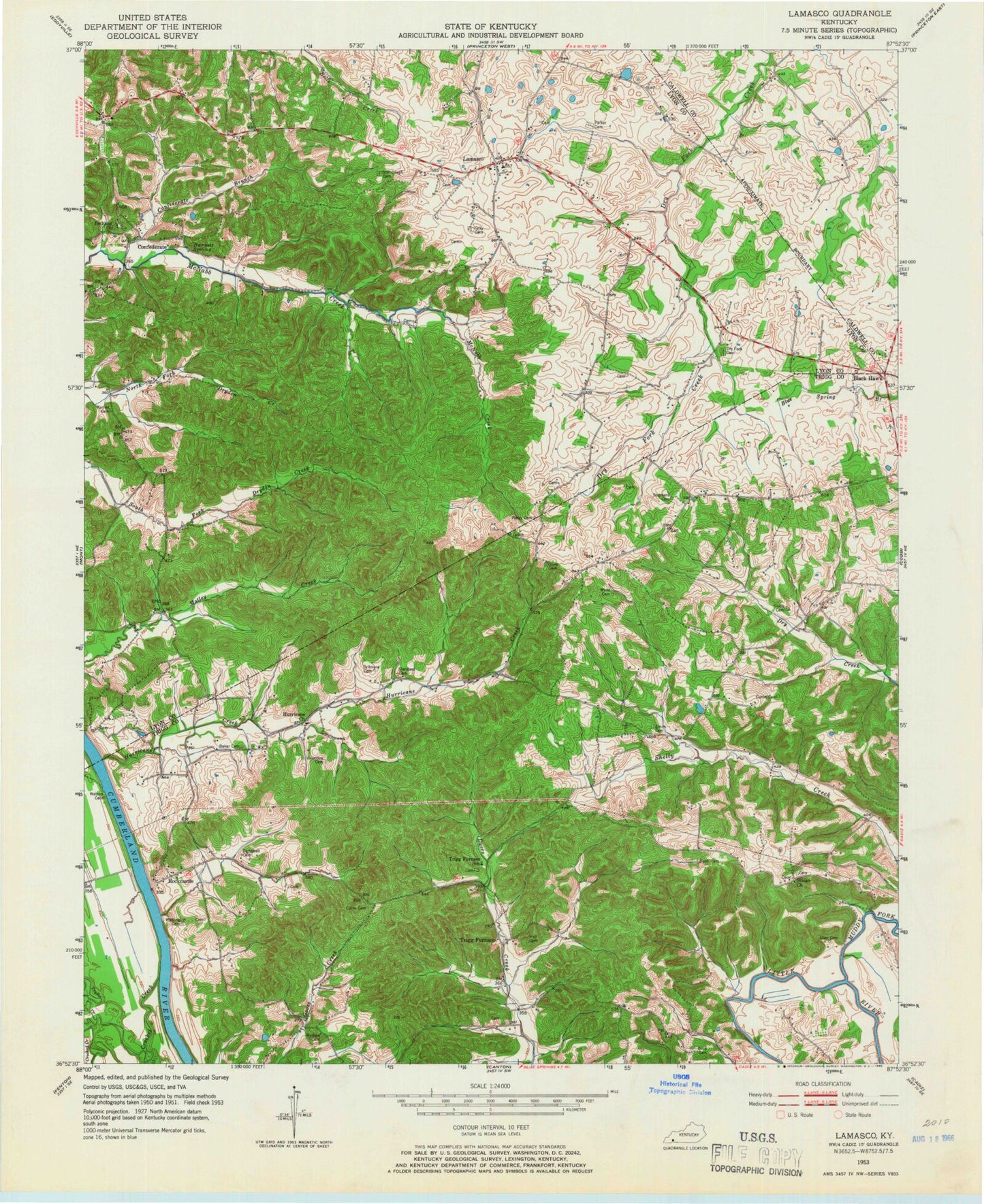
Historical USGS topographic quad map of Lamasco in the state of Kentucky. Map scale may vary for some years, but is generally around 1:24,000. Print size is approximately 24" x 27"
This quadrangle is in the following counties: Caldwell, Lyon, Trigg.
The map contains contour lines, roads, rivers, towns, and lakes. Printed on high-quality waterproof paper with UV fade-resistant inks, and shipped rolled.
Contains the following named places: Allen Cemetery, Baker Cemetery Number 1, Barnett Spring, Bethany Missionary Baptist Church, Black Hawk, Blue Water Estates, Bob Gray Cemetery, Boyd Cemetery, Bush Cemetery, Cannon Spring Public Use Area, Cedar Grove, Collin Cemetery, Confederate, Confederate Branch, Confederate Cemetery, Critmore Cemetery, Curling Cemetery, Dry Fork Cemetery, Dryden Estates, Goose Hollow, Gray Cemetery, Hall Cemetery, Hurricane Church, Hurricane Creek, Lamasco, Marvin Oliver Cemetery, Morris Cemetery, Muddy Fork Little River, Oliver Cemetery Number 2, Parker Cemetery, Prizer Point Public Use Area, Renaldo, Rockcastle, Rockcastle Shores, Rolling Mill, Siloam Church, Siloam Church Cemetery, Sivills Cemetery, Smith Cemetery, Southeast Lyon Division, Standard Cemetery, Steinbaugh Cemetery, Stephens Cemetery, Trigg - Lyon Volunteer Fire Department, Trigg Furnace, Twin Trees, Wallace Cemetery, Wynn Cemetery


