MyTopo
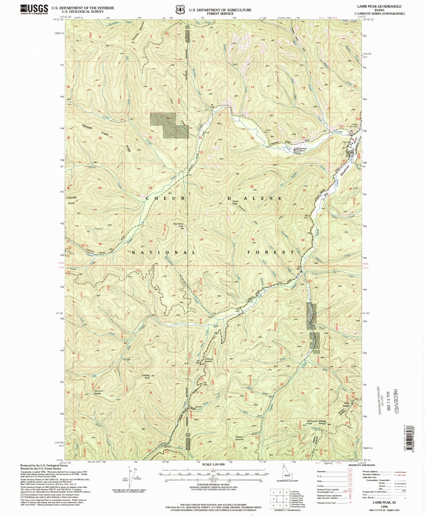
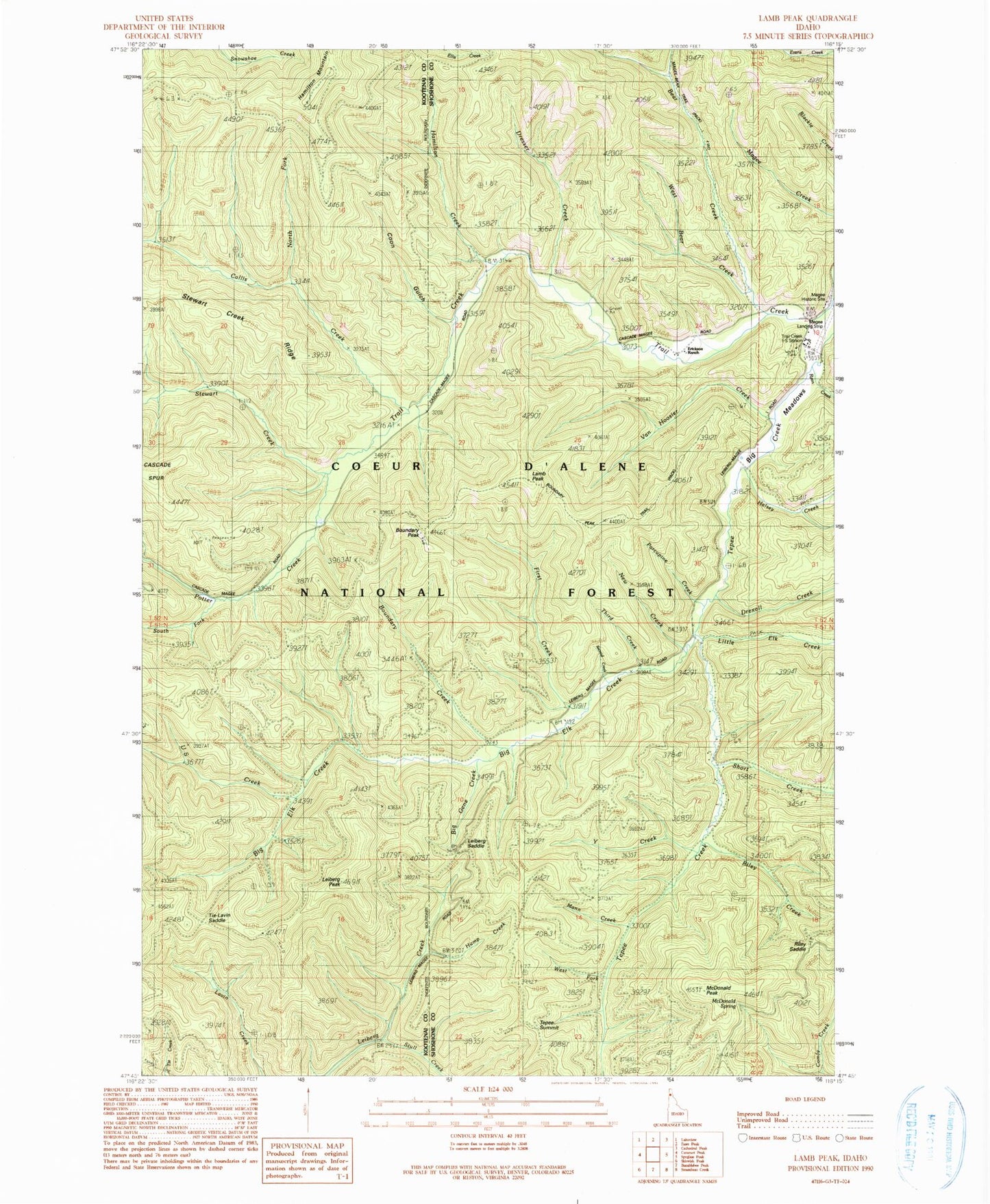
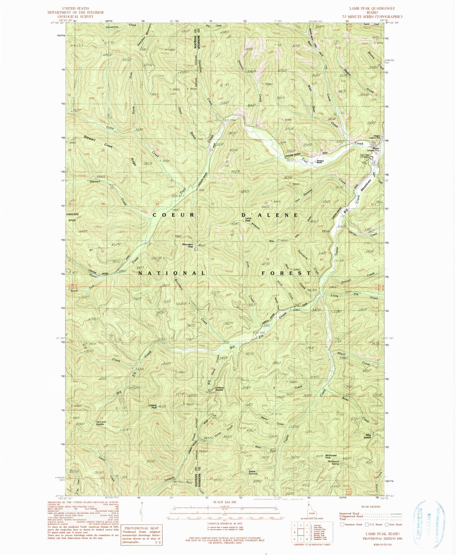
Classic USGS Lamb Peak Idaho 7.5'x7.5' Topo Map
Couldn't load pickup availability
Historical USGS topographic quad map of Lamb Peak in the state of Idaho. Map scale may vary for some years, but is generally around 1:24,000. Print size is approximately 24" x 27"
This quadrangle is in the following counties: Kootenai, Shoshone.
The map contains contour lines, roads, rivers, towns, and lakes. Printed on high-quality waterproof paper with UV fade-resistant inks, and shipped rolled.
Contains the following named places: Bear Creek, Big Elk Creek, Big Gene Creek, Big Meadows, Boundary Creek, Boundary Peak, Boundary Peak Trail, Callis Creek, Coon Gulch, Dresser Creek, Drexall Creek, Erickson Ranch, First Creek, Halsey Creek, Hamilton Creek, Hump Creek, Lamb Peak, Leiberg Peak, Leiberg Saddle, Little Elk Creek, Magee Airport, Magee Historic Site, Mann Creek, McDonald Peak, McDonald Spring, McGee Ranger Station, New Creek, North Fork Callis Creek, Porcupine Creek, Potter Creek, Riley Creek, Riley Saddle, Ryan Creek, Second Creek, Short Creek, South Fork Potter Creek, Stewart Creek, Stull Creek, Tepee Summit, Third Creek, Tie Lavin Saddle, Trail Creek Work Center, U S Creek, Van Hoosier Creek, West Bear Creek, West Fork Tepee Creek, Y Creek