MyTopo
Classic USGS Lambrook Arkansas 7.5'x7.5' Topo Map
Couldn't load pickup availability
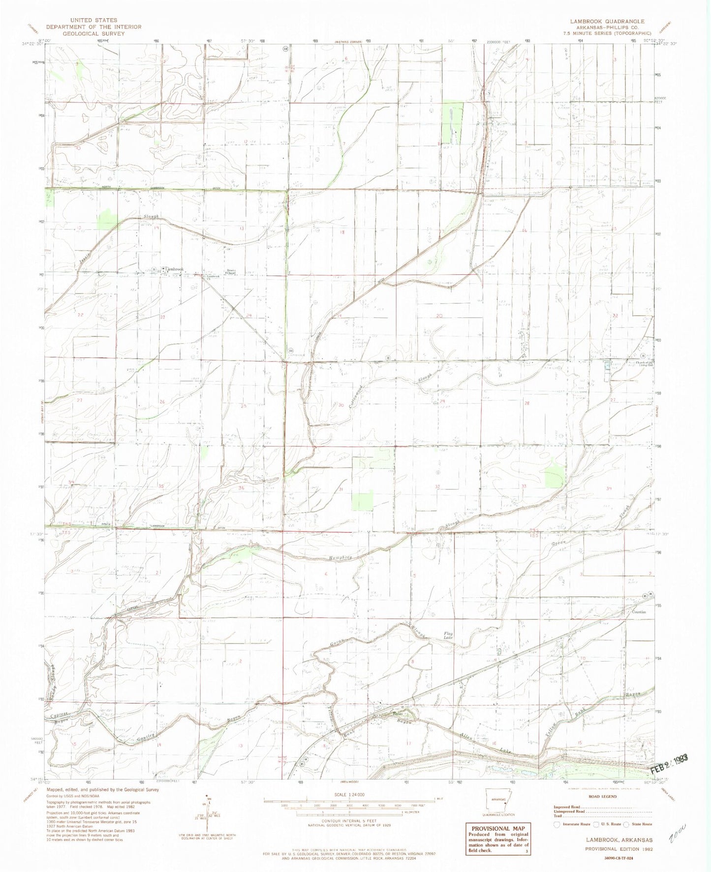
Historical USGS topographic quad map of Lambrook in the state of Arkansas. Map scale may vary for some years, but is generally around 1:24,000. Print size is approximately 24" x 27"
This quadrangle is in the following counties: Phillips.
The map contains contour lines, roads, rivers, towns, and lakes. Printed on high-quality waterproof paper with UV fade-resistant inks, and shipped rolled.
Contains the following named places: Allen Lake, Beach Tree Church, Beach Tree School, Bear Bayou, Bethlehem Church, Brooks Chapel, Church of the Living God, Cottonwood Slough, Countiss, Cypress Ditch, Flag Lake, Gauzley Bayou, Govan Slough, Gumwood Church, Humphrey Slough, Lambrook, Lambrook Baptist Church, Lambrook Post Office, Mary Spur, Morning Star Church, Ratio, Ratio School, Township of Tappan, Yellow Bank Bayou, Zion Hill Church, ZIP Code: 72389