MyTopo
Classic USGS Lambs Corner North Carolina 7.5'x7.5' Topo Map
Regular price
$16.95
Regular price
Sale price
$16.95
Unit price
per
Couldn't load pickup availability
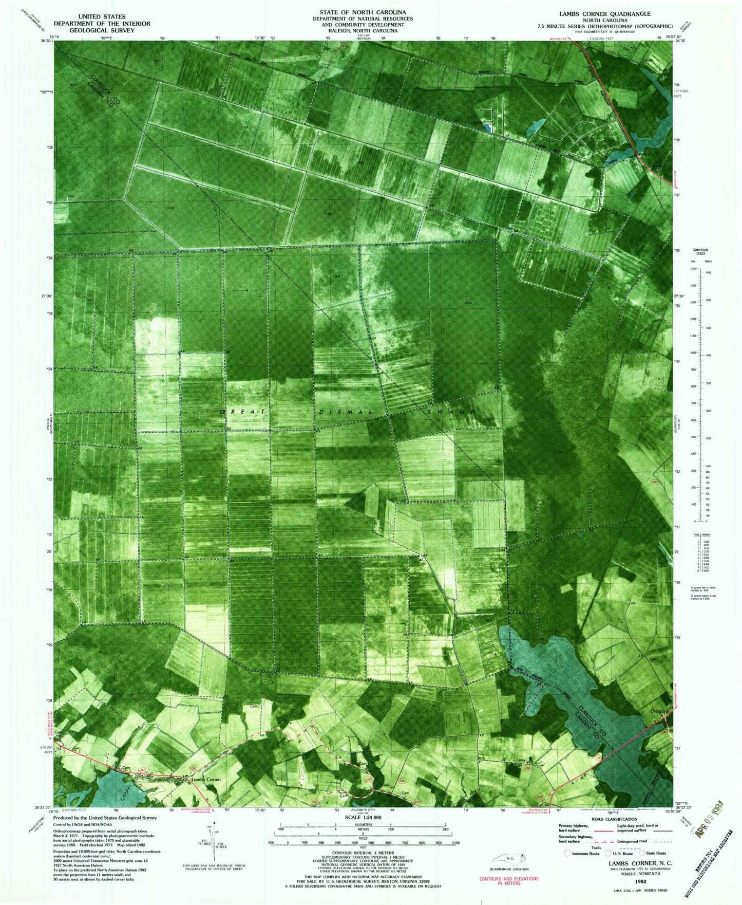
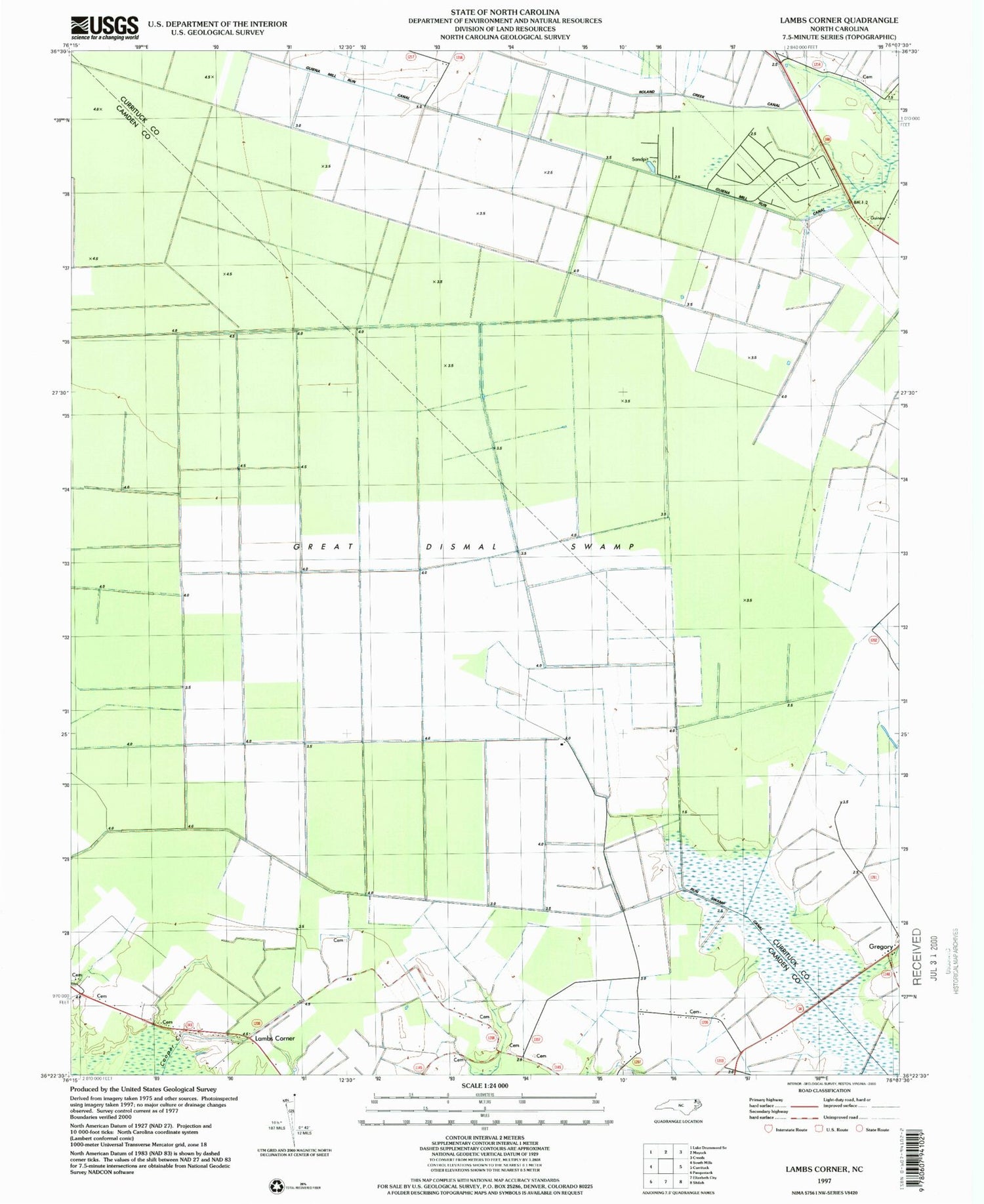
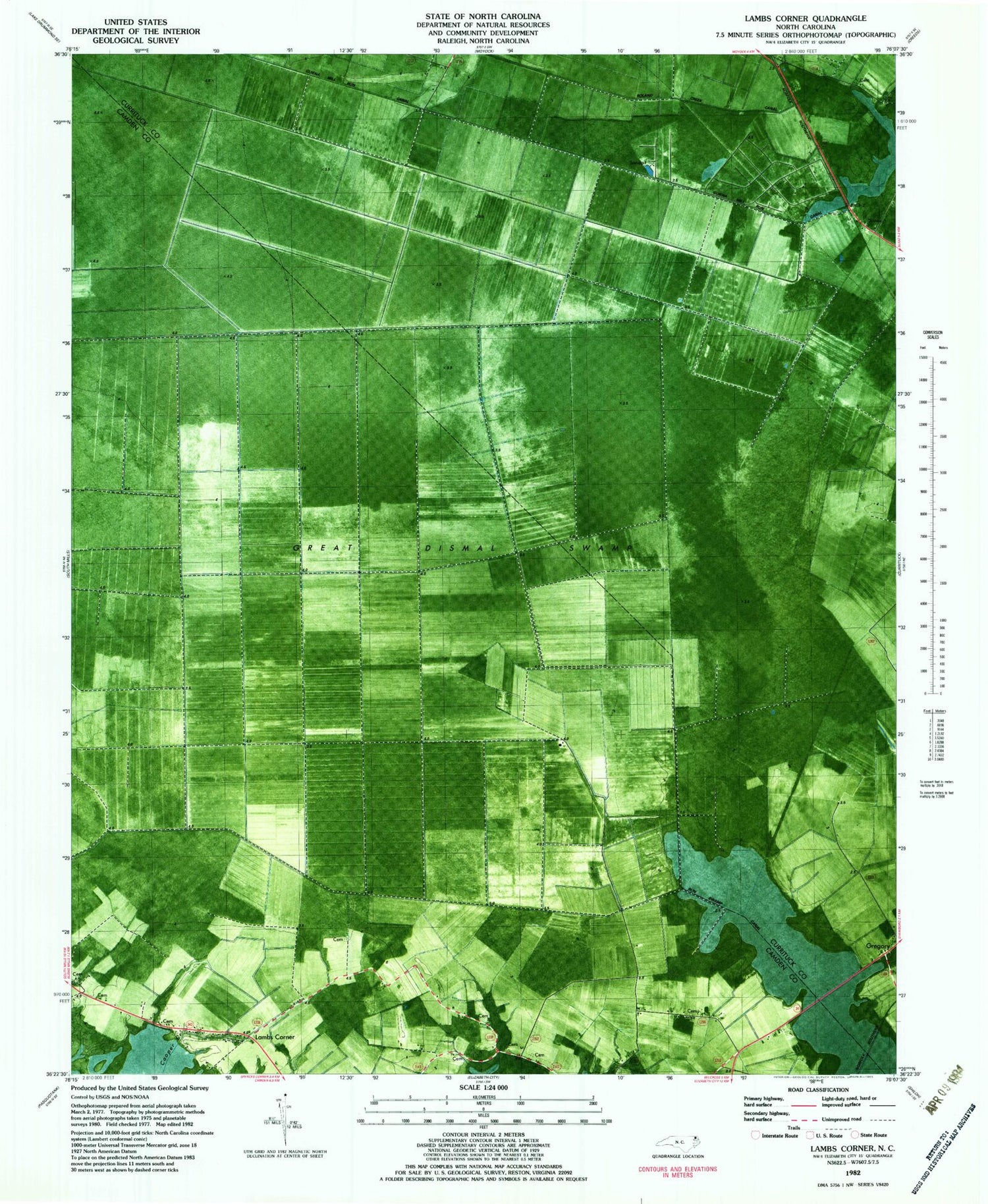
Historical USGS topographic quad map of Lambs Corner in the state of North Carolina. Map scale may vary for some years, but is generally around 1:24,000. Print size is approximately 24" x 27"
This quadrangle is in the following counties: Camden, Currituck.
The map contains contour lines, roads, rivers, towns, and lakes. Printed on high-quality waterproof paper with UV fade-resistant inks, and shipped rolled.
Contains the following named places: Cedar Branch Baptist Church Cemetery, Guinea, Guinea Mill Run Canal, Lambs Corner, Lateral A Canal, NC61 Airport, Roland Creek Canal, ZIP Code: 27958