MyTopo
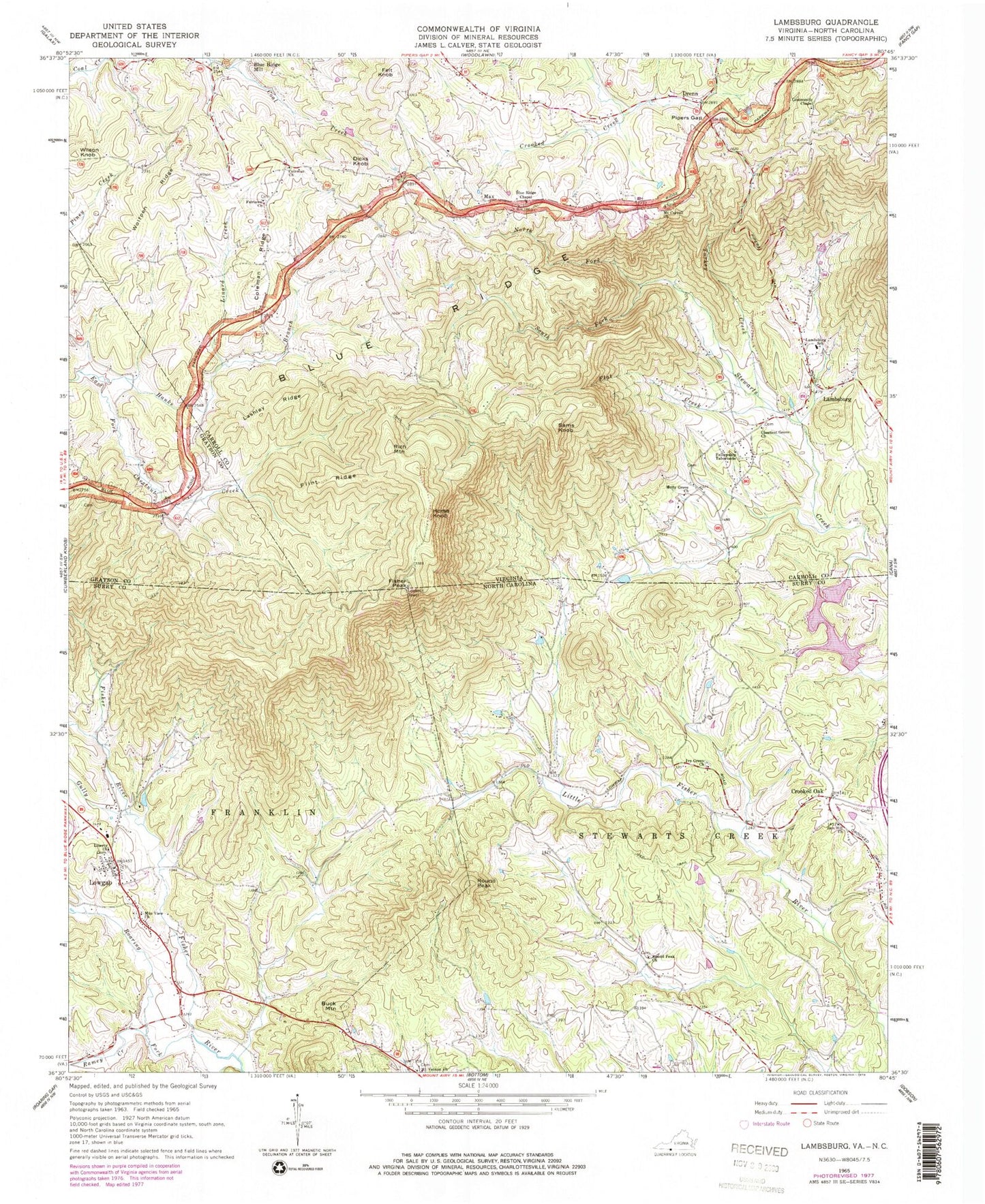
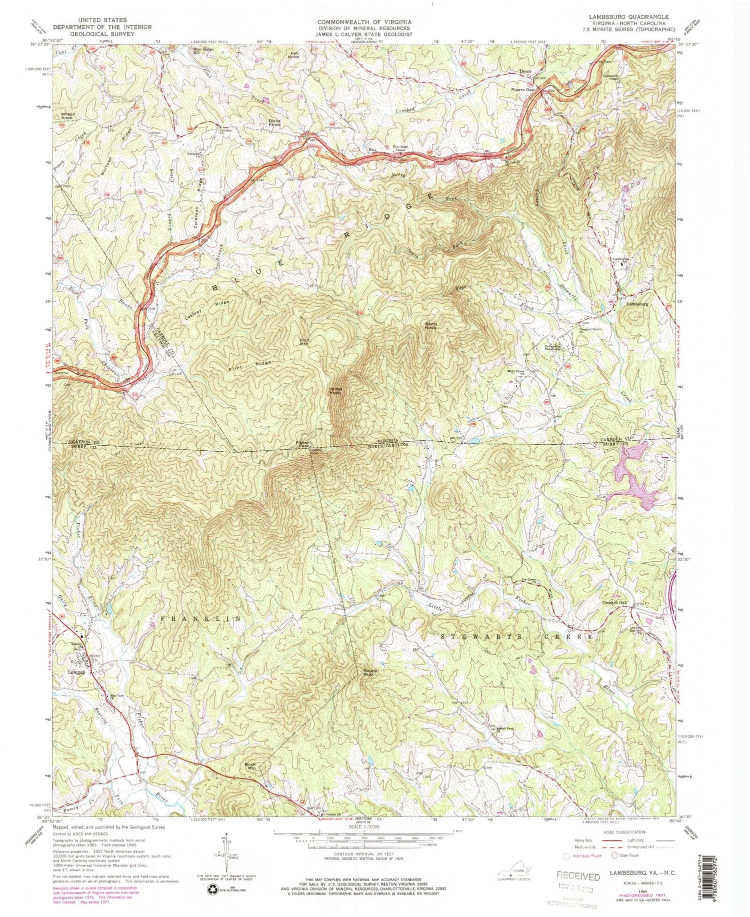
Classic USGS Lambsburg Virginia 7.5'x7.5' Topo Map
Couldn't load pickup availability
Historical USGS topographic quad map of Lambsburg in the states of Virginia, North Carolina. Typical map scale is 1:24,000, but may vary for certain years, if available. Print size: 24" x 27"
This quadrangle is in the following counties: Carroll, Grayson, Surry.
The map contains contour lines, roads, rivers, towns, and lakes. Printed on high-quality waterproof paper with UV fade-resistant inks, and shipped rolled.
Contains the following named places: Fisher Peak, Blue Ridge Chapel, Blue Ridge Mill, Chestnut Grove Church, Coleman Church, Coleman Ridge, Dicks Knob, Fairlawn Church, Fellowship Tabernacle, Flat Creek, Flint Ridge, Hanks Branch, Holly Grove Church, Horse Knob, Lambsburg Elementary School, Lashley Ridge, Linard Creek, Max, Mount Carroll Church, North Fork Stewarts Creek, Pipers Gap, South Fork Stewarts Creek, Turkey Creek, Wolfpen Ridge, Drenn, Felt Knob, Lambsburg, Rich Mountain, Sams Knob, Wilson Knob, Blue Ridge School (historical), WPRH-FM (Galax), WBRF-FM (Galax), Blue Ridge Chapel Cemetery, Blue Ridge School (historical), Chestnut Grove Cemetery, Coleman Cemetery, Coleman School (historical), Edwards - Upchurch Cemetery, Fairlawn Cemetery, Fellowship Tabernacle Cemetery, Holly Grove School (historical), Mount Carroll Cemetery, Parish Cemetery, Wards Garden, Lambsburg Rescue Squad, Lambsburg Post Office, Buck Mountain, Crooked Oak, Gully Creek, Ivy Green Baptist Church, Liberty Church, Mount Vernon Church, Mount View Church, Ramey Creek, Roaring Fork, Round Peak Church, Zion Hill Primitive Baptist Church, Lowgap, Fishers Peak Historical Site, Low Gap Elementary School, Peter King, Fulcher Mountain, Round Peak, Auberry Creek, Camp Branch, Ivy Green Cemetery, Mountain View Baptist Church, Round Peak, Zion Hill Cemetery, Zion Hill School (historical), Lowgap Census Designated Place, Skull Camp Volunteer Fire Department Station 72A, Lowgap Post Office


