MyTopo
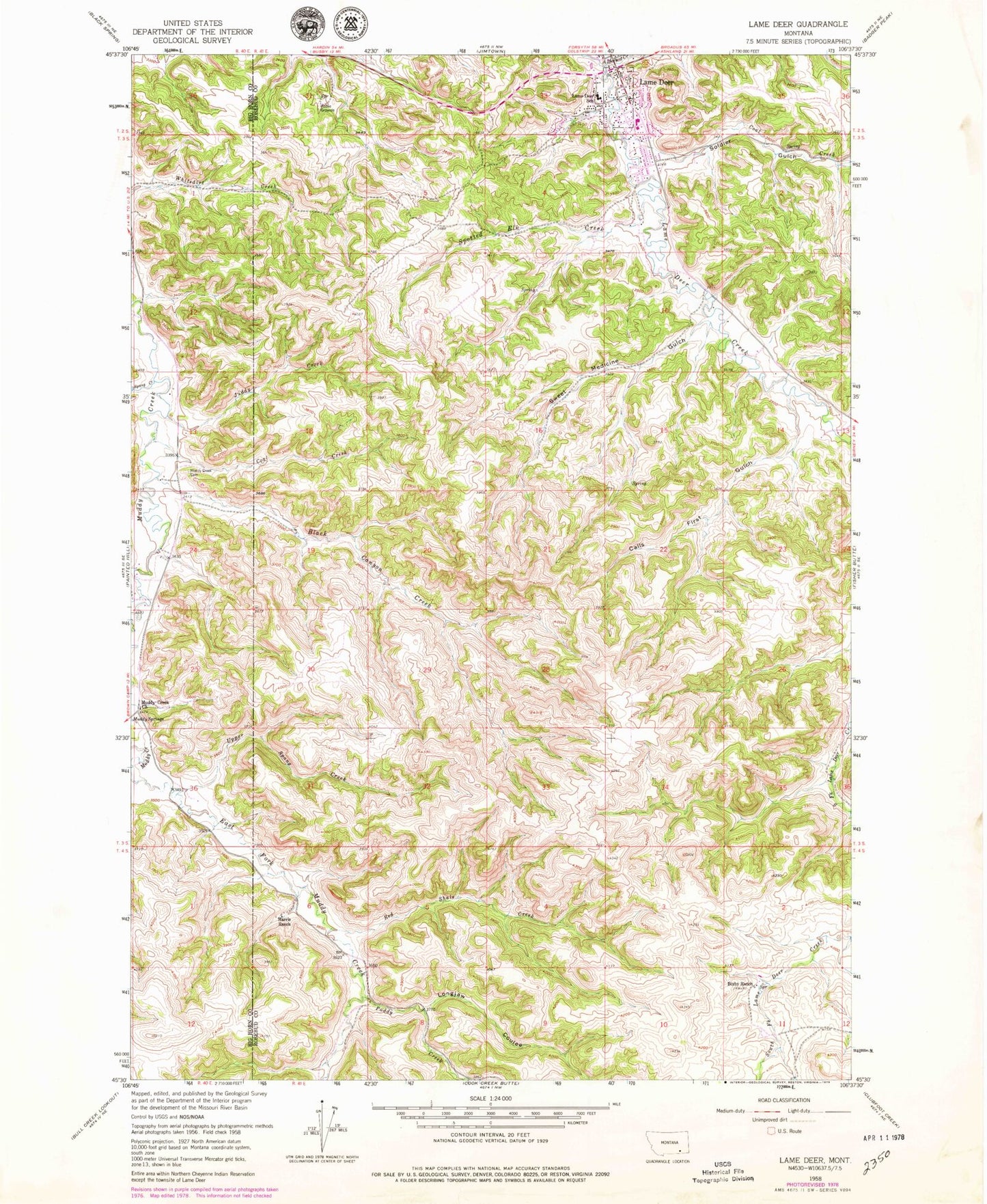
Classic USGS Lame Deer Montana 7.5'x7.5' Topo Map
Couldn't load pickup availability
Historical USGS topographic quad map of Lame Deer in the state of Montana. Map scale may vary for some years, but is generally around 1:24,000. Print size is approximately 24" x 27"
This quadrangle is in the following counties: Big Horn, Rosebud.
The map contains contour lines, roads, rivers, towns, and lakes. Printed on high-quality waterproof paper with UV fade-resistant inks, and shipped rolled.
Contains the following named places: 02S41E31ACB_01 Well, 02S41E33A___01 Well, 02S41E33DAA_01 Well, 02S41E34B___01 Well, 03S41E02BAD_01 Well, 03S41E10ABD_01 Well, 03S45E27AAAA01 Well, 03S45E27ACBB01 Well, 03S45E27ACBC01 Well, 03S45E27ACBC02 Well, 03S45E27ACBD01 Well, 03S46E17AABA01 Spring, 04S41E06CAB_01 Well, 04S41E06DDC_01 Well, 59043, Alderson Creek, Bixby Ranch, Black Canyon Creek, Blessed Sacrament Catholic Church, Calls First Gulch, Circle of Life Lutheran Church, Coal Creek, Harris Ranch, Juddy Creek, Lame Deer, Lame Deer Catholic Church, Lame Deer Elementary School, Lame Deer Post Office, Little Muddy Battlefield, Longjaw Coulee, Morning Star Baptist Church, Muddy Creek Cemetery, Muddy Creek Church, Muddy Creek School, Northern Cheyenne Indian Reservation, Northern Cheyenne Volunteer Fire Department, Paddy Creek, Petter Memorial Mennonite Church, Powell Creek, Red Shale Creek, Soldier Gulch, Spang Creek, Spotted Elk Creek, Sweet Medicine Gulch, The Church of Jesus Christ of Latter Day Saints, Upper Spang Creek


