MyTopo
Classic USGS Lamesa South Texas 7.5'x7.5' Topo Map
Couldn't load pickup availability
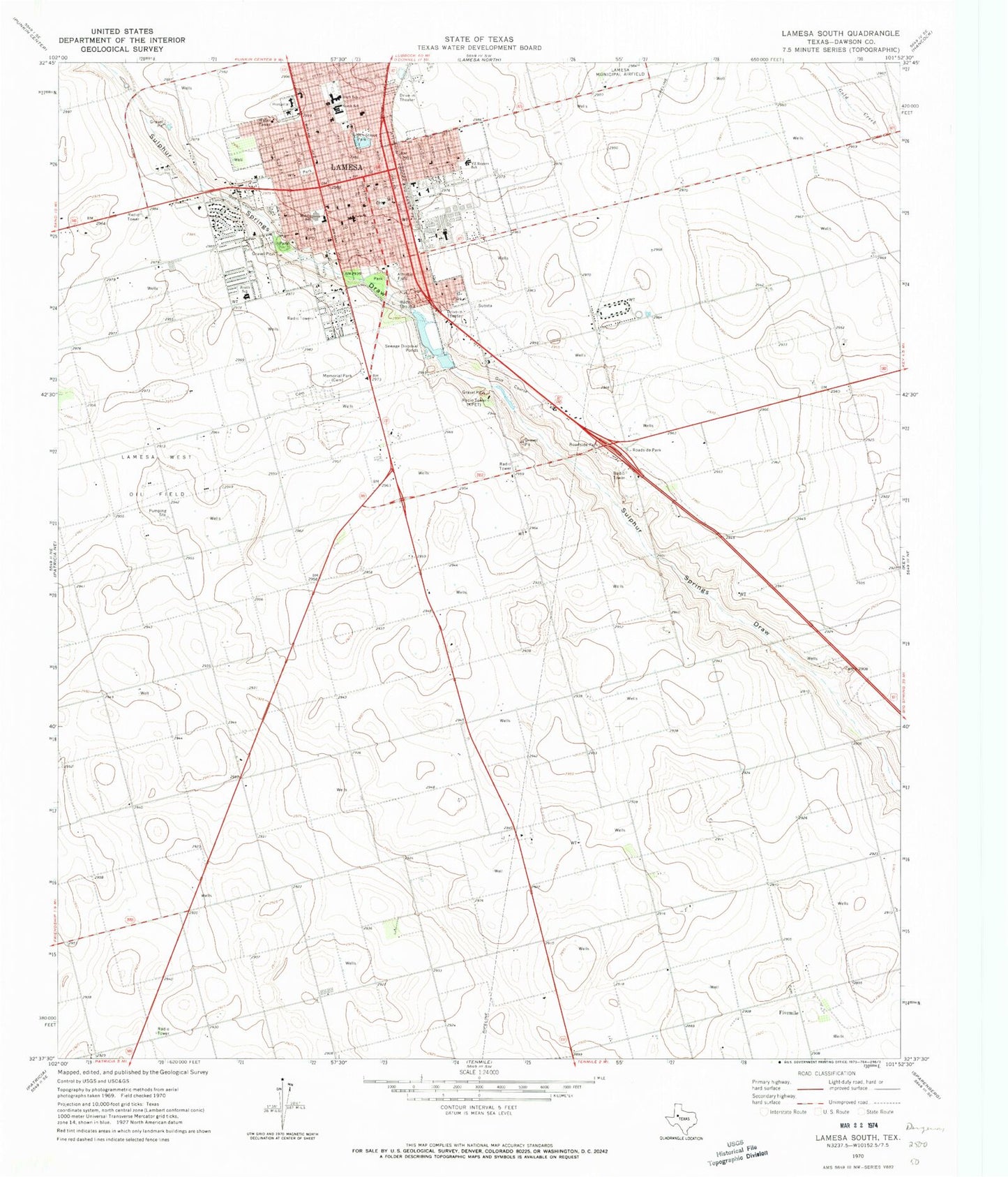
Historical USGS topographic quad map of Lamesa South in the state of Texas. Map scale may vary for some years, but is generally around 1:24,000. Print size is approximately 24" x 27"
This quadrangle is in the following counties: Dawson.
The map contains contour lines, roads, rivers, towns, and lakes. Printed on high-quality waterproof paper with UV fade-resistant inks, and shipped rolled.
Contains the following named places: City of Lamesa, City of Los Ybanez, Crestview Baptist Church, Dal Paso Museum, Dawson County, Dawson County Cemetery, Dawson County Emergency Medical Services - Hill Corporation, Dawson County Law Enforcement Center, Dawson County Sheriff's Office, First Presbyterian Church, First United Methodist Church, Five Mile Cemetery, Fivemile, Harvest Community Church of Lamesa, KPET-AM (Lamesa), Lamesa, Lamesa Division, Lamesa Fire Department Central Station 1, Lamesa Fire Department North Station 2, Lamesa High School, Lamesa Memorial Park Cemetery, Lamesa Municipal Building, Lamesa Police Department, Lamesa Post Office, Lamesa West Oil Field, Los Ybanez, Los Ybanez Volunteer Fire Department, Medical Arts Hospital, Middle School, Ninth Street Park, North Elementary School, North School, Northside Baptist Church, Pioneer Cemetery, Rogers Elementary School, Saint John Baptist Church, Saint John Episcopal Church, Saint Margaret Mary Catholic Church Convent, Second Baptist Church, South Elementary School, South School, Sunset Baptist Church, Templo Elim Spanish Assembly of God Church, Texas Department of Criminal Justice Preston E Smith Unit, VZ Rogers School


