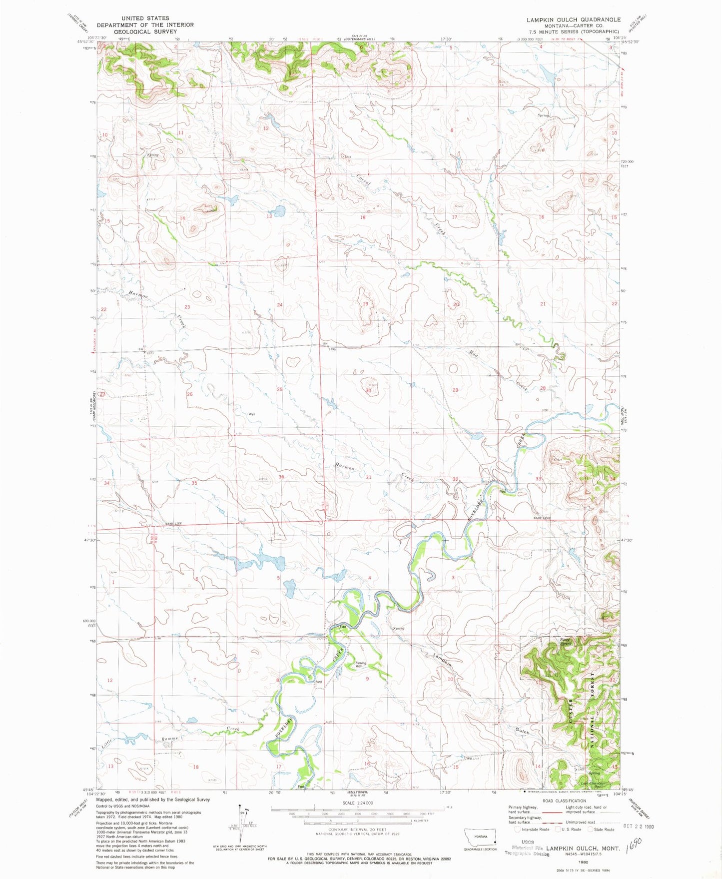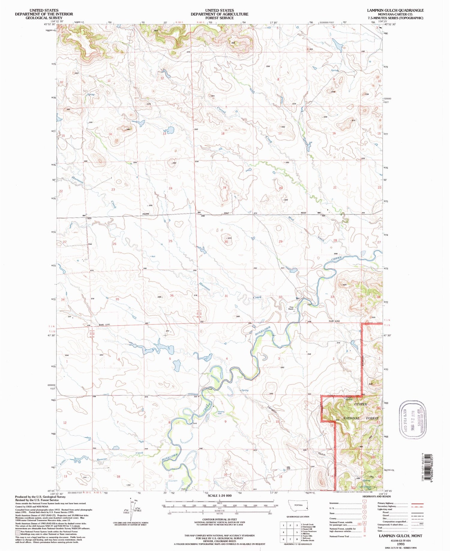

MyTopo
Classic USGS Lampkin Gulch Montana 7.5'x7.5' Topo Map
Regular price
$16.95
Regular price
Sale price
$16.95
Unit price
per
Couldn't load pickup availability
Historical USGS topographic quad map of Lampkin Gulch in the state of Montana. Map scale may vary for some years, but is generally around 1:24,000. Print size is approximately 24" x 27"
This quadrangle is in the following counties: Carter.
The map contains contour lines, roads, rivers, towns, and lakes. Printed on high-quality waterproof paper with UV fade-resistant inks, and shipped rolled.
Contains the following named places: 01N60E19DBDA01 Well, 01N60E22CAB_01 Well, 01S60E04CDDB01 Well, 01S60E08ACBC01 Well, Arpan Spring, Corral Creek, German Number 3 Dam, German Number 9 Dam, Harmon Creek, Lampkin Gulch, Last Chance Spring, Little Ramme Creek, Mud Creek, Neece Spring, Setine Dam, Staats Post Office