MyTopo
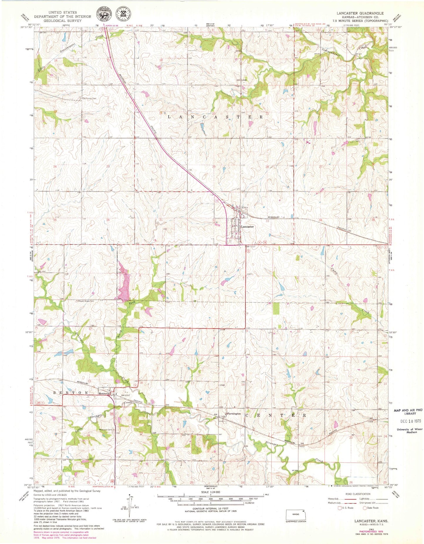
Classic USGS Lancaster Kansas 7.5'x7.5' Topo Map
Couldn't load pickup availability
Historical USGS topographic quad map of Lancaster in the state of Kansas. Map scale may vary for some years, but is generally around 1:24,000. Print size is approximately 24" x 27"
This quadrangle is in the following counties: Atchison.
The map contains contour lines, roads, rivers, towns, and lakes. Printed on high-quality waterproof paper with UV fade-resistant inks, and shipped rolled.
Contains the following named places: Atchison County, Atchison County Fire District 5 - Lancaster, City of Lancaster, Farmington, Jackson Farmers Grain Elevator Number 4, Lancaster, Lancaster Cemetery, Lancaster Elementary School, Lancaster Post Office, Lancaster Sewage Treatment Plant, Little Stranger Creek, Maple Grove Cemetery, Monrovia, Monrovia Cemetery, North Fork Stranger Creek, Old Huron Cemetery, Shannon School, Township of Lancaster, ZIP Code: 66041