MyTopo
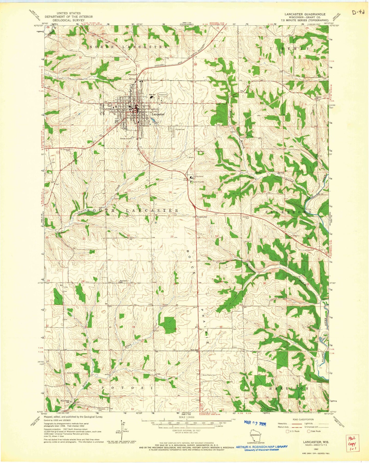
Classic USGS Lancaster Wisconsin 7.5'x7.5' Topo Map
Couldn't load pickup availability
Historical USGS topographic quad map of Lancaster in the state of Wisconsin. Map scale may vary for some years, but is generally around 1:24,000. Print size is approximately 24" x 27"
This quadrangle is in the following counties: Grant.
The map contains contour lines, roads, rivers, towns, and lakes. Printed on high-quality waterproof paper with UV fade-resistant inks, and shipped rolled.
Contains the following named places: Aupperle Cemetery, Aupperle School, Austin Branch, Bethlehem United Church of Christ, Boice Creek Cemetery, Boice Creek School, Boice Prairie, Boice Prairie Cemetery, Cement School, Christ Lutheran Church, City of Lancaster, Cunningham Museum, Dee Dee Acres, Eden Valley Farms, Fairview School, Faith Lutheran Church, Four Corners Ranch, Grant Community Clinic, Grant County, Grant County Courthouse, Grant County Fairgrounds, Grant County Law Enforcement Center, Grant County Prison, Grant County Sheriff's Office, Grant Regional Health Center, Hampton Cemetery, Hillside Cemetery, Koeller Dairy, Krohn Farm, Lancaster, Lancaster Christian Chapel, Lancaster City Hall, Lancaster Fire Department, Lancaster High School, Lancaster Industrial Park, Lancaster Middle School, Lancaster Municipal Airport, Lancaster Police Department, Lancaster Post Office, Leeser Farms, Macland Farms, Majestic View Dairy, McPherson Branch, Moore Branch, Prairie Dairy Farms, Prairie Dell Stock Farm, Prairie View Farms, Reorganized Church of Jesus Christ of Latter Day Saints, Rock School, Ryland Park, Saint Clement School, Saint Clements Cemetery, Saint Clements Church, Santerra Dairy, Schreiner Memorial Library, Schreiner Park, Town of South Lancaster, WGLR-AM (Lancaster), WGLR-FM (Lancaster), Windswept Farms, Winskill Elementary School, ZIP Code: 53813


