MyTopo
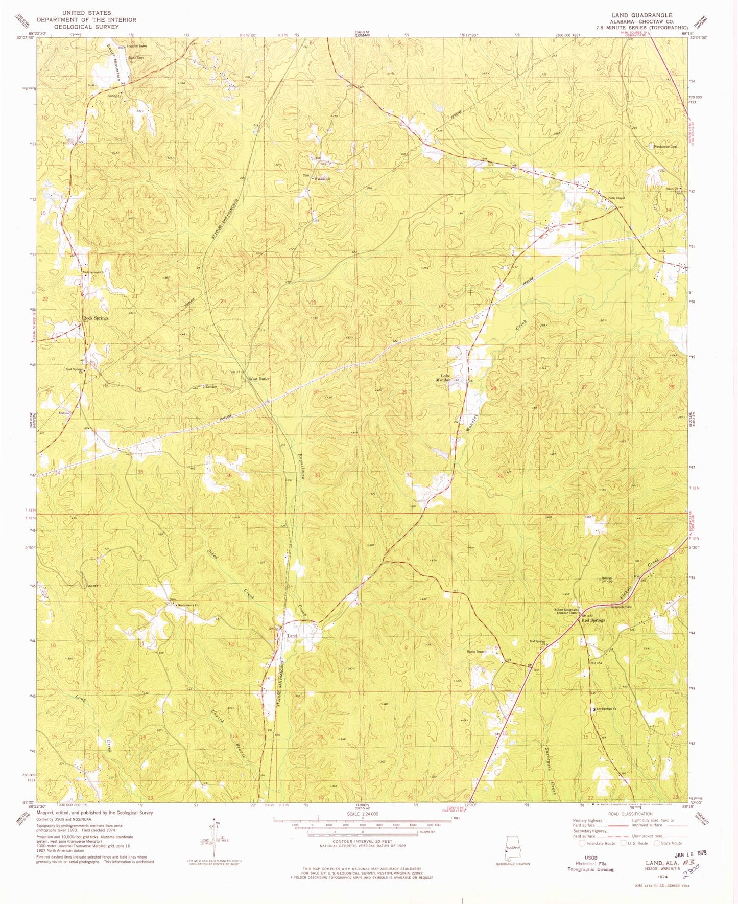
Classic USGS Land Alabama 7.5'x7.5' Topo Map
Couldn't load pickup availability
Historical USGS topographic quad map of Land in the state of Alabama. Map scale may vary for some years, but is generally around 1:24,000. Print size is approximately 24" x 27"
This quadrangle is in the following counties: Choctaw.
The map contains contour lines, roads, rivers, towns, and lakes. Printed on high-quality waterproof paper with UV fade-resistant inks, and shipped rolled.
Contains the following named places: Armstrong School, Betty Gap Mountain, Butler Mountain Lookout Tower, Choctaw County, Church Branch, Community Church, Ebenezer Cemetery, Faith Chapel, Hill Mountain, Hunnicut Creek, Lake Meadow, Land, Land Church, Lingo Mountain, Owens Mill, Pine Grove School, Potato Ridge, Providence Cemetery, Red Spring School, Red Springs, Red Springs Assembly of God Church, Red Springs Baptist Church, Rock Springs, Rock Springs Baptist Church, Rock Springs Branch, Rock Springs Church, Salem Church, Scott Cemetery, Scott Mountain Volunteer Fire Department, Shady Grove Church, Short Forks, Sickle Ridge, Sikes Creek, Ulmer Creek, Wahalak Baptist Church, West Butler, ZIP Code: 36904