MyTopo
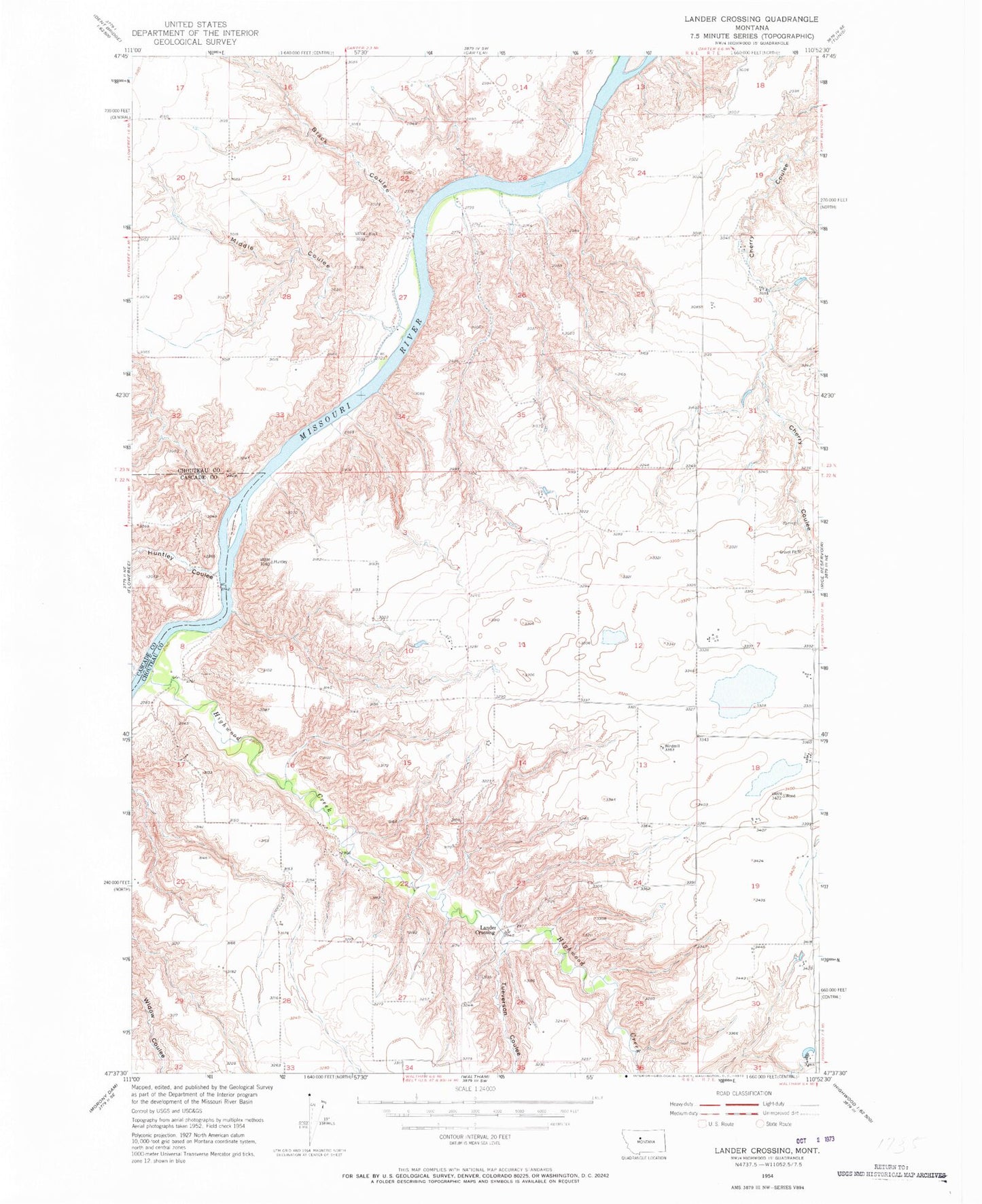
Classic USGS Lander Crossing Montana 7.5'x7.5' Topo Map
Regular price
$16.95
Regular price
Sale price
$16.95
Unit price
per
Couldn't load pickup availability
Historical USGS topographic quad map of Lander Crossing in the state of Montana. Map scale may vary for some years, but is generally around 1:24,000. Print size is approximately 24" x 27"
This quadrangle is in the following counties: Cascade, Chouteau.
The map contains contour lines, roads, rivers, towns, and lakes. Printed on high-quality waterproof paper with UV fade-resistant inks, and shipped rolled.
Contains the following named places: 22N06E09DDAB01 Well, 22N06E10CD__01 Well, 22N07E07BCCA01 Well, Black Coulee, Highwood Creek, Huntley Coulee, Lander Crossing, Middle Coulee, Ryan Coulee, Tueverson Coulee