MyTopo
Classic USGS Lander NW Wyoming 7.5'x7.5' Topo Map
Regular price
$16.95
Regular price
Sale price
$16.95
Unit price
per
Couldn't load pickup availability
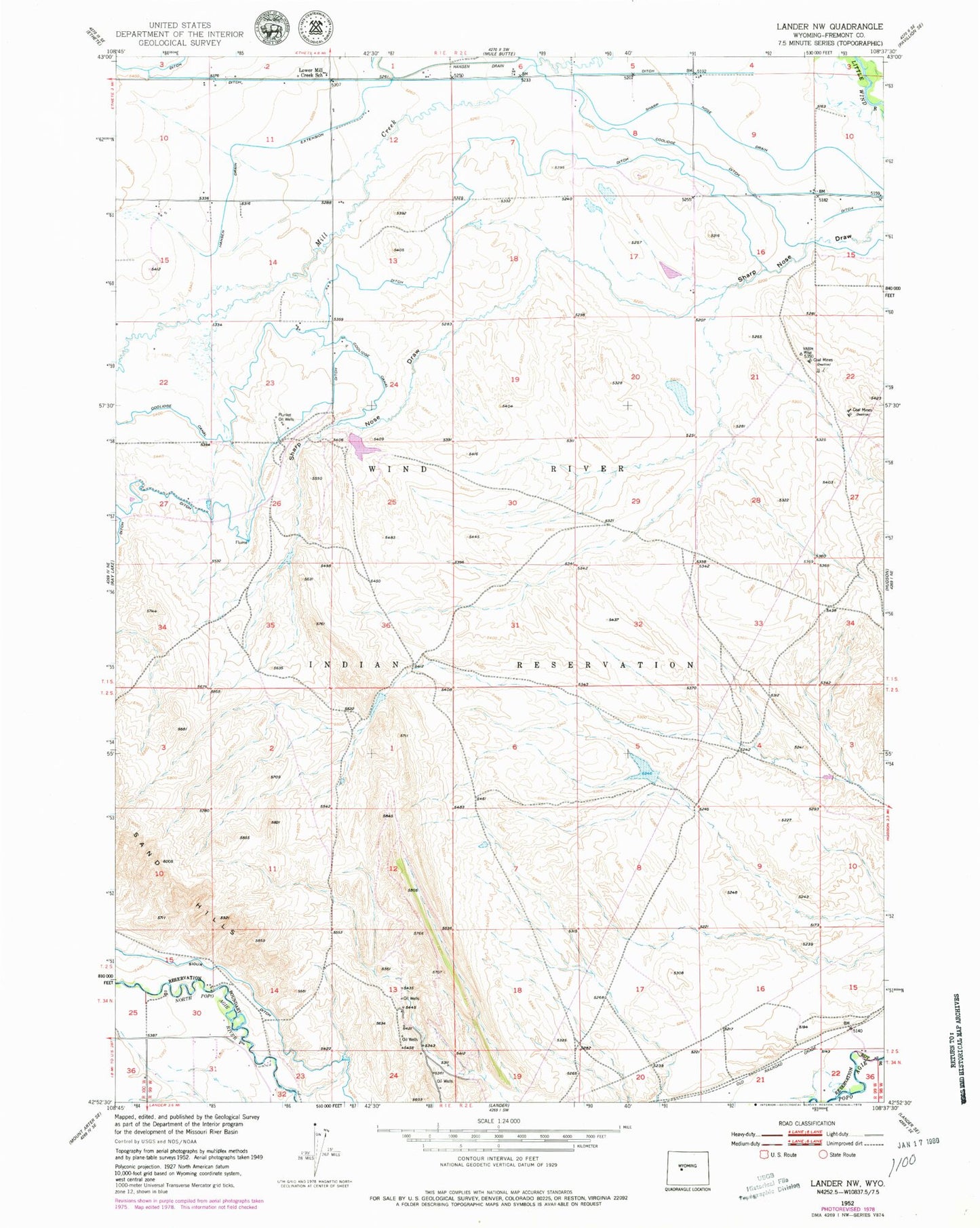
Historical USGS topographic quad map of Lander NW in the state of Wyoming. Map scale may vary for some years, but is generally around 1:24,000. Print size is approximately 24" x 27"
This quadrangle is in the following counties: Fremont.
The map contains contour lines, roads, rivers, towns, and lakes. Printed on high-quality waterproof paper with UV fade-resistant inks, and shipped rolled.
Contains the following named places: Blessed Sacrament Church, Coolidge Ditch, Hansen Drain, Hansen Drain Extension, KDLY-FM (Lander), KGWL-TV (Lander), Lower Mill Creek School, Plunket Oil Wells, Sand Hills, Sharp Nose Drain, Sioux Ditch, Wypo Sand and Gravel Pit