MyTopo
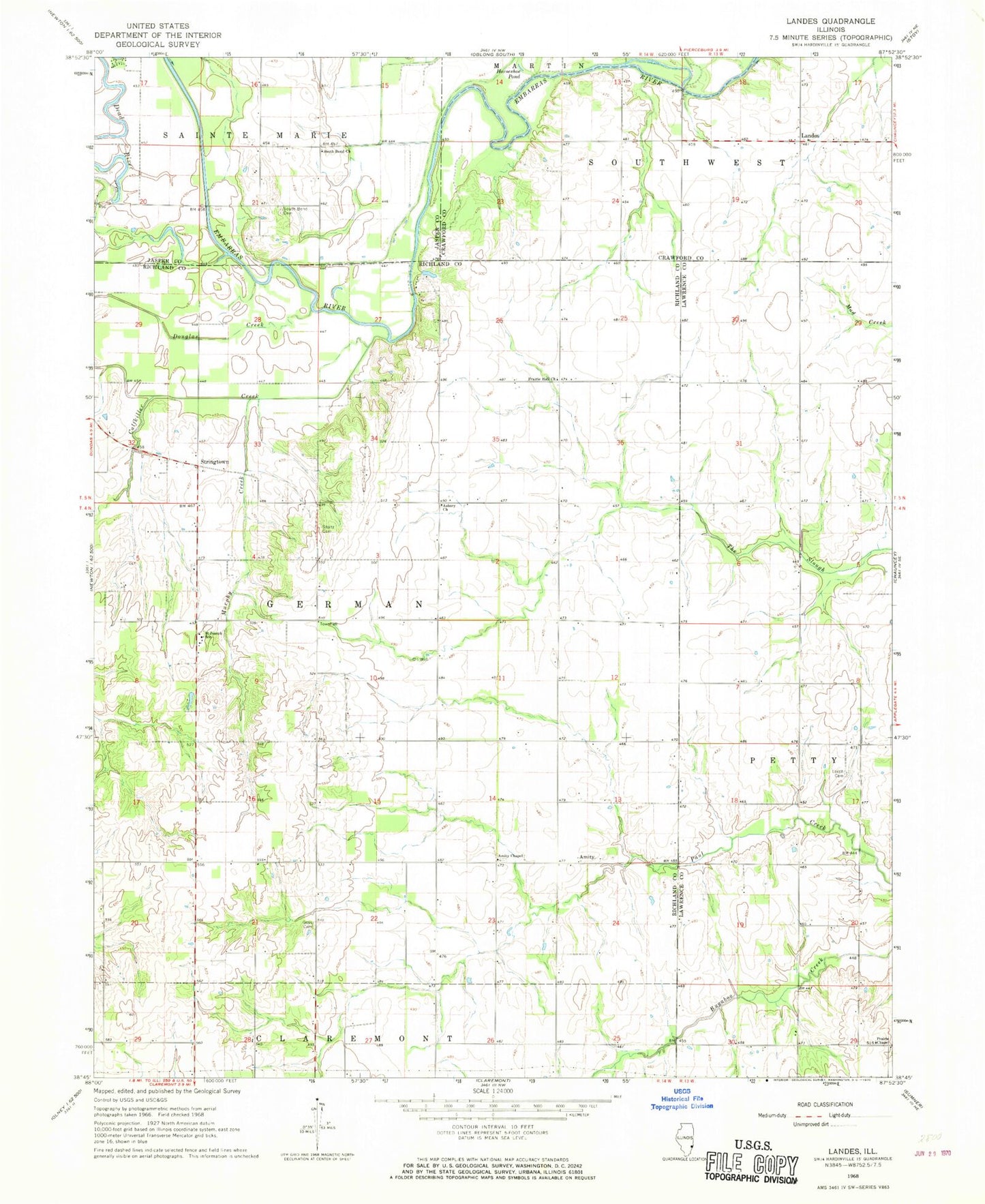
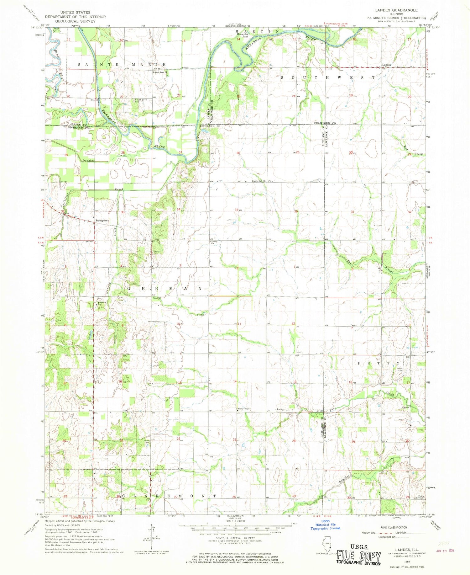
Classic USGS Landes Illinois 7.5'x7.5' Topo Map
Couldn't load pickup availability
Historical USGS topographic quad map of Landes in the state of Illinois. Map scale may vary for some years, but is generally around 1:24,000. Print size is approximately 24" x 27"
This quadrangle is in the following counties: Crawford, Jasper, Lawrence, Richland.
The map contains contour lines, roads, rivers, towns, and lakes. Printed on high-quality waterproof paper with UV fade-resistant inks, and shipped rolled.
Contains the following named places: Amity, Amity Cemetery, Amity Chapel, Amity School, Asbury Church, Calfkiller Creek, Cotterell School, Cow Ford Ferry, Crum School, Dark Bend Cemetery, Douglas Creek, Fyffe School, Goss Cemetery, Landes, Leech Cemetery, Leech School, Mount North School, Murphy Creek, Newlight Church, Prairie Chapel, Prairie Hall Church, Prairie Hall School, Prairie School, Roney School, Saint Joseph Church, Saint Joseph School, Saint Josephs Cemetery, South Bend Church, Stoltz Cemetery, Stringtown, Township of German, Union School, ZIP Code: 62421