MyTopo
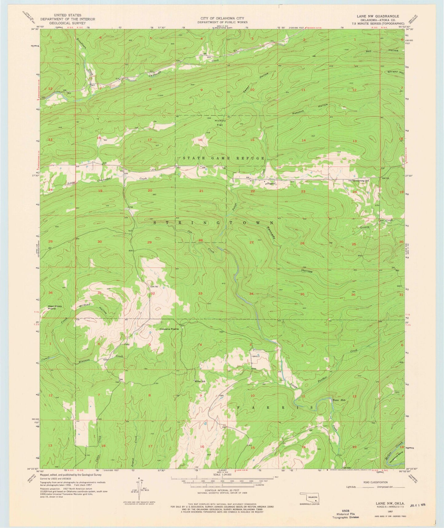
Classic USGS Lane NW Oklahoma 7.5'x7.5' Topo Map
Couldn't load pickup availability
Historical USGS topographic quad map of Lane NW in the state of Oklahoma. Map scale may vary for some years, but is generally around 1:24,000. Print size is approximately 24" x 27"
This quadrangle is in the following counties: Atoka.
The map contains contour lines, roads, rivers, towns, and lakes. Printed on high-quality waterproof paper with UV fade-resistant inks, and shipped rolled.
Contains the following named places: Armstrong School, Atoka County Dam, Atoka County Lake, Breadtown Creek, Cat Creek, Cedar Hollow, Fugate, Hiawana Creek, Hiawana Prairie, Hickory Flat, Horseshoe Bend, Kennedy Hollow, Miller School, Oknoname 135004 Dam, Oknoname 135004 Reservoir, Panther Creek, Peacock Hollow, Stringtown Public Hunting Area, Texas Hole, Wildcat Hollow, Wildlife Management Area, ZIP Code: 74569