MyTopo
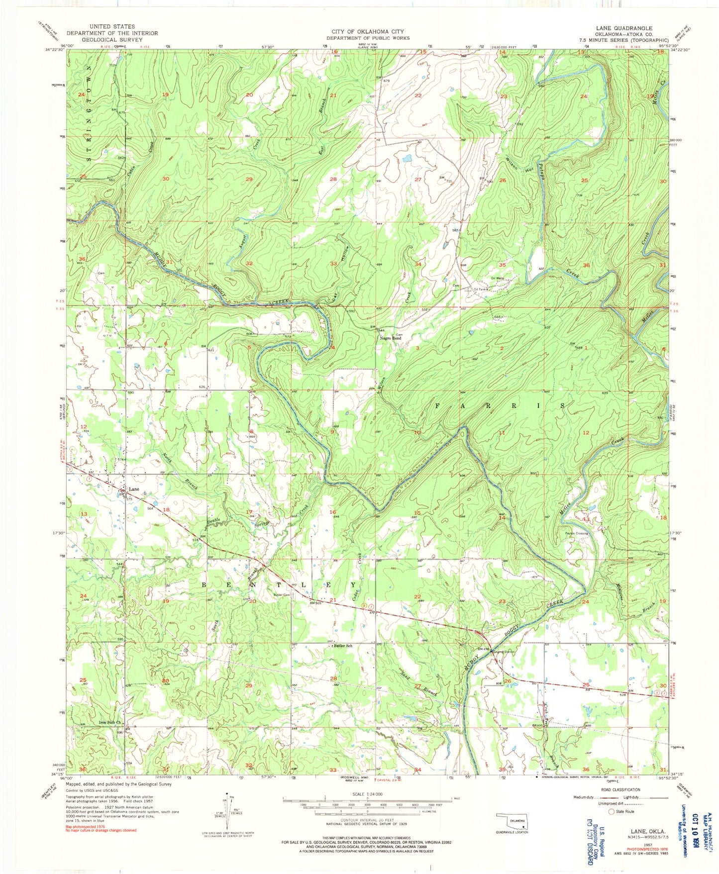
Classic USGS Lane Oklahoma 7.5'x7.5' Topo Map
Couldn't load pickup availability
Historical USGS topographic quad map of Lane in the state of Oklahoma. Map scale may vary for some years, but is generally around 1:24,000. Print size is approximately 24" x 27"
This quadrangle is in the following counties: Atoka.
The map contains contour lines, roads, rivers, towns, and lakes. Printed on high-quality waterproof paper with UV fade-resistant inks, and shipped rolled.
Contains the following named places: August Creek, Butler Cemetery, Butler School, Cabin Creek, Cat Hollow, Cedar Creek, Central Atoka Division, Double Springs Cemetery, Double Springs Creek, East Branch August Creek, Iron Stob Church, Lane, Lane Census Designated Place, Lane Elementary School, Lane Post Office, McGee Creek, Medicine Branch, Negro Bend, North Branch Double Springs Creek, Payton Crossing, Potapo Creek, Sand Branch, South Branch Double Springs Creek, Wilson Creek, Wilson Hollow