MyTopo
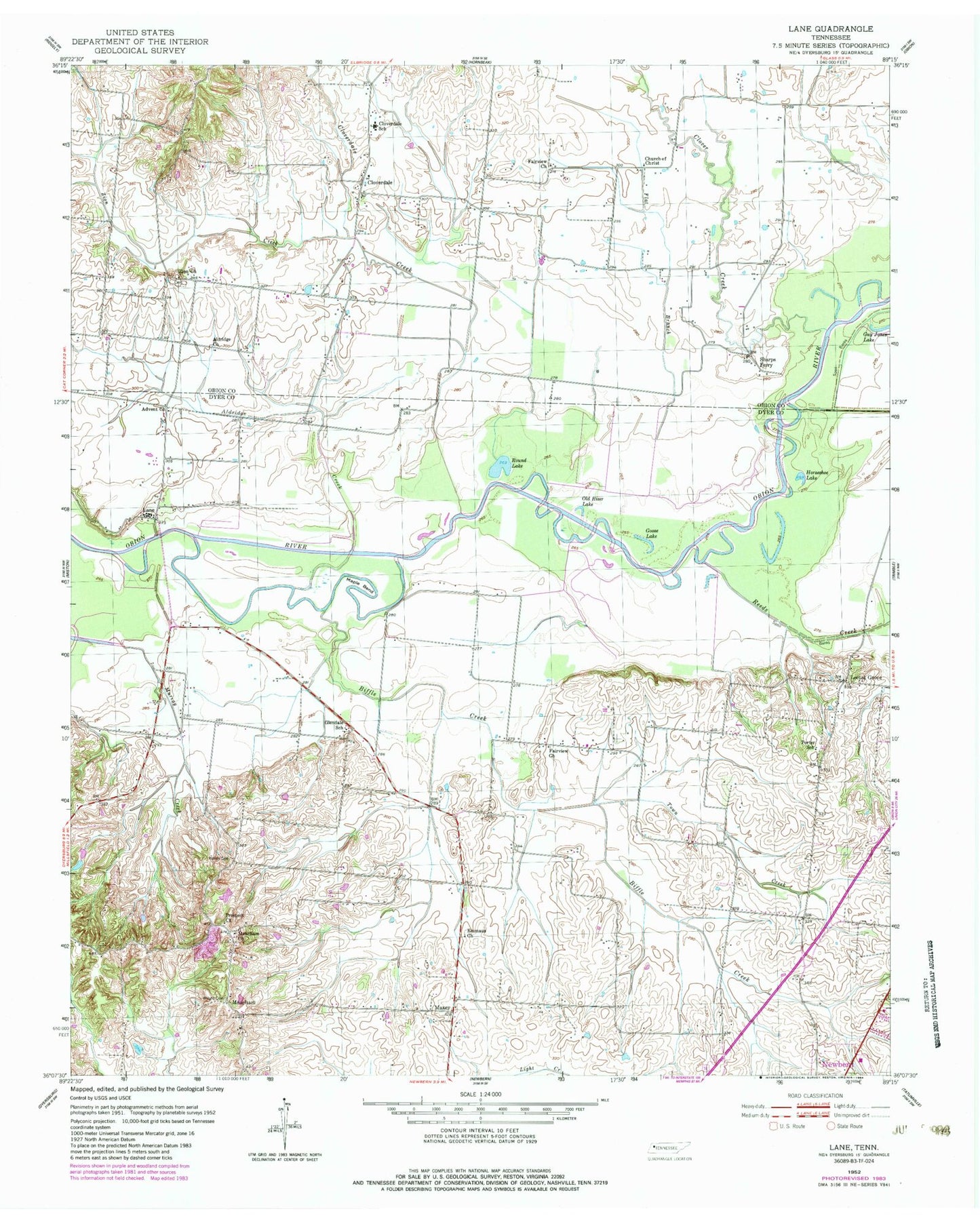
Classic USGS Lane Tennessee 7.5'x7.5' Topo Map
Couldn't load pickup availability
Historical USGS topographic quad map of Lane in the state of Tennessee. Map scale may vary for some years, but is generally around 1:24,000. Print size is approximately 24" x 27"
This quadrangle is in the following counties: Dyer, Obion.
The map contains contour lines, roads, rivers, towns, and lakes. Printed on high-quality waterproof paper with UV fade-resistant inks, and shipped rolled.
Contains the following named places: Advent Church, Aldridge Church, Aldridge Creek, Bailey Cemetery, Biffle Creek, Church of Christ, Clover Creek, Cloverdale, Cloverdale Church, Cloverdale Creek, Cloverdale School, District 20, District 6, Emmaus Church, Fairview Church, Fairview School, Flat Branch, Glendale School, Goose Lake, Guy Jones Lake, Horseshoe Lake, Lane, Locust Grove, Maple Bend, Maxey, Maxey Community Center, Maxey School, Meacham, Meacham Church, Murray Creek, Obion Lake, Old River Lake, Porter School, Prospect Church, Prospect School, Reeds Creek, Round Lake, Sharps Ferry, Town Creek, WQDQ-AM (Lebanon), Wright Cemetery, Zion Cemetery, Zion Church, Zion Creek, ZIP Code: 38240


