MyTopo
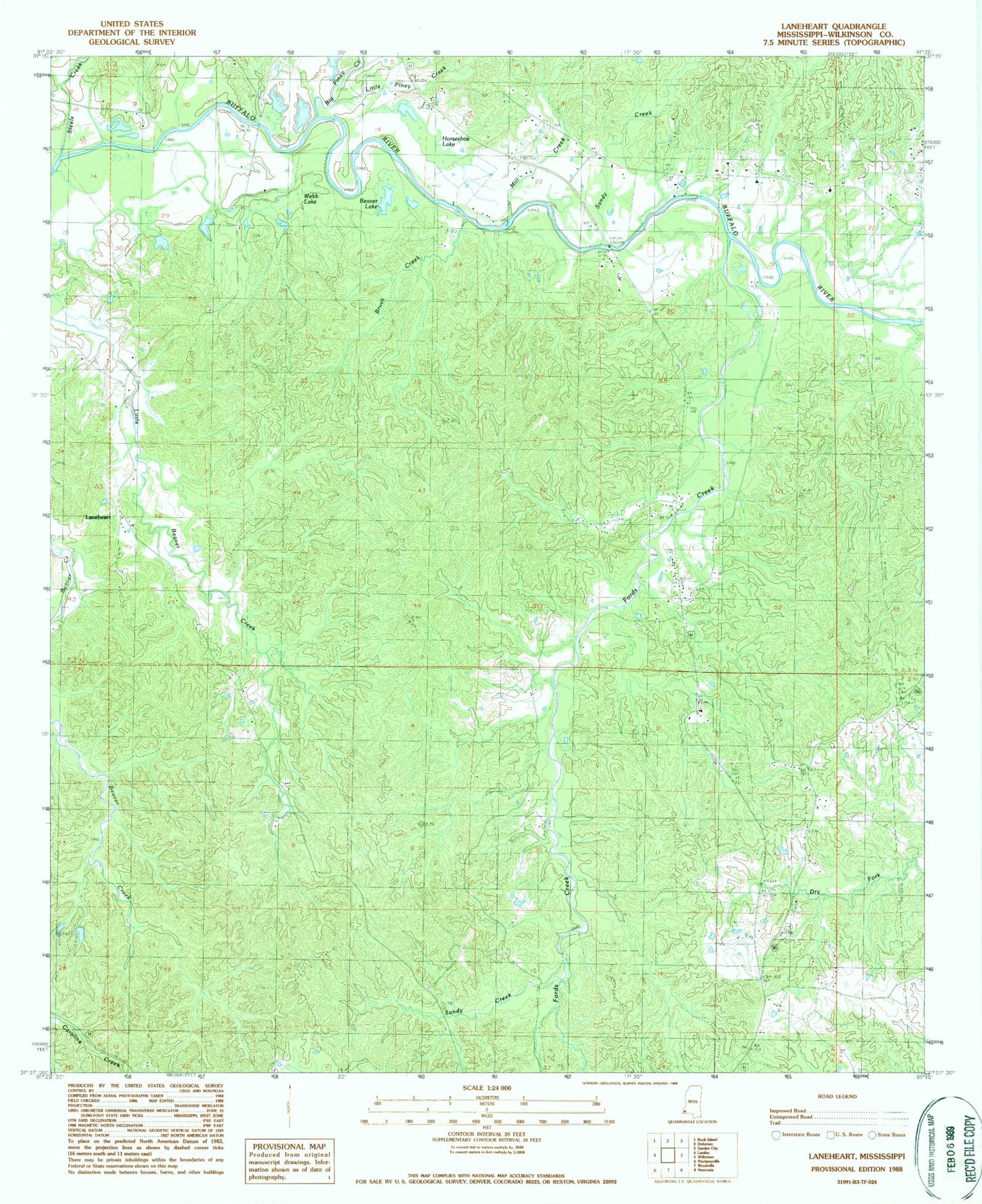
Classic USGS Laneheart Mississippi 7.5'x7.5' Topo Map
Couldn't load pickup availability
Historical USGS topographic quad map of Laneheart in the state of Mississippi. Map scale may vary for some years, but is generally around 1:24,000. Print size is approximately 24" x 27"
This quadrangle is in the following counties: Wilkinson.
The map contains contour lines, roads, rivers, towns, and lakes. Printed on high-quality waterproof paper with UV fade-resistant inks, and shipped rolled.
Contains the following named places: Allen School, Beaver Lake, Big Piney Creek, Brush Creek, Corinth Church, Crosby Lookout Tower, Elliston School, Evening Star Church, Fords Creek, Fords Creek School, Hays Cemetery, Highway Village Church, Horseshoe Lake, J M Sessions Lake Dam, Laneheart, Little Piney Creek, Mill Creek, Morning Star Church, Pioneer Cemetery, Pioneer Church, Saint Matthew Church, Sandy Creek, Steels Creek, Supervisor District 4, Webb Lake, Westberry Cemetery, Wilkinson County, Wilkinson County Correctional Center, Wilkinson County Farm, Wilkinson Oil Field, Woodburn School, Zion Hill Church