MyTopo
Classic USGS Lanes Bridge California 7.5'x7.5' Topo Map
Couldn't load pickup availability
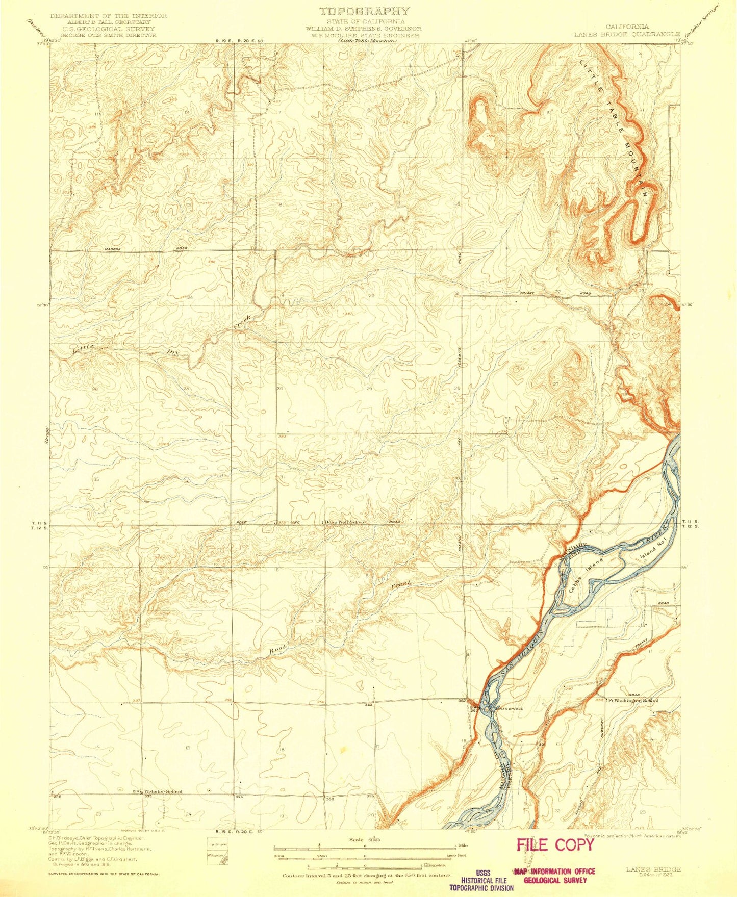
Historical USGS topographic quad map of Lanes Bridge in the state of California. Map scale may vary for some years, but is generally around 1:24,000. Print size is approximately 24" x 27"
This quadrangle is in the following counties: Fresno, Madera.
The map contains contour lines, roads, rivers, towns, and lakes. Printed on high-quality waterproof paper with UV fade-resistant inks, and shipped rolled.
Contains the following named places: Arnold Ranch Airport, Bonadelle Ranchos Nine, Bonadelle Ranchos-Madera Ranchos Census Designated Place, Cobbs Island, Deep Well School, Fort Washington Census Designated Place, Fort Washington Country Club, Fort Washington School, Island Number One, Lanes Bridge, Little Dry Creek, Madera County Fire Department Station 9, Rolling Hills, Rolling Hills Census Designated Place, Sumner Hill, Valley Children's Hospital, Webster School, ZIP Code: 93636