MyTopo
Classic USGS Lang California 7.5'x7.5' Topo Map
Couldn't load pickup availability
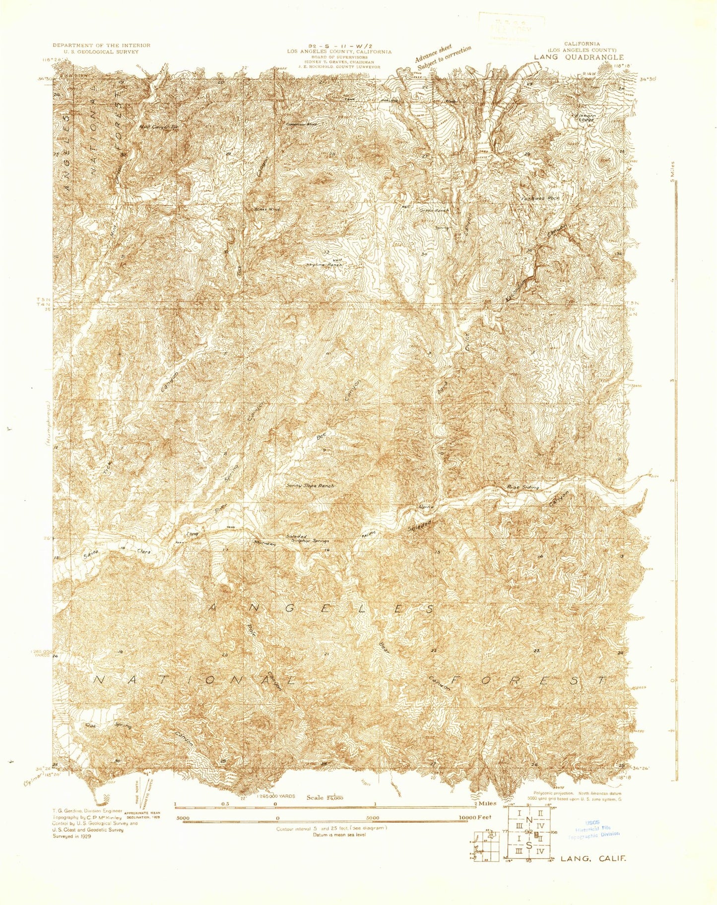
Historical USGS topographic quad map of Lang in the state of California. Typical map scale is 1:24,000, but may vary for certain years, if available. Print size: 24" x 27"
This quadrangle is in the following counties: Los Angeles.
The map contains contour lines, roads, rivers, towns, and lakes. Printed on high-quality waterproof paper with UV fade-resistant inks, and shipped rolled.
Contains the following named places: Bear Canyon, Bee Canyon, Escondido Canyon, Mint Canyon Spring, Pole Canyon, Soledad Campground, Soledad Guard Station, Spring Canyon, Tapie Canyon, Russ, Agua Dulce Canyon, Rush Canyon, Sierra Pelona Valley, Tick Canyon, Rivers End, Agua Dulce, Lang, Vasquez Rocks, Alpine (historical), Borax Mine, Champion Mine, Elkhorn Lodge, Green Ranch, Skyline Ranch, Soledad Sulphur Springs (historical), Sunny Slope Ranch (historical), Vasquez Rocks Park, Agua Dulce Elementary School (historical), Begonias Canyon Park, Saddleback Mountain, Nike Site LA-98L (historical), Magic Mountain Wilderness