MyTopo
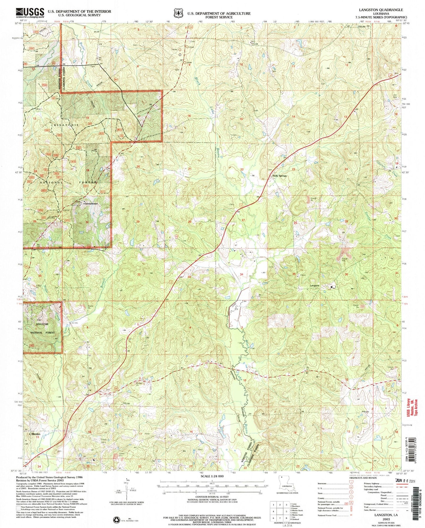
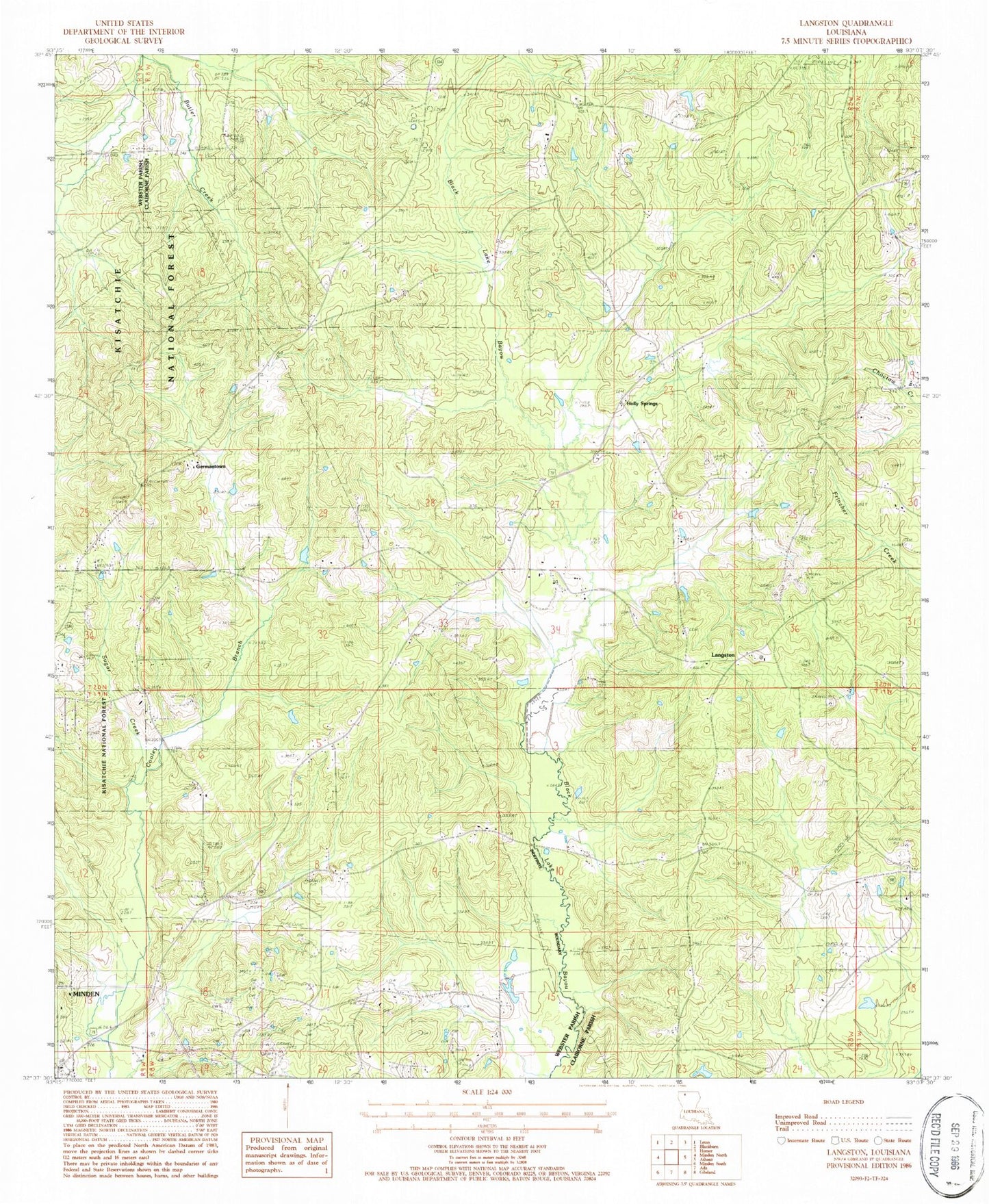
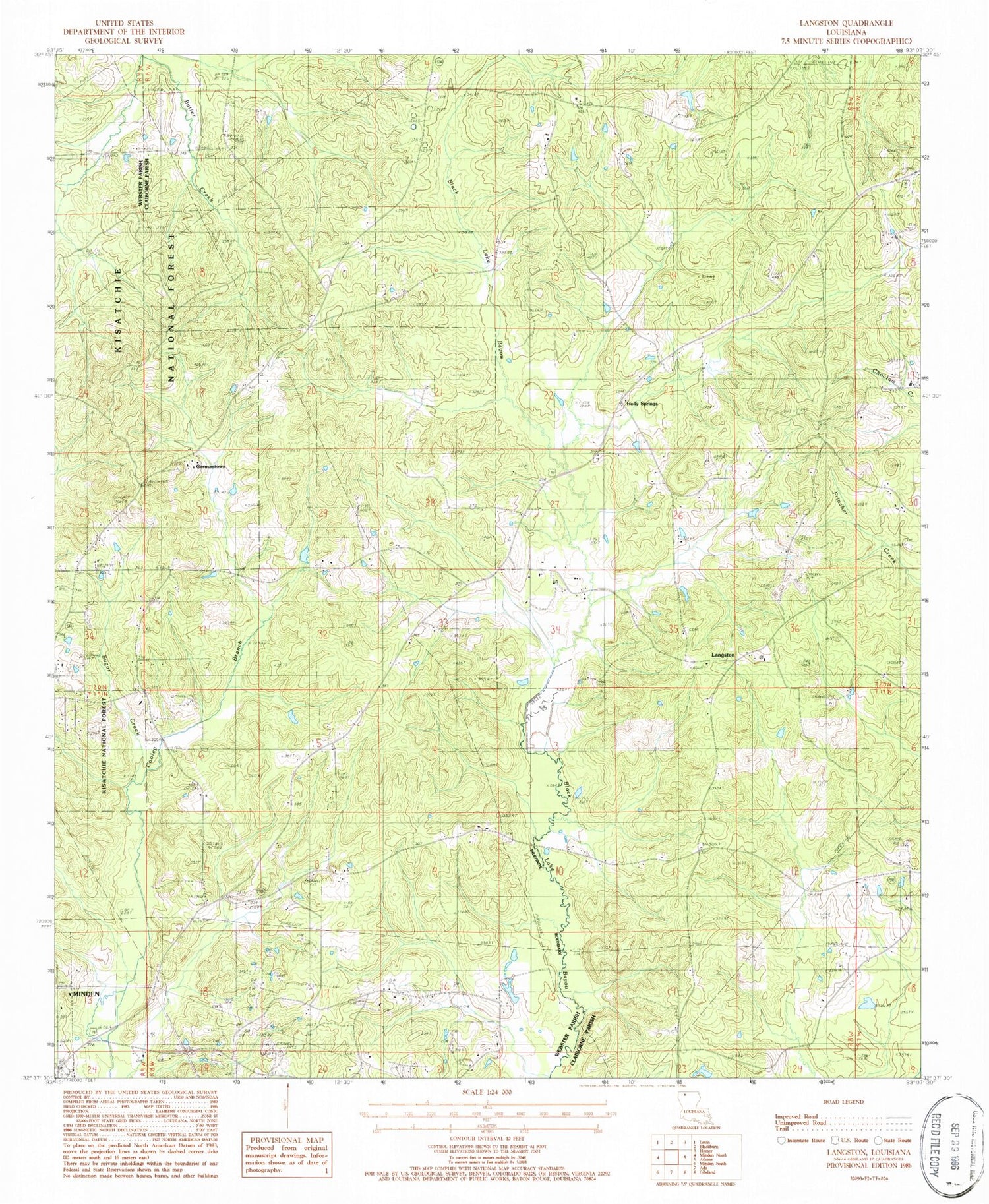
Classic USGS Langston Louisiana 7.5'x7.5' Topo Map
Couldn't load pickup availability
Historical USGS topographic quad map of Langston in the state of Louisiana. Map scale may vary for some years, but is generally around 1:24,000. Print size is approximately 24" x 27"
This quadrangle is in the following counties: Claiborne, Webster.
The map contains contour lines, roads, rivers, towns, and lakes. Printed on high-quality waterproof paper with UV fade-resistant inks, and shipped rolled.
Contains the following named places: Alexander #2 Cemetery, Alexander Cemetery, Antioch School, Carter Cemetery, Dutchtown Lookout Tower, Germantown, Germantown Baptist Church, Germantown Cemetery, Germantown Lookout Tower, Harris School, Holly Springs, Holly Springs Baptist Church, Holly Springs Cemetery, Langston, Mayflower School, Miller Cemetery, Miller Chapel, Miller Family Cemetery, Minden Oil and Gas Field, Mount Zion Cemetery, Oil Field Church, Pine Grove School, Rocky Comfort School, Rocky Ridge School, Sanctified Church, Springhill Cemetery, Springhill Church, Sugar Creek, Ward Four, Webster Parish Fire District 10