MyTopo
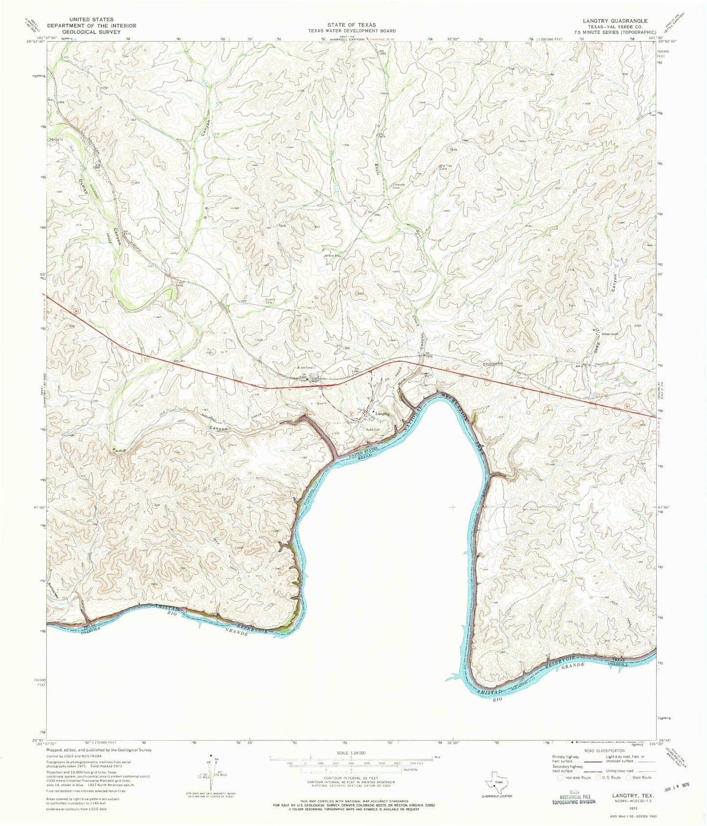
Classic USGS Langtry Texas 7.5'x7.5' Topo Map
Couldn't load pickup availability
Historical USGS topographic quad map of Langtry in the state of Texas. Map scale may vary for some years, but is generally around 1:24,000. Print size is approximately 24" x 27"
This quadrangle is in the following counties: Val Verde.
The map contains contour lines, roads, rivers, towns, and lakes. Printed on high-quality waterproof paper with UV fade-resistant inks, and shipped rolled.
Contains the following named places: Babb Cemetery, Billings Ranch, Eagle Nest Creek, G4 Canyon, Home of Judge Roy Bean Law West of the Pecos, Ingram Ranch, J Fisher Ranch, Judge Roy Bean Visitor Center, Langtry, Langtry Post Office, Mile Canyon, Obryane Ranch, Osman Canyon, Pump Canyon, Rattlesnake Canyon, Seep Canyon, Seep Springs, Smokeys Vega