MyTopo
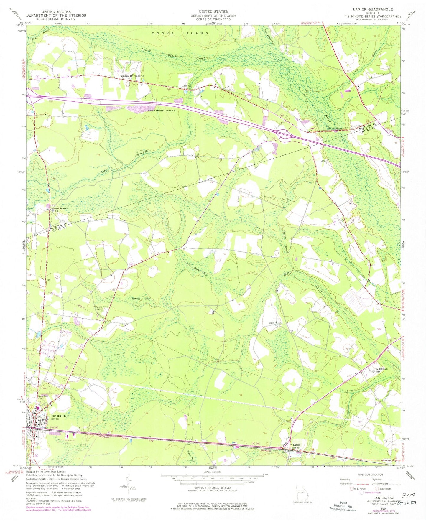
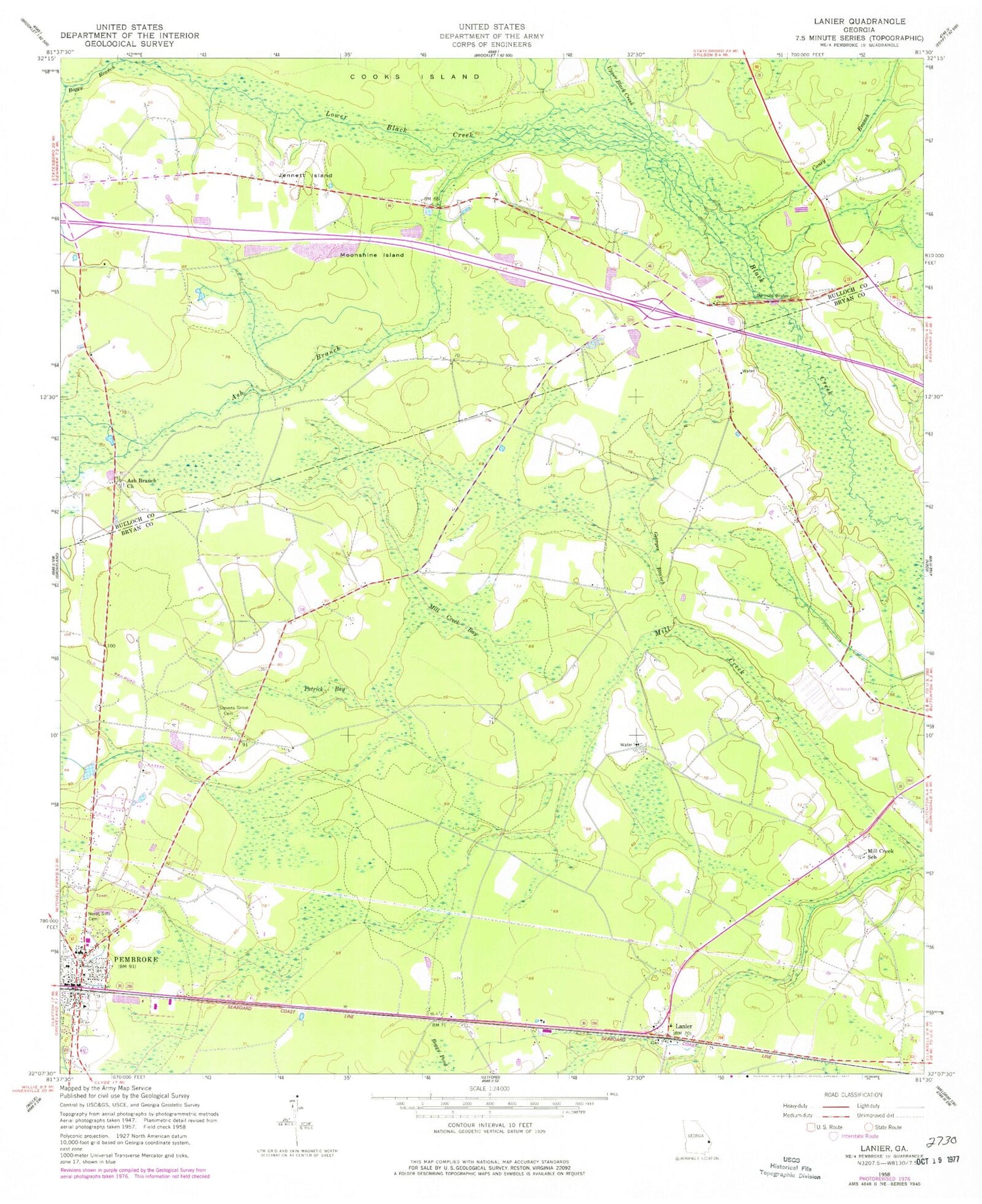
Classic USGS Lanier Georgia 7.5'x7.5' Topo Map
Couldn't load pickup availability
Historical USGS topographic quad map of Lanier in the state of Georgia. Map scale may vary for some years, but is generally around 1:24,000. Print size is approximately 24" x 27"
This quadrangle is in the following counties: Bryan, Bulloch.
The map contains contour lines, roads, rivers, towns, and lakes. Printed on high-quality waterproof paper with UV fade-resistant inks, and shipped rolled.
Contains the following named places: Ash Branch, Ash Branch Church, Athens Church, Bay District Volunteer Fire Department, Black Creek Golf Club, Black Creek School, Boggy Branch, Bryan County Church, Bryan County Courthouse, Bryan County Elementary School, Bryan County High School, Bryan County Jail, Bryan County Middle School, Bryan County Sheriff's Office, Bryan Normal Institute, Burnsed Bridge, Caney Branch, Christ Baptist Church, City of Pembroke, Esla School, Faith Harvest Sanctuary Church, First Baptist Church, Georges Branch, Groover Ford, Jennett Island, Lanier, Lanier Church, Lanier Elementary School, Lanier Primary School, Lower Black Creek, Mill Creek Bay, Mill Creek School, Moonshine Island, North Bryan County Fire Department Station 5, North Side Cemetery, Patrick Bay, Pembroke, Pembroke City Hall, Pembroke Division, Pembroke Fire Department, Pembroke Police Department, Pembroke United Methodist Church, Pembroke Water Pollution Control Plant, Purvis School, Scott Ford, Stevens Grove Cemetery, Stevens Grove School, Upper Black Creek, WVAN-TV (Savannah)


