MyTopo
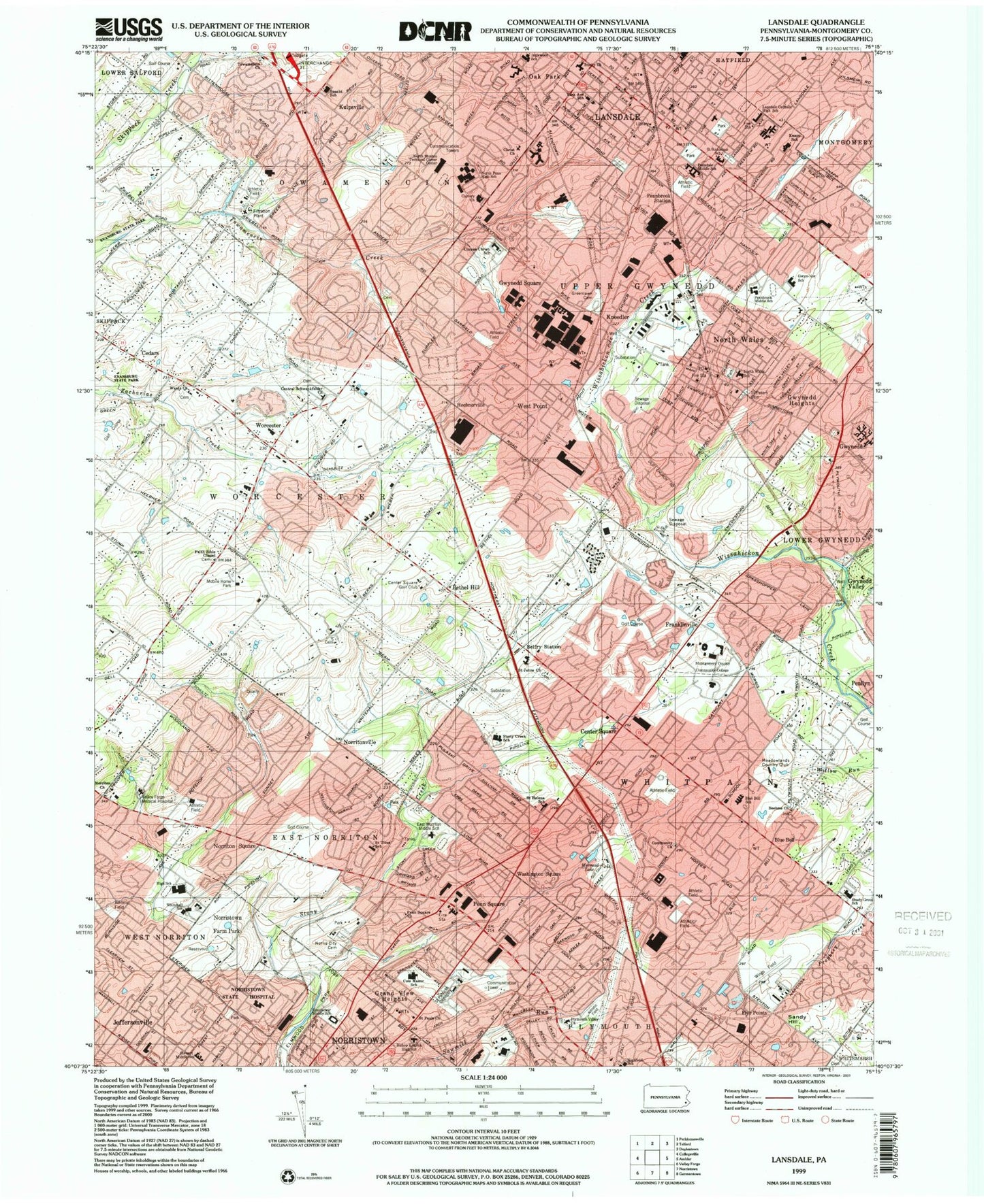
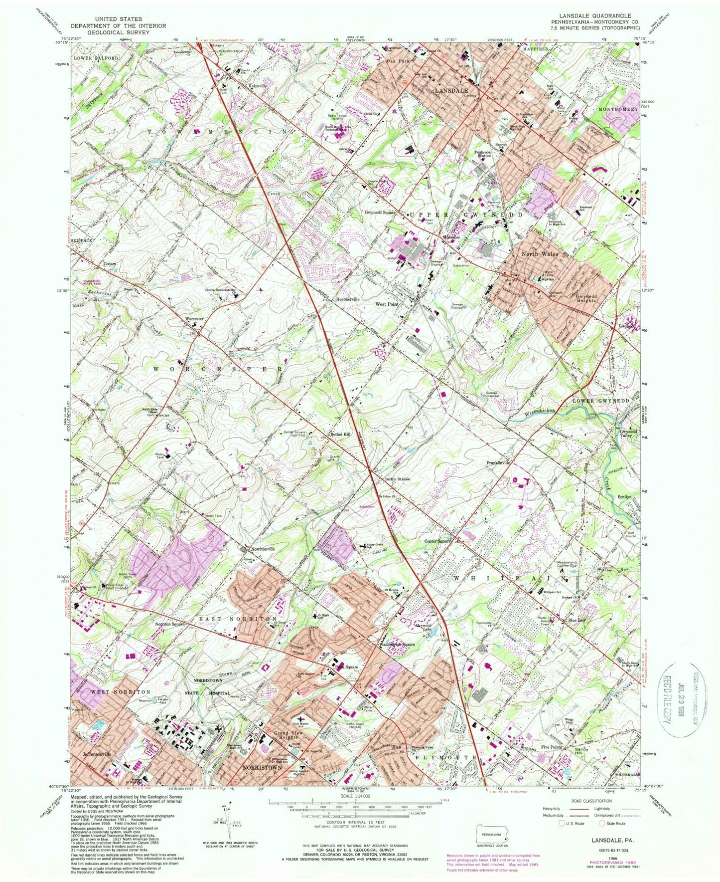
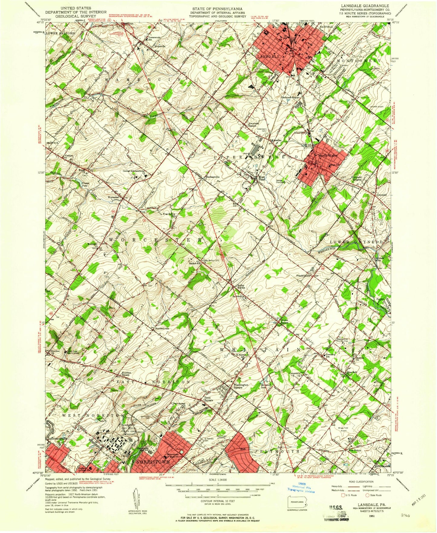
Classic USGS Lansdale Pennsylvania 7.5'x7.5' Topo Map
Couldn't load pickup availability
Historical USGS topographic quad map of Lansdale in the state of Pennsylvania. Typical map scale is 1:24,000, but may vary for certain years, if available. Print size: 24" x 27"
This quadrangle is in the following counties: Montgomery.
The map contains contour lines, roads, rivers, towns, and lakes. Printed on high-quality waterproof paper with UV fade-resistant inks, and shipped rolled.
Contains the following named places: Belfry Station, Blue Bell, Boehms Church, Calvary Church, Center Square, Central Schwenkfelder Church, Christ Church, Cole Manor School, Corpus Christi School, Eisenhower Middle School, Elmwood Park, Faith Bible Chapel, Grand View Heights, Greenlawn Cemetery, Gwynedd Heights, Gwynedd Square, Hancock School (historical), Highfield School, Jeffersonville, Kulpsville, Lansdale, Mermaid Lake, Norris City Cemetery, Norristown State Hospital, Norriton Church, Norriton Square, North Monteo Technical Career Center, North Wales, Oak Park, Olivet Church, Pennbrook Middle School, Gwyn-Nor Elementary School, Pennbrook Station, Penn Square, Penn Square Church, Plymouth Valley Church, Rittenhouse Junior High School (historical), Saint Helena School, Saint Johns Church, Saint Patrick's Cemetery, Saint Pauls Church, Saint Peters Cemetery, Saint Stanislaus School, Schwenkfelder Church, Shady Grove Elementary School, Spacht School, Stewart Middle School, Stony Creek School, Towamencin Church, Trewellyn Creek, Trinity Church, Valley Forge Medical Center and Hospital, Washington Square, Wentz Church, Willow Run, West Point, Blue Bell Elementary School, Sandy Hill, Wings Field, Joe D Airport (historical), Russell-Saylor Airport (historical), Packus Airport (historical), Wilson Airport, Saw Mill Dam, Belfry, Hooverton, Harley Corners, Acorn, Springtown, Narcissa, Gross Dam, WIFI-FM (Philadelphia), WNAR-AM (Norristown), WTEL-AM (Philadelphia), WNPV-AM (Lansdale), Bethel Hill, Cedars, Five Points, Franklinville, Gwynedd, Gwynedd Valley, Heebnerville, Norritonville, Worcester, Woods Golf Course, Mermaid Swim and Golf Club, Astor Shopping Center, Fischers Dam, Benesh Dam, North Wales Elementary School, Norristown Area High School, North Penn Senior High School, East Norriton Middle School, Hartranet Station, Montgomery County Community College, Kneedler Station, Inglewood, Peter Wentz Homestead, Center Square Golf Club, Meadowlands Country Club, Worcester Post Office, Montgomery County, Suburban General Hospital Heliport, Upper Gwynedd Township Police Heliport, Leeds and Northrup Company Heliport, Inglewood Elementary School, Knapp Elementary School, York Avenue Elementary School, Evansburg State Park, Borough of Lansdale, Borough of North Wales, Township of East Norriton, Township of Towamencin, Township of Upper Gwynedd, Township of Whitpain, Township of Worcester, East Norriton, Lansdale Catholic High School, Whitehall Elementary School, Penndale Middle School, Morgan Log House, Kepner Creek, Barley Lane, Bayhill, Belfry Meadow, Bethel Grant, Bethel Hill Methodist Church, Birkdale, Blue Bell Country Club, Blue Bell Crossing, Blue Bell Farms, Blue Bell Gardens, Blue Bell Glenn, Blue Bell Knoll, Blue Bell Office Camp, Blue Bell Post Office, Blue Bell Road Manor, Blue Bell Square, Boehms Cemetery, Brittany Pointe Estates, Church of the Trinity Evangelical Lutheran, Clover Crest, Clover Mall Shopping Center, Coleston, Colonial Middle School, Burnside Oakland Park, Buxmont Academy, Calmensin, Calvert Hurdle Park, Cambridge Knoll, Cardinal Hollow, Cathcart Manor, Cedars Post Office, Center Point Village Office Park, Centre Square Fire Company Station 33B, Center Square Green, Center Square Plaza Shopping Center, Centre Square Fire Company Station 33, Central Montgomery County Vocational Technical School, Chatham Village of Towamencin, Chesterbrook Academy, Chesterbrook Academy, Child Development Center and Montogmery County Intermediate School, Ager Tract, Gwynedd Post Office, Gwynedd Square Elementary School, Gwynedd Square Presbyterian Church, Gwynedd Valley Post Office, Gwynedd Valley Station, Gwynedd Woods, Harmonville Fire Company 1 Substation 44B, Helen Marie Court, Hillcrest Meadows, Hillcrest Plaza Shopping Center, Hollis Hills, Cornerstone Church of Skippack, DeKalb Farms, Dekalb Park, Norriton Fire Company Main Station 61, East Norriton Township Hall, East Norriton Township Police Station, East Norritown Township Park, East Plymouth Valley Park, Elmwood Park Zoo, Epiphany of Our Lord School, Evangelical Congregation Cemetery, Fairmount Substation 1250 Fire Station, Fairmount Fire Company Station 14, Far-A-Field, Felton Road Industrial Park, Fischers Park, Foulkeways, General Nash Elementary School, Gleneagles, Glengary Highlands, Gwynedd Acres, Gwynedd Chase, Gwynedd Club, Gwynedd Friends Meeting House Cemetery, Gwynedd Friends Meetinghouse Church, Gwynedd Hill, Line Street Park, Logan Square Shopping Center, Madison Ridge, Markley Medical Center, Normandy Farms Estates, Norris Hills Court, Norristown Farm Park, Norrition Presbyterian Church, Norrition Woods, Norriton Community Church, Norriton East, Norriton Presbyterian Church Cemetery, Norriton Fire Company Substation 61B, North Penn Crossing, North Penn Korean Church, North Penn Shopping Center, North Penn Fire Company Main Station 62, North Penn Fire Company Substation 62B, North Wales Baptist Church, North Wales Borough Hall, North Wales Library, North Wales Memorial Free Library, North Wales Police Station, North Wales Post Office, North Wales Station, Northtowne Shopping Center, Oak Lane Day School, Meadow Wick, Meadowlands Manor, Suburban Community Hospital, Mermaid Estates, Mermaid Swim and Golf Course, Merrybrook, Mews at Blue Bell, Montgomery Commons Shopping Center


