MyTopo
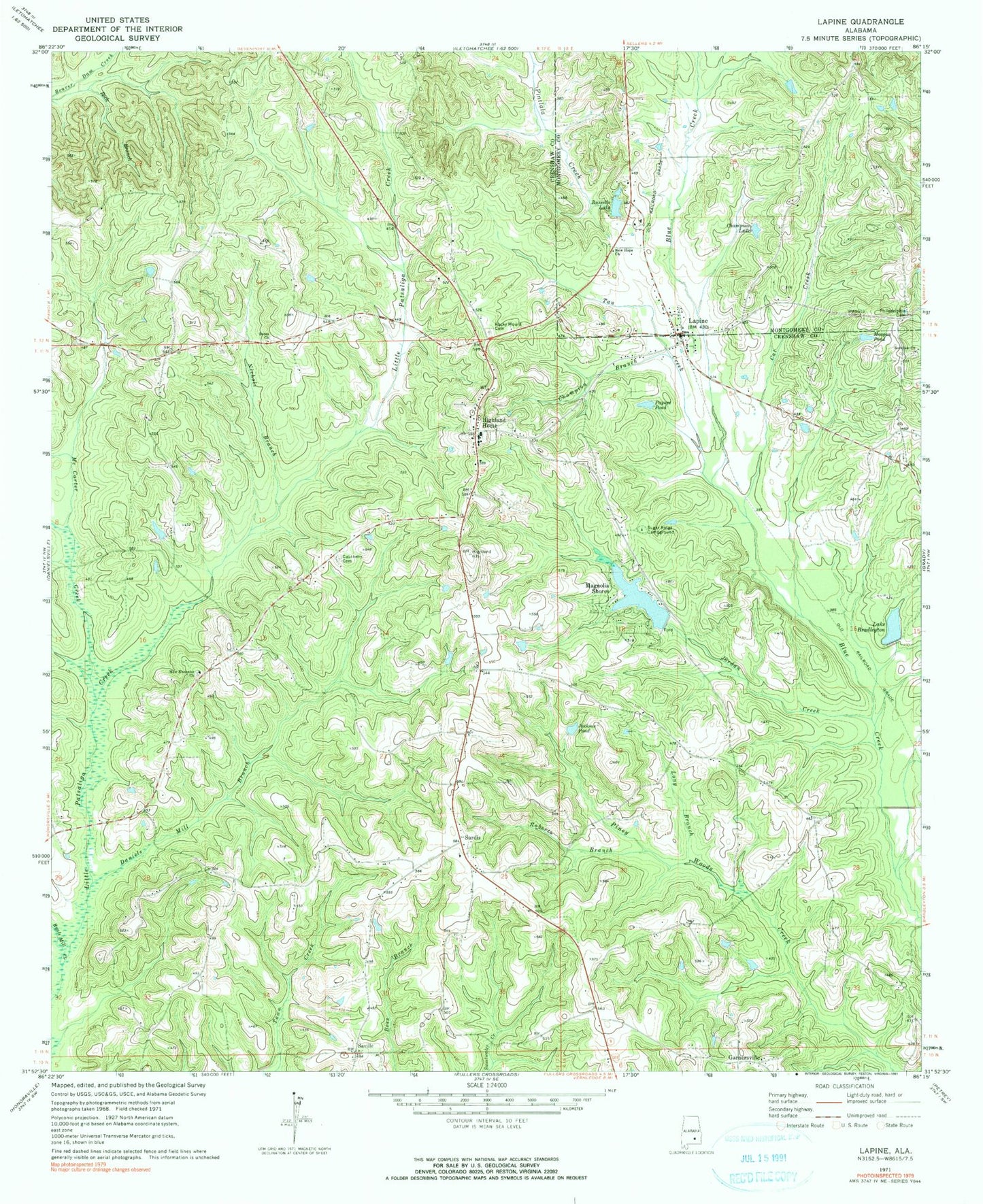
Classic USGS Lapine Alabama 7.5'x7.5' Topo Map
Couldn't load pickup availability
Historical USGS topographic quad map of Lapine in the state of Alabama. Map scale may vary for some years, but is generally around 1:24,000. Print size is approximately 24" x 27"
This quadrangle is in the following counties: Crenshaw, Montgomery.
The map contains contour lines, roads, rivers, towns, and lakes. Printed on high-quality waterproof paper with UV fade-resistant inks, and shipped rolled.
Contains the following named places: Berea Church, Berkley Mill Creek, Bethel Church, Bradleton Lake Dam, Cat Creek, Cauthens Cemetery, Champion Branch, Champion Lake, Clay Jordan Stadium, Daniels Mill, Daniels Mill Branch, Garnersville, Highland Home, Highland Home Church, Highland Home Church of Christ, Highland Home High School, Highland Home Post Office, Highland Home Volunteer Fire and Rescue, Jackson Pond, Jordan Creek, Lake Bradleyton, Lapine, LaPine Church, Lapine Post Office, Lapine School, Long Branch, Mac Carter Creek, Magnolia Shores, Magnolia Shores Lake Dam, McCants School, Morgan Pond, Mountain Home School, New Bethel Church, New Ebenezer Church, New Hope Church, Nichols Branch, Old Philadelphia Cemetery, Paynes Pond, Petrey-Highland Home Division, Roberts Branch, Rockdale Church, Rocky Mount Cemetery, Russells Lake, Ryals Mill Creek, Sardis, Sardis Cemetery, Sardis Church of Christ, Saville, Saville Church, Spring Hill Church, Sugar Ridge Campground, Sugar Ridge Church, T W Spear Memorial Airport, Tan Creek, ZIP Code: 36041