MyTopo
Classic USGS LaPorte West Indiana 7.5'x7.5' Topo Map
Couldn't load pickup availability
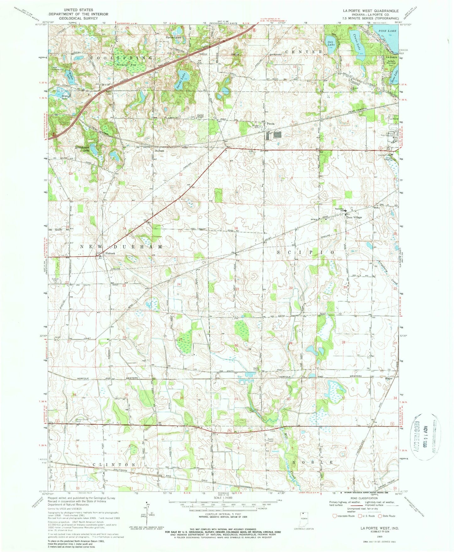
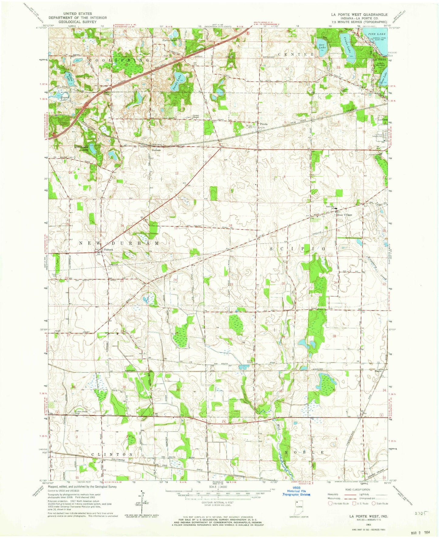
Historical USGS topographic quad map of LaPorte West in the state of Indiana. Map scale may vary for some years, but is generally around 1:24,000. Print size is approximately 24" x 27"
This quadrangle is in the following counties: LaPorte.
The map contains contour lines, roads, rivers, towns, and lakes. Printed on high-quality waterproof paper with UV fade-resistant inks, and shipped rolled.
Contains the following named places: Camp To-Pe-Ne-Bee, Carmel Chapel, Crane Lake, Door Village, Door Village Elementary School, Durham, Eaheart Cemetery, Hildebrand Lake, Laporte Fair Grounds, Magee, Miriam Benedict Cemetery, Orr Lake, Pinhook, Pinhook Bog, Pinola, Pretty Prairie Creek Road Dam, Ryden Lakes, Scipio Township Volunteer Fire Department Station 1, Soldiers Memorial Park, Swede Lake, Township of New Durham, Township of Scipio, Walton Lake, Walton Lake Dam